Goochland County Offers Historic Map Viewer For Public Research
Goochland County now provides an online Historic Map Viewer that overlays current digital maps with historic maps from multiple years, giving residents, researchers, and developers new ways to track changes in roads, property patterns, and land use. The tool matters locally for property research, planning decisions, and preserving community history.

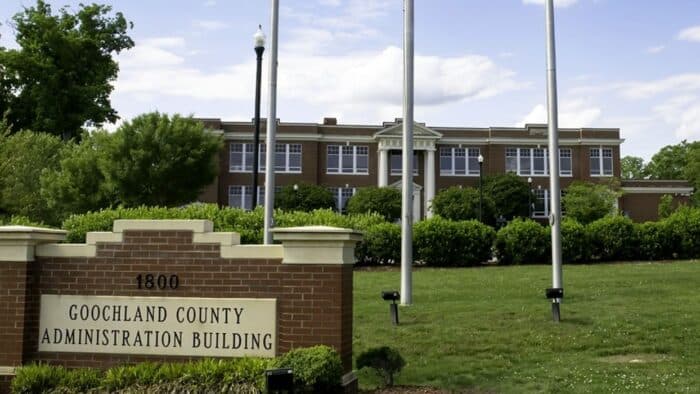
Goochland County's Historic Map Viewer is an online public tool hosted by the county that allows users to compare modern digital mapping with a series of historic maps. The viewer includes maps from a range of years, with examples on the county site including maps from 1820, 1863, 1880, 1919 and 1932. It is featured in the county's Spotlight & News section and remains a persistent public resource for history, planning and property research.
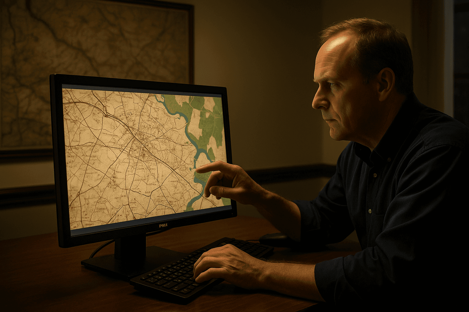
The mapping interface overlays historic cartography on contemporary base maps, enabling side by side visual comparison and layer adjustments for detailed inspection. For residents and property owners this makes it easier to trace the historical evolution of parcel boundaries and to see whether roads once ran along different alignments. For researchers and developers the tool offers a quick reference for historic land use and settlement patterns that can inform studies, proposals and environmental reviews.
Local government planners and conservation groups can also use the viewer to identify historically significant landscapes and changes that bear on zoning, land conservation and infrastructure planning. The ability to consult maps from 19th and early 20th centuries provides context for long running property questions and can support informed dialogue between neighbors, landowners and county officials. The resource may help educators and local historians bring archival materials into classrooms and public programs, making the county's past more accessible to students and visitors.
The Historic Map Viewer reflects wider trends in open data and digital preservation that municipal governments around the world are adopting to increase transparency and community engagement. By hosting the service on the county website the local government has created an ongoing public reference that dovetails with planning processes and heritage initiatives. Residents can access the viewer through the county's Spotlight & News section to conduct research, prepare for development consultations or simply explore how Goochland County has changed over two centuries.
Know something we missed? Have a correction or additional information?
Submit a Tip%2Fprod01%2Fvdot-cdn-pxl%2Fmedia%2Fvdotvirginiagov%2Fprojects%2Frichmond%2Finterstate-64-and-route-623-interchange-goochland%2FI-64-Ashland-Road-DDI-Roll-Plot-image.png&w=1920&q=75)