Harris County faces flood warning as heavy rain swamps roads
A flood watch stretched across southeast Texas as 2 to 4 inches already fell in Harris and Montgomery counties, with more rain threatening saturated ground.
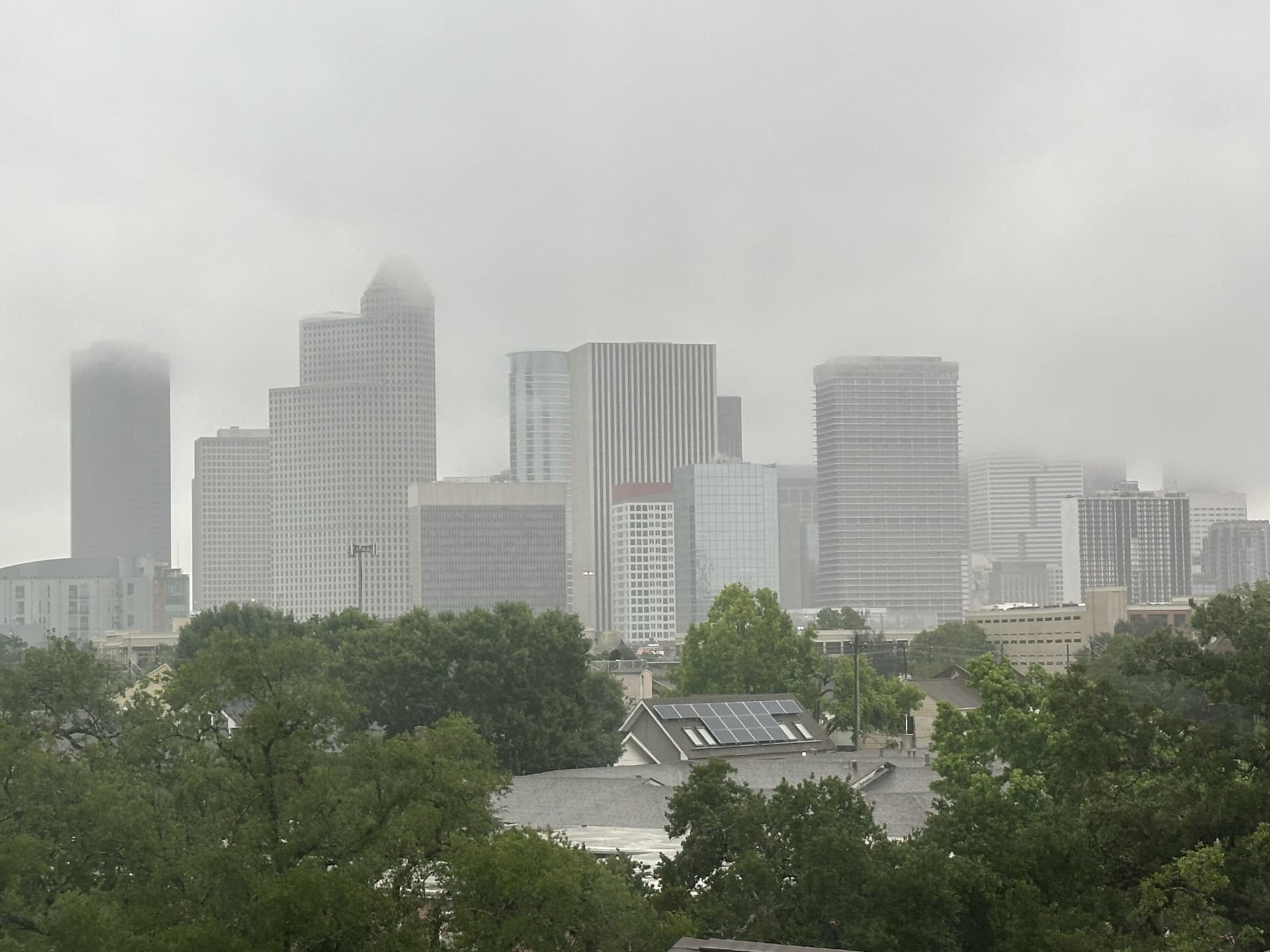
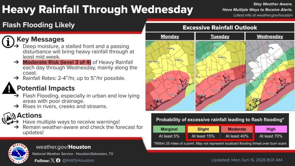
Heavy rain had already soaked Harris and Montgomery counties with 2 to 4 inches by midafternoon Monday, and the National Weather Service warned the danger could worsen fast as a slow-moving front kept storms parked over saturated ground. The flood watch covered all of southeast Texas through Thursday morning, with the strongest flooding risk centered in the region’s southern and coastal counties, where the weather service rated the threat Level 3 of 4, or moderate, for excessive rainfall capable of flash flooding.
In Harris County, the most vulnerable spots were the north and northeast parts of Houston, including the Greens Bayou area near U.S. 59, where minor flooding was possible. The weather service said another 1 to 3 inches of rain was expected in Harris and Montgomery counties, enough to push low-lying and poor-drainage areas into minor flooding. Across much of Southeast Texas, forecast totals were 4 to 7 inches, with isolated locations potentially topping 10 inches if the heaviest bands lined up over the same neighborhoods.

The threat was already moving from forecast to road hazard. Houston TranStar reported high-water locations along northbound Interstate 45 and tracked road closures and other changing conditions through the evening, a sign that commuters could not rely on earlier assumptions about passable routes. In a flood setup like this, streets and storm pipes can be overwhelmed in minutes, not hours, leaving drivers stranded on routes that looked clear only moments before.
For residents trying to judge what to do next, the quickest checks came from the Harris County Flood Warning System and TranStar’s live incident page. The county system provides bayou levels, rainfall data, and inundation maps for flooded roads, parks, and low-lying areas, giving a real-time view of where water is rising and where travel is becoming unsafe. The weather service also said it was watching a disturbance over northern Mexico and south Texas, which helped explain why the rain threat was expected to persist rather than move out quickly.


The timing mattered beyond a single storm system. June 1 marked the official start of the 2026 Atlantic hurricane season, and Harris County officials had already urged residents to prepare. With flood watches, roadway closures, and waterlogged ground converging at once, the county faced a familiar early-summer danger: rain that turns routine trips into emergencies and gives bayous, underpasses, and low-lying neighborhoods little margin for error.
This article was produced by Prism’s automated news system from verified source data, official records, and press releases, then run through automated quality and moderation checks before publishing. The system is built and supervised by the people who set the standards it runs under. Read our full AI policy.
Know something we missed? Have a correction or additional information?
Submit a Tip