Harris County flood district offers webinars on draft flood maps
South and northeast Harris County homes could see flood-zone changes on draft FEMA maps, but insurance and permitting rules have not changed yet.
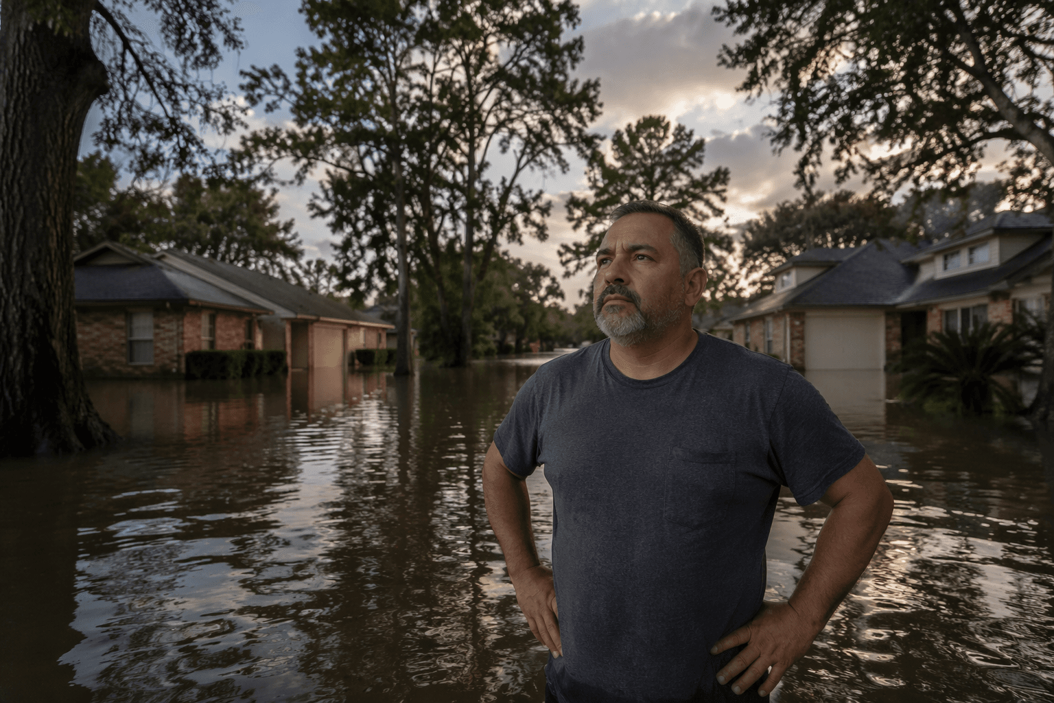
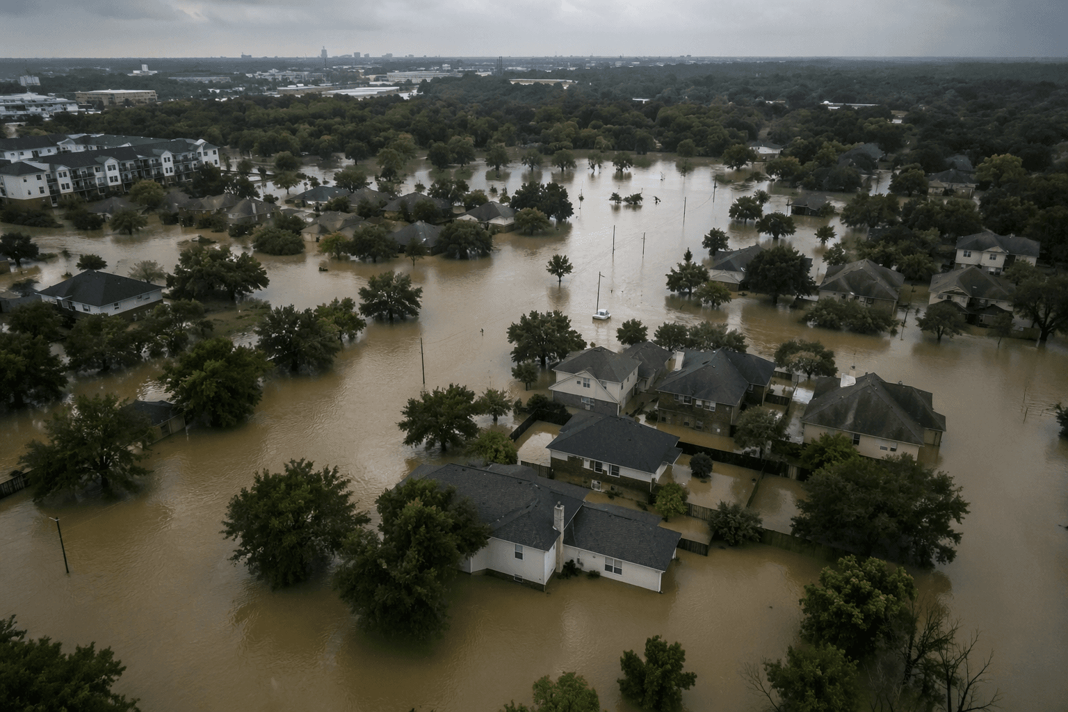
Residents in south Houston, northeast Harris County near Lake Houston and some southwest Houston neighborhoods could see their flood-risk designation shift on Harris County’s new draft maps, but the county says nothing changes immediately for insurance, permits or development rules. The Harris County Flood Control District used a series of public webinars to walk people through the draft Federal Emergency Management Agency floodplain maps and show how to use the county’s online interactive map before the next storm season.
The update is the first broad countywide look at floodplain boundaries in nearly 20 years, with the last FEMA maps dating to 2007. Local coverage in February described the draft as a major revision that could expand the 100-year and 500-year floodplains in parts of south Houston and around Lake Houston, while some southwest Houston areas may be shown with lower flood risk. Officials say the changes reflect heavier rainfall, new development and mitigation work such as channel widening, bridge replacements and expanded stormwater detention along bayous.
The Flood Control District, which the Texas Legislature created in 1937 and Harris County Commissioners Court governs, says the stakes are high in a county where a major flood happens somewhere about every two years. That is why homeowners, renters, buyers, builders and floodplain administrators have been watching the MAAPnext process closely, especially in places such as Brays Bayou, Kingwood and other neighborhoods that have lived with repeated flooding.
County officials stress that the draft maps are not final, cannot be used for insurance or regulatory decisions and are not open for public comment yet. FEMA will release Preliminary Flood Insurance Rate Maps only after it finishes federal review and publishing procedures, which will then trigger a formal public review and appeal period. Until then, the webinars are meant to help residents understand where a property falls, what a 100-year floodplain means and what the county’s maps may mean later if the draft becomes final.
The Flood Control District’s Flood Education tool also makes one point plain: everyone lives in a flood zone, even if a home is far from water. For Harris County residents checking on a property now, the practical step is to use the county’s interactive map, compare the current draft with the neighborhood’s existing status and keep an eye on the federal review timeline before the county enters another hurricane season.
This article was produced by Prism’s automated news system from verified source data, official records, and press releases, then run through automated quality and moderation checks before publishing. The system is built and supervised by the people who set the standards it runs under. Read our full AI policy.
Know something we missed? Have a correction or additional information?
Submit a Tip