Harris County Launches Interactive Maps Revealing Neighborhood Cancer Prevalence Data
Harris County Public Health released interactive cancer maps covering all census tracts in the county's 1,800 square miles, with brain cancer rates flagged as alarmingly high countywide.

Harris County Public Health released comprehensive cancer prevalence data, including interactive maps accessible online, giving residents, researchers, and policymakers a tool to examine disease patterns at the neighborhood level for the first time at this scale.
The maps are accessible for all census tracts in Harris County and cover data for 16 types of cancer. The new tools blend recent cancer registry reports with interactive mapping so users can sort data by cancer type, time period, and demographic group. The prevalence data covers every neighborhood within the nearly 1,800 square miles that make up Harris County.
Jackie Medcalf, longtime director of the Texas Health and Environment Alliance, says the most alarming trend involves abnormally high rates of brain cancer across much of Harris County. "Brain Cancer is the number one most prevalent cancer found across Harris County when compared to the State of Texas. That's incredibly concerning. What is going on in Harris County? We do not all have the same genetics. We all don't share the same lifestyle. We don't share occupations. What is the commonality broadly across our County that our disease rates, particularly with brain cancer, are so abnormally high?" said Medcalf.
Medcalf also pointed to the maps as a resource for individual decision-making. "This data allows anyone curious about health in Harris County or curious about where they live or might live — gives them the ability to drill down into what types of cancer are abnormally high in a neighborhood compared to the State of Texas, and then they can make informed decisions. Do they want to stay there? Do they want to move?" said Medcalf.
Medcalf credited Harris County Public Health, Harris County Pollution Control, and the County Attorney's Office for delivering an unprecedented level of disease prevalence transparency.
The release arrives against a backdrop of escalating concern over East Harris County in particular. In a 2013–2021 analysis requested by the Texas Health and Environment Alliance, the Texas Department of State Health Services found that several cancers in the East Harris study area were "above the expected range," including cancers of the cervix uteri, as well as leukemia, lung and bronchus cancers, and lymphoma. DSHS emphasized that this type of review compares observed counts to expectations and does not identify causes, and the agency said that finer-grained local monitoring is still needed.
The public-facing site runs on the Texas Cancer Registry's online platform, which lets anyone pull county-level and sub-county views. The registry's visualization tool, TxCanViz, provides Texas-specific data and heat maps that show how different areas compare.
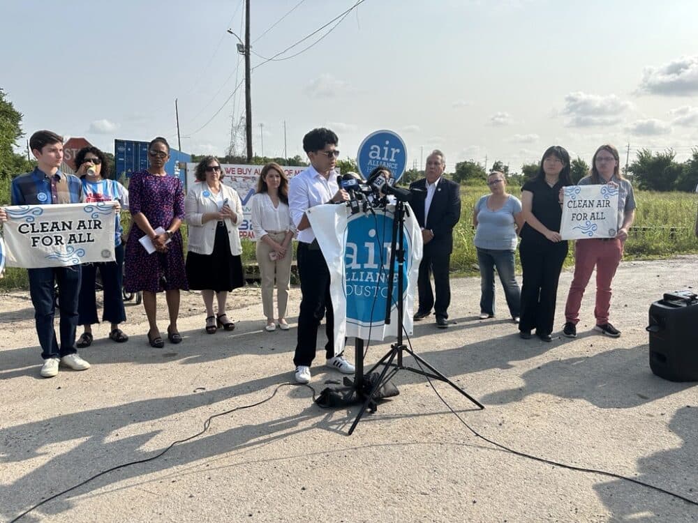
Since its founding, THEA has worked neighborhood-by-neighborhood to clean up toxic chemicals in Houston and Harris County, building a coalition of more than 58,000 residents and influencing more than $122 million in EPA-ordered cleanup projects. The new county maps now give that coalition — and every Harris County resident — a searchable window into the cancer data that advocates have long sought to make public.
This article was produced by Prism’s automated news system from verified source data, official records, and press releases, then run through automated quality and moderation checks before publishing. The system is built and supervised by the people who set the standards it runs under. Read our full AI policy.
Did this article answer your question?