Houston rainfall intensity up 22% since 1970, study finds
Houston’s rain is falling harder, not just more often. Climate Central found rainfall intensity is up 22% since 1970, raising flood risk on neighborhood streets and bayous.
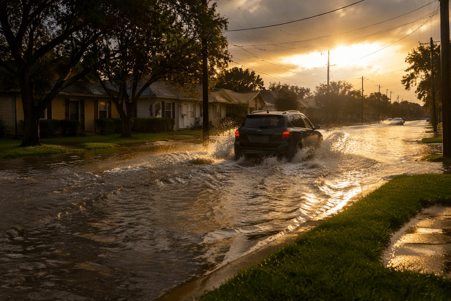
Rainfall intensity in Houston has increased 22% since 1970, Climate Central data show. A short, heavy burst can flood streets, stall commutes and push water toward homes across Harris County.
Total annual rainfall is not the same thing as how fast rain falls. In Houston, the pressure point is often a few intense minutes or hours that overwhelm drainage, fill roadside ditches and send water across low spots before it can move into bayous or detention areas. Summer thunderstorms can pose flash-flood danger even when they do not look like a named tropical system.
The Harris County Flood Control District, created by the Texas Legislature in 1937, says a major flood occurs somewhere in the county about every two years. Most flooding happens in areas developed before today’s understanding of flood potential and before modern restrictions on construction in flood-prone areas, the district says, a legacy that still shapes how fast water reaches neighborhoods from west Houston to Baytown.
The district’s Flood Warning System measures rainfall and water levels in real time, and its planning uses NOAA Atlas 14 rainfall data and countywide hydrologic and hydraulic modeling. Those tools catch the kind of short-duration downpour that can turn a normal route into a flooded one, especially where streets, bayous and detention basins already work at the edge of capacity.
Hurricane Harvey sat over Southeast Texas for four days in 2017 and dropped more than 60 inches of rain in some locations. NOAA says Harvey became the second-costliest hurricane in U.S. history after inflation, while the National Weather Service says it was the first major hurricane to hit Texas since Bret in 1999 and the first hurricane to strike the Texas coast since Ike in 2008.

A peer-reviewed Houston precipitation study used data from 63 Harris County Flood Control District rain gauges. Rice University researchers found overlooked areas can experience higher average pluvial flood depths, citing 15 cm in overlooked areas versus 7 cm inside mapped zones.
This article was produced by Prism’s automated news system from verified source data, official records, and press releases, then run through automated quality and moderation checks before publishing. The system is built and supervised by the people who set the standards it runs under. Read our full AI policy.
Did this article answer your question?