NWS issues tornado warning for southwest Hernando, Spring Hill area
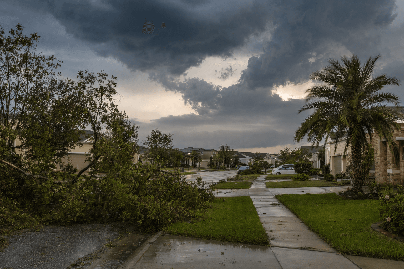
Southwest Hernando was in the warning path as a tornado-capable storm crossed Hudson toward Spring Hill and Timber Pines. Two EF-0 twisters later confirmed in Pasco left roof and tree damage, but no injuries.
A tornado warning put southwest Hernando County in the danger zone as a severe thunderstorm with radar-indicated rotation moved east out of Hudson at 15 mph, with Spring Hill and Timber Pines listed among the near-term impact areas. The National Weather Service Tampa Bay Area issued the warning at 2:24 p.m. on May 12 and told people in the path to take cover immediately as the storm crossed northwestern Pasco County and southwestern Hernando County.
The warning stayed in effect until 3 p.m. and also covered Hudson, Shady Hills and Bayonet Point. At the time, forecasters said the storm was capable of producing a tornado and warned that flying debris could be dangerous, with mobile homes vulnerable to major damage or destruction. Roofs, windows, vehicles and trees were also at risk.
The first confirmed tornado touched down near Hudson around 2:14 p.m., just before the warning was issued, and dissipated about five minutes later. The National Weather Service later rated it EF-0 with estimated peak winds of 85 mph, a path length of 1.19 miles and a maximum width of 400 yards. A preliminary local storm report at 2:37 p.m. had already logged a tornado report 1 SSW Hudson, with Pasco County dispatch reporting roof damage.
The damage survey showed how narrowly the storm sliced through neighborhoods east of U.S. Highway 19. Crews documented a snapped tree branch that fell onto a power line, partial roof loss or other roof damage, and damage to lanais, carports and trees in areas including Saltwater Boulevard, Puffin, Heron, Curlew, Osprey and Gull lanes.
About 20 minutes later, radar showed increasing rotation west of Shady Hills, and the Weather Service estimated a second tornado touched down around 2:43 p.m. That tornado also was rated EF-0, with 85 mph peak winds and a path of less than one mile. FOX 13 Tampa Bay reported the second twister mainly caused tree damage and toppled a large tree onto a mobile home near Shady Hills. No injuries or deaths were reported from either tornado.
The outbreak came during a broader severe-weather setup over the Nature Coast and West Central Florida, when a quasi-stationary surface boundary and an approaching upper-level disturbance helped organize thunderstorms over the eastern Gulf before they moved ashore. WUSF reported that Florida had recorded only four tornadoes by mid-May, more than 70% below the usual pace for that point in the year.
For Hernando County, the warning was a reminder that a fast-moving storm over Pasco can become a direct threat within minutes. With Spring Hill and Timber Pines in the warning area, residents in mobile homes, apartments and single-family houses alike were in the path of a system that showed how quickly west coast weather can turn violent again.
This article was produced by Prism’s automated news system from verified source data, official records, and press releases, then run through automated quality and moderation checks before publishing. The system is built and supervised by the people who set the standards it runs under. Read our full AI policy.
Did this article answer your question?