Lordsburg’s history was shaped by railroads, highways and freight routes
Lordsburg grew around the routes that still define it, from the Southern Pacific to US 80, I-10 and New Mexico’s first airport. In Hidalgo County, crossroads history still shapes where people live, work and stop.
Lordsburg is not just a point on the map in southwest New Mexico. It is a town built by movement, where rail crews, stage routes, truck traffic and early aviation left a footprint that still shapes where people shop, refuel, work and pass through Hidalgo County. The same corridors that made Lordsburg a stop for freight and travelers still explain why the city remains one of the county’s most recognizable crossroads.
Railroad roots and the first camp
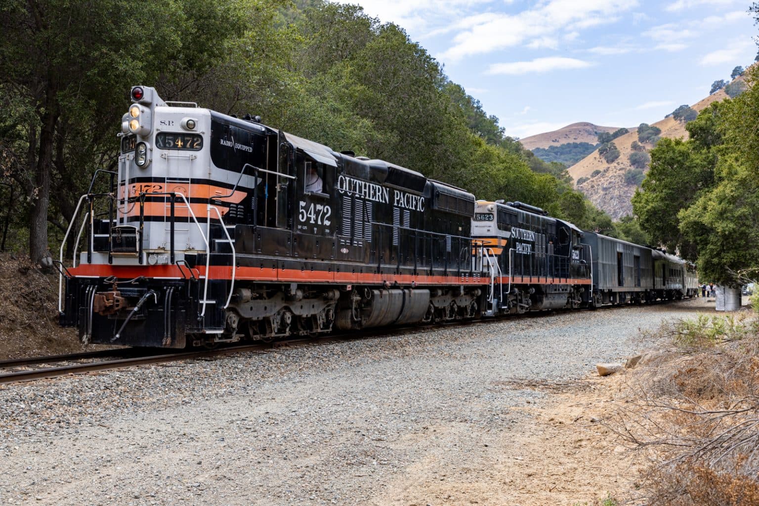
Lordsburg dates to 1880, when the Southern Pacific Railroad came through from the west and an original camp formed around it. That camp quickly filled with railroad workers, freighters, miners, cowboys, ranchers, gamblers and merchants, a mix that says as much about the town’s early economy as any official slogan ever could. The railroad did more than give Lordsburg a beginning: it gave the town its first reason to exist.
Local history also places Lordsburg on an older travel corridor. A historical marker ties the town’s founding to the Southern Pacific route and notes its proximity to the Butterfield Overland Mail Company route used from 1858 to 1861. That detail matters because it shows Lordsburg sitting inside a transportation pattern that predates the railroad itself. Before freight lines and interstate exits, people and goods were already being funneled through this part of the bootheel.
The town’s name carries that same railroad-era ambiguity. One local-history tradition says Lordsburg may have been named for Delbert Lord, a Southern Pacific railroad engineer. Another says it may have been named for Dr. Charles H. Lord, a New York native who came west during the Civil War and later became one of Tucson’s leading businessmen. Either way, the naming stories link the town to men who moved through the larger economic world of the Southwest, not to a settlement cut off from it.
From stage route to US 80
Long before Interstate 10, Lordsburg became important in freight and travel because the Butterfield Stage Route passed through the area, and later the town made its name at the junction of Highways 70 and 80. That junction helped turn Lordsburg into a place where travelers expected to stop, not merely pass by. Gas stations, cafés, service yards and roadside businesses depend on that habit of stopping, and in Lordsburg that habit grew out of the town’s transportation history.
U.S. Route 80 reinforced that pattern. The highway ran through southern New Mexico from 1926 until Interstate 10 replaced it in New Mexico in 1991. In Hidalgo County, NM 80 is the last section of the old US 80 in the state that still keeps its number, a rare surviving piece of a once-major transcontinental route. That makes the road story easy to read on the ground: the old highway logic is still visible in the town’s layout, even after the interstate shifted the main stream of traffic.
The change from US 80 to I-10 did not erase Lordsburg’s role. It changed the rhythm of it. Instead of being the main highway town on the old route, Lordsburg became one of the places where interstates, local roads and freight corridors intersect, a difference that still affects where business clusters and how people moving through the county find the town.
Aviation added a third route
The road-and-rail story got a third layer in 1924, when Lordsburg Municipal Airport opened for landings and became New Mexico’s first airport. That makes the airport more than a local airstrip. It is part of the state’s early aviation history, and it shows that Lordsburg was already thinking in multiple directions at once: rail, road and air.
Charles Lindbergh’s landing in 1927 gave the airport a national connection. During his tour, he touched down in Lordsburg and spent about half an hour there before continuing east. The visit lasted only a short time, but it added to the airport’s place in local memory and confirmed what the town already knew: Lordsburg was not isolated. It was on the map in ways that mattered to travelers moving across the West.
The airport still matters for practical reasons. AOPA lists its asphalt Runway 12/30 at 5,011 by 75 feet, with pilot-controlled lighting and self-service 100LL and Jet A fuel. A recent local aviation report describes the runway as 5,224 feet and notes that the nearest commercial flight is about 150 miles away. For the Bootheel, that is not an abstract fact. It means the airport remains a real connector in a part of the state where long drives are part of daily life.
Why Hidalgo County still reads like a crossroads
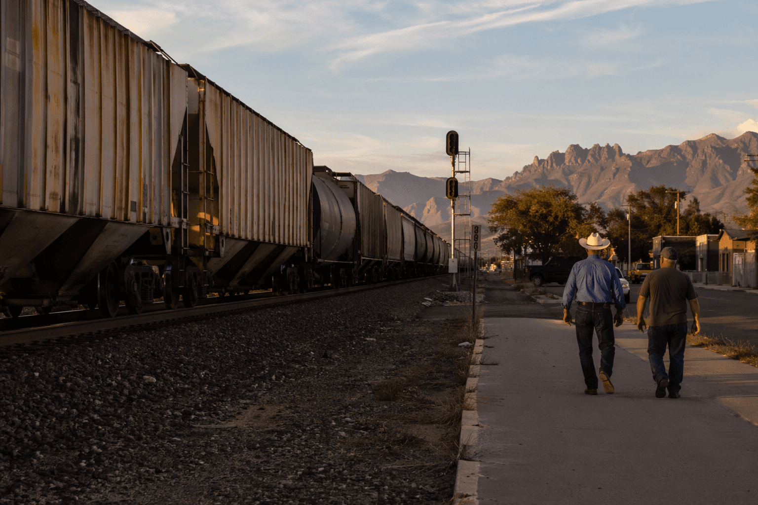
Today, the Lordsburg-Hidalgo Chamber of Commerce describes Hidalgo County as a commercial hub where five separate highways converge. That is the modern version of the old railroad and stage route story: a place where routes meet, and where the movement of people and goods still shapes local decisions. County roads, state highways and the interstate do not just carry traffic through the area. They determine access to services, timing for businesses and the practical geography of everyday life.
The county road system gives that reality a hard number. Hidalgo County’s road department says the county maintains 480.7 miles of roads divided into three maintenance sections. That is a reminder that transportation here is not only about big historic routes. It is also about the roads people actually use to get to work, reach schools, visit family, haul freight and move between the small places that make up the county.
Transportation planning reflects that breadth. The City of Lordsburg’s 2024 comprehensive plan treats transportation as one of the community’s core planning categories, alongside roadways, railroad, aviation, pedestrian and bicycle routes and UTVs. That mix shows how local life in Lordsburg and Hidalgo County crosses different kinds of mobility at once. A ranch road, a freight lane, an airport runway and a downtown sidewalk all belong to the same story.
The town’s identity still comes from the route map
Lordsburg’s history is easiest to understand by looking at the places still in use today. The railroad explains the town’s origin. The old highway junction explains its commercial identity. The airport explains why a remote county seat still has an aviation link of its own. Together they form a landscape where travel is not background noise but the reason the town exists.
That is why being a crossroads still matters in Hidalgo County. It affects how the town welcomes visitors, how local businesses capture passing traffic, how residents move across the county and why Lordsburg remains a recognizable stop in the Bootheel of New Mexico. The routes changed from stage road to railroad to highway to interstate, but the basic idea stayed the same: in Lordsburg, movement built the place, and the place still serves movement.
This article was produced by Prism’s automated news system from verified source data, official records, and press releases, then run through automated quality and moderation checks before publishing. The system is built and supervised by the people who set the standards it runs under. Read our full AI policy.
Know something we missed? Have a correction or additional information?
Submit a Tip

