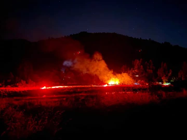
4.7 earthquake shakes waters offshore of Eureka, no damage reported
A shallow 4.7 quake struck 57 km west of Petrolia before dawn, after smaller offshore jolts near Fortuna. No damage reports had surfaced in Humboldt County.

A shallow magnitude 4.7 earthquake shook the North Pacific Ocean 57 kilometers west of Petrolia at 3:41:31 a.m., with the U.S. Geological Survey listing the event at just 1.7 kilometers deep. Minutes later, the same feed showed a magnitude 2.7 quake 61 kilometers west of Petrolia at 3:50 a.m., adding to a small offshore cluster that also included earlier 3.9 and 3.7 quakes near Fortuna.
No damage reports had surfaced in Humboldt County in the verified sources checked, but the sequence was enough to put Eureka, Fortuna and the coast on alert before sunrise. In a county that sits on the edge of some of the West Coast’s most active faulting, even a modest offshore cluster quickly becomes a public safety issue, not just a geological one.
The broader backdrop is the Cascadia Subduction Zone, which the U.S. Geological Survey describes as a 1,000-kilometer megathrust boundary stretching from the Mendocino Junction off northern California to the Nootka Fracture Zone off Vancouver Island. That setting is why Humboldt County lives with both earthquake and tsunami risk, and why a shallow offshore event gets attention even when it does not produce obvious damage.
Small clusters like this one do not by themselves mean a larger quake is imminent, but they do show that the offshore plate boundary remains active. The U.S. Geological Survey’s Latest Earthquakes tool is designed to display real-time and near-real-time events, including earthquakes of magnitude 2.5 and higher in the United States and 4.5 and higher globally, as part of the agency’s Earthquake Hazards Program.
The practical response for households over the next 24 hours is straightforward: keep phones charged, review emergency kits, and make sure shoes, flashlights and medications are easy to grab. Families in low-lying coastal areas should also know evacuation routes in case a stronger offshore earthquake triggers a tsunami warning. California’s Humboldt County tsunami hazard maps, released in August 2020, show inundation and evacuation zones, and they remain the most concrete reminder of how quickly conditions can change after an offshore rupture.
Humboldt’s recent history reinforces the point. A magnitude 7.0 earthquake struck offshore on Dec. 5, 2024, and a magnitude 6.4 quake hit near Ferndale on Dec. 20, 2022. In a county where the ground and the shoreline both matter, even a brief pre-dawn cluster is a reason to stay ready.
This article was produced by Prism’s automated news system from verified source data, official records, and press releases, then run through automated quality and moderation checks before publishing. The system is built and supervised by the people who set the standards it runs under. Read our full AI policy.
Did this article answer your question?