Arcata Community Forest balances recreation, habitat and timber revenue
Arcata’s 2,350-acre community forest pays for operations with timber revenue while giving residents trails, habitat and watershed protection. The city treats it as a working asset, not just open space.
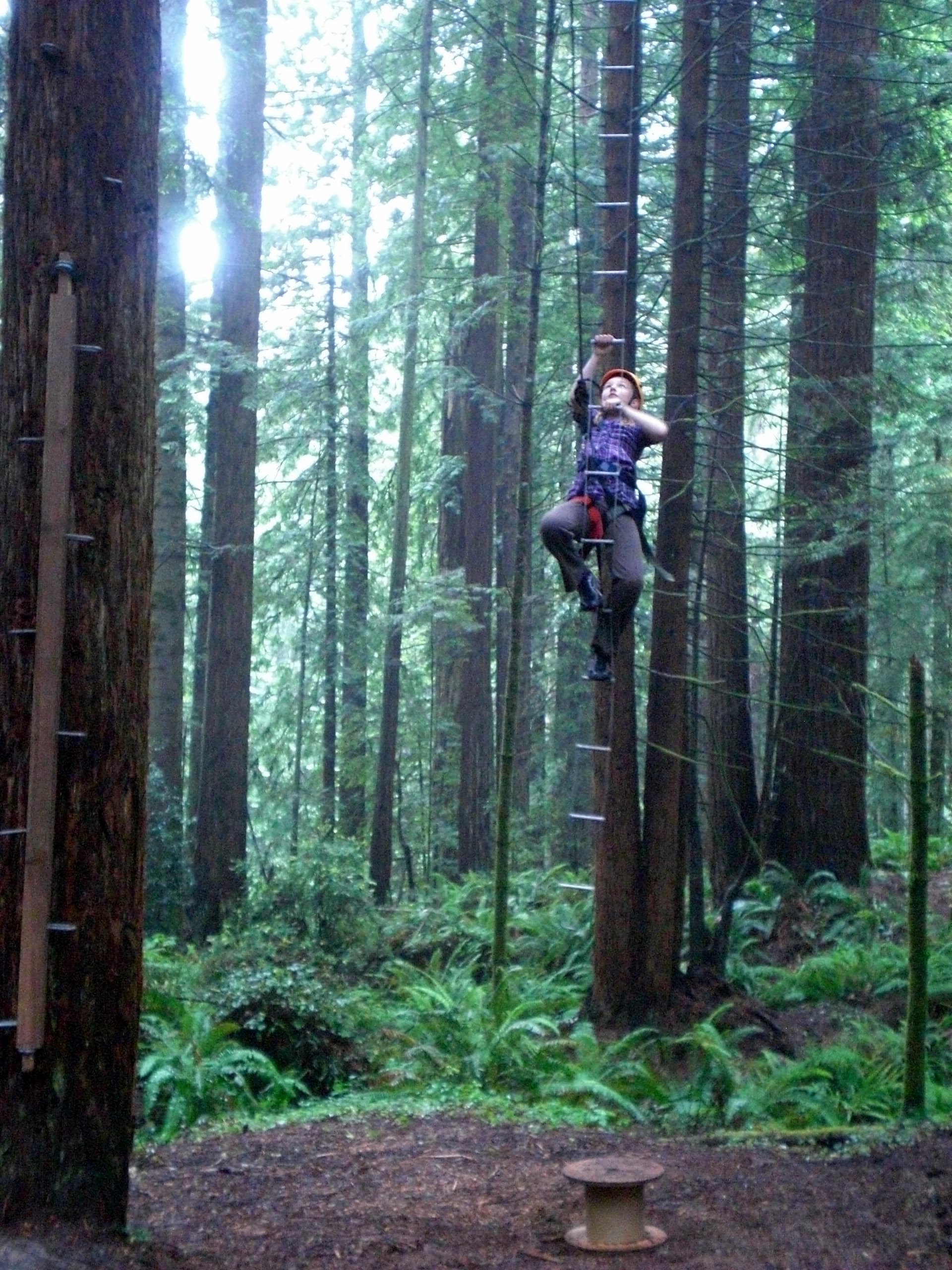
Established in 1955, the 2,350-acre Arcata Community Forest, a stand of second-growth redwoods on the east side of town, helps fund its own operations through timber harvest revenue while giving Arcata residents direct access to trails, habitat and watershed protection.
A working forest at the edge of town
The Arcata Community Forest is part of a broader municipal forest system built around revenue, habitat diversity and community-based forestry. Community forests are relatively rare in the western United States, even as interest in them has grown. Arcata holds timberland as a public asset instead of treating it only as preserved open space.
Old-Growth Forest Network identifies the forest as the first municipally owned forest in California. The land also sits inside a longer local story that includes logging, grazing and water supply.
How the forest pays for itself
Revenue sits at the center of the program, alongside maximizing habitat diversity and the objectives of the 1994 Forest Management Plan. Timber harvest revenue funds forest operations, habitat restoration and management, giving the forest a direct place in the municipal budget as well as in daily outdoor life.
The city uses the forest to generate money, but the harvest also has to support habitat values, public access and long-term forest health. The forest serves as both a source of revenue and public infrastructure.
Where residents get in
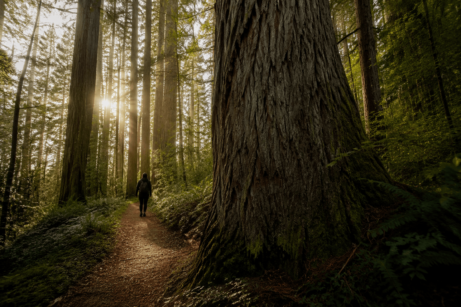
The forest is easy to reach from town. The Arcata Community Forest is accessible from Redwood Park at the east ends of 11th and 14th Streets, from Fickle Hill Road on the south side at the east ends of 11th and 7th Streets at Bayside Road, and from the east end of California Street, which connects with L.K. Wood Boulevard north of Cal Poly Humboldt.
The forest is part of everyday Arcata rather than a destination that requires a long drive. Runners, hikers, dog walkers, students and families can move from neighborhood streets into redwoods within minutes.
- Redwood Park at the east ends of 11th and 14th Streets
- Fickle Hill Road at the east ends of 11th and 7th Streets, near Bayside Road
- East end of California Street, which connects with L.K. Wood Boulevard north of Cal Poly Humboldt
Trails that connect the city’s forest pieces
The Arcata Ridge Trail shows how the city has treated the forest as connected civic infrastructure. The trail was completed after more than a decade as a city and community priority project, linking the main tract of the Arcata Community Forest with the Sunny Brae Forest Tract.
The link turns separate parcels into a larger usable system. Instead of isolated blocks of city-owned timberland, Arcata has been building a trail network that lets people move through the forest landscape and tie together different parts of the city’s green space.
Watershed protection and land acquisition
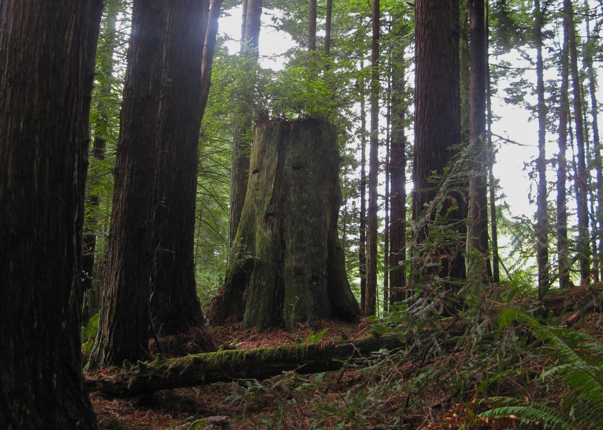
Arcata has also used outside funding to protect forest land and secure access. In September 2010, California Coastal Conservancy staff recommended authorizing up to $100,000 for acquisition of an approximately 16.3-acre forest property and an adjacent access easement in the Janes Creek watershed for a public-access project. The purchase linked watershed land and public access in the city’s forest strategy.
The California Natural Resources Agency awarded the city a $90,000 Environmental Enhancement and Mitigation Grant, plus $150,000 in CAL FIRE Forest Legacy Program Greenhouse Gas Funds and $5,000 from the City of Arcata, to connect Humboldt State University and the community forest. The forest is not managed as a static reserve. The city has actively expanded, connected and improved it through acquisition, trail work and state support.
A larger municipal forest system
The Arcata Community Forest is only part of the city’s broader holdings. A 2005 conference questionnaire put the Arcata Community Forest and the Jacoby Creek Forest at 1,984 acres of forested uplands, with the city also owning more than 600 acres of wetland and riparian lowlands in the same coastal watersheds.
Arcata is managing uplands, lowlands and access corridors together, which ties timber revenue, habitat work and watershed protection into one municipal landscape. The city’s forest materials also point to volunteer stewardship, including invasive plant removal, trail construction and guided interpretive tours.
This article was produced by Prism’s automated news system from verified source data, official records, and press releases, then run through automated quality and moderation checks before publishing. The system is built and supervised by the people who set the standards it runs under. Read our full AI policy.
Did this article answer your question?