CHP Incident Feed Tracks Humboldt Highway Hazards and Collisions for March 24
Rocks blocked the roadway near Gasquet and an injury crash hit Salmon River Road among several hazards the CHP logged across Humboldt highways March 24.
Rocks scattered across the roadway near Patrick Creek Road on Highway 199, a collision with unknown injuries on steep-grade Salmon River Road, and a traffic hazard flagged at mile marker 79.90 on Highway 101 South were among the incidents logged by the California Highway Patrol across Humboldt County on March 24.
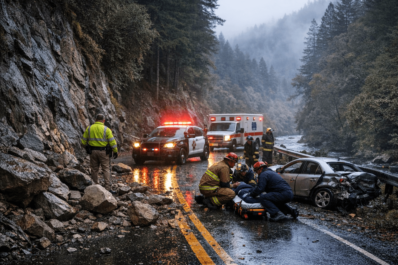
The Highway 199 call came in around 11:40 p.m., with rocks reported on the road at the Patrick Creek Road junction and additional debris spread roughly two miles north of Gasquet. The corridor, which carries both local traffic and travelers heading toward the Oregon border, has a documented history of rockfall hazards, particularly during wet-weather months when hillside saturation loosens material onto the pavement.
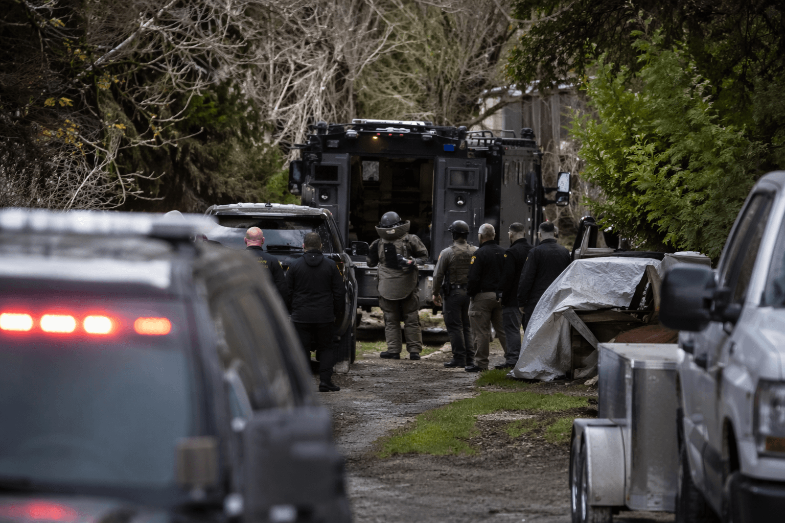
The Salmon River Road collision drew a more urgent response. A reporting party said she found a note on her door directing her to call 911 about an accident on the road, which CHP dispatch described as very steep with visible marks on the pavement. The initial classification listed injuries as unknown, and CHP updated the call from a suspicious circumstances report to a traffic collision with unknown injuries as the situation came into focus.
The Highway 101 South hazard near mile marker 79.90, in the stretch corresponding to the 7985 Highway 101 S address block, rounded out the day's more notable entries on the county's primary north-south corridor.
Lost Coast Outpost publishes the CHP watch log daily, pulling timestamped dispatch entries from the statewide incident feed for Humboldt-area highways including 101, 299, and 36. The feed gives motorists, emergency coordinators, and local agencies a real-time picture of road conditions across a county where a single blocked lane on a remote two-lane highway can delay school buses, freight trucks, and ambulances by significant margins.
CHP dispatch entries are preliminary by design. They reflect what callers reported in the moment and what officers relayed back to dispatch, not the conclusions of a full collision investigation or a coroner's finding. In cases involving possible injuries, the feed functions as an early alert rather than a definitive account, and journalists and residents should follow up with CHP, Humboldt County Sheriff's Office, or emergency medical services for complete information.
The March 24 log reinforced a pattern visible throughout the county's CHP records: Highway 199 near the Del Norte County line remains a persistent rockfall corridor, Highway 101 South draws regular hazard calls in its mid-county mileage, and rural roads like Salmon River Road present delayed-discovery risks where collisions go unreported until someone stumbles on evidence hours later. Those patterns, accumulated across months of feed data, are the kind of detail transportation planners and Caltrans engineers use when prioritizing signage upgrades, slope stabilization projects, and targeted enforcement deployments.
This article was produced by Prism’s automated news system from verified source data, official records, and press releases, then run through automated quality and moderation checks before publishing. The system is built and supervised by the people who set the standards it runs under. Read our full AI policy.
Did this article answer your question?