Humboldt County seeks public input on major bay area plan update
Residents are weighing a rewrite of Humboldt’s bay plan that could steer shoreline development, hazard rules and infrastructure across 21,500 acres and 20 miles of coast.
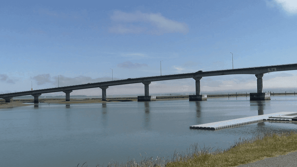
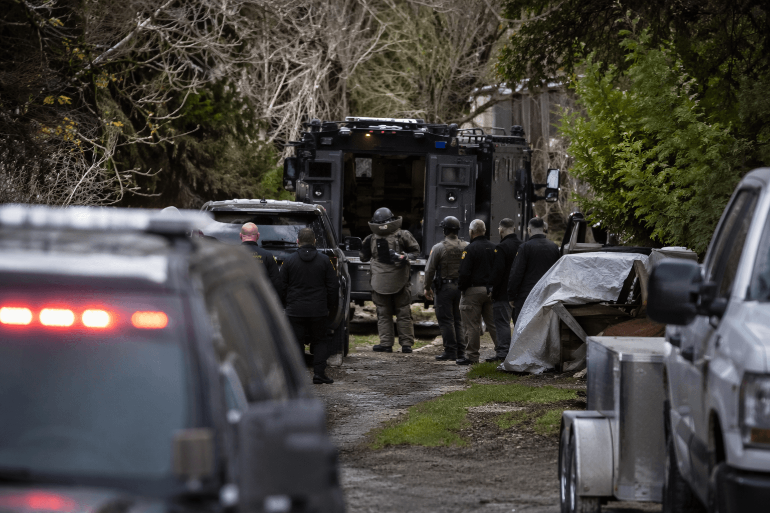
Residents across the Humboldt Bay shoreline are being asked to help shape rules that will guide where homes, businesses and infrastructure can go as sea-level rise, tsunami hazards and development pressure intensify. The Humboldt Bay Area Plan update covers about 21,500 acres in the unincorporated area around Humboldt Bay and more than 20 miles of Pacific coastline, placing Eureka, Arcata, Samoa, King Salmon and Indianola inside its reach.
A virtual community meeting Tuesday at 6 p.m. gave the public a first look at the draft, which the County of Humboldt released June 1. The Humboldt County Planning & Building Department says this is a comprehensive update, not a routine cleanup, and that the plan will address structure height, lighting, environmentally sensitive habitat areas, sea-level rise and tsunami safety planning.
County materials say the update will incorporate the most recent tsunami run-up predictions from the California Geological Survey and sea-level-rise guidance from the National Oceanic and Atmospheric Administration and the California Coastal Commission. The Humboldt Bay Area Plan is part of the county’s Local Coastal Program, and county and Coastal Commission records show it was originally certified in 1982, then approved and adopted in stages that same era, before decades passed without a full update.

That history matters because the draft is meant to guide future decisions in places where coastal hazards and land-use conflicts overlap. County materials also show the update beginning to address planning needs tied to a heavy lift terminal that could support offshore wind, while February 17 meeting materials flagged proposed land-use designation changes in Indianola and sea-level-rise adaptation updates.
The county has linked the rewrite to long-running resilience work around the bay. The Humboldt Bay Sea Level Rise Adaptation Planning Project ran from 2010 through 2015, and the Humboldt Bay Living Shoreline Planning Project is underway from 2024 through 2026, including work connected to vulnerable stretches of Highway 101 and the Humboldt Bay Trail between Eureka and Arcata.

Public participation is still moving through the county process. The June 16 meeting was one step, and a Planning Commission workshop on the draft is scheduled for July 16. The county says reasonable accommodation requests for meetings can be made with 72 hours’ notice, keeping the update open to residents who want a say in how Humboldt Bay’s shoreline, safety standards and development rules are rewritten.
This article was produced by Prism’s automated news system from verified source data, official records, and press releases, then run through automated quality and moderation checks before publishing. The system is built and supervised by the people who set the standards it runs under. Read our full AI policy.
Did this article answer your question?