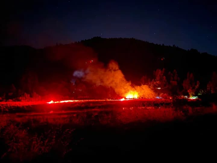
NWS Warns of Overnight Thunderstorms, Hail Along Humboldt and Del Norte Coasts
NWS Eureka warned of overnight thunderstorms and hail along the coast, a rare event in a region that sees less lightning than almost anywhere in the U.S.
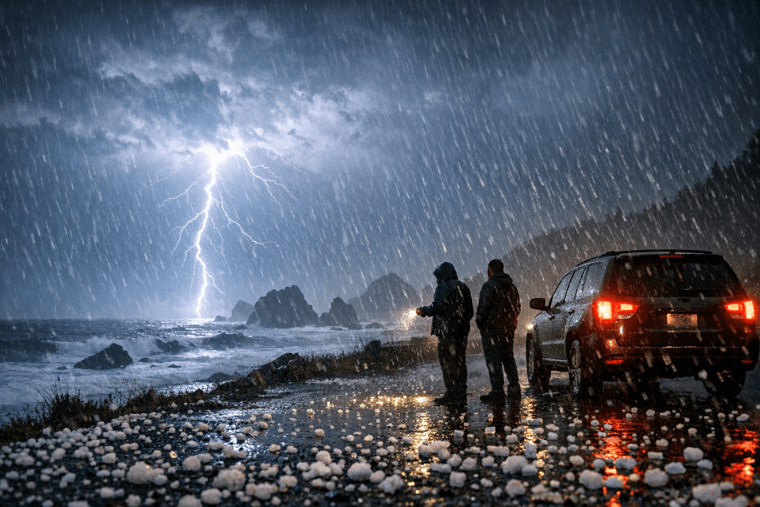
Small hail capable of glazing the Samoa Bridge and turning unlit stretches of Highway 101 into a skid hazard was forecast to fall across coastal Humboldt and Del Norte counties overnight Thursday, part of a rare thunderstorm event the National Weather Service office in Eureka flagged with an advisory running from 7 p.m. to 5 a.m.
The ten-hour alert covered the full coastal zones of both counties and urged motorists to exercise caution on slick roads. The warning carried unusual weight by North Coast standards: coastal California ranks among the lowest-lightning regions in the United States, where cold Pacific water sustains a shallow, stable marine layer that ordinarily suppresses the convective updrafts required to build a thunderstorm. When atmospheric instability punches through that marine cap, as the NWS forecast for Thursday night, it can catch drivers off guard on roads engineered for steady rain, not hailstone accumulation.
The highest-risk corridors were the Highway 101 coastal stretch between Crescent City and Eureka and Highway 36 east of Fortuna, where Caltrans District 1 was already managing a slide response near Grizzly Creek Redwoods State Park and active bridge work at Butte Creek Bridge. Hail accumulation on asphalt reduces tire friction sharply and without visual warning; the hazard compounds on elevated deck surfaces. The Samoa Bridge on Highway 255, which spans Humboldt Bay with no terrain windbreak, was among the most exposed crossings as west winds of 10 to 15 mph with gusts reaching 25 mph were expected through the overnight hours.
Anyone on the water was advised to stay in port. Lightning is the primary fatal hazard during marine thunderstorms, and neither Humboldt Bay nor the open Del Norte coast near Crescent City Harbor offers meaningful shelter from a fast-moving cell.
Commuters heading out before 5 a.m. were urged to check Caltrans QuickMap for real-time closures and delays before driving. Humboldt County Public Works also offers text and email road-condition alerts through a sign-up portal on the county's official website, covering both state and county-maintained roads. Overnight temperatures were forecast to bottom out near 43 degrees, raising the possibility of refreezing on bridge decks and elevated highway sections in the pre-dawn hours.
The advisory covered coastal zones only. Interior corridors, including the Highway 36 corridor east of the redwood belt and the Trinity River drainage, fell outside the NWS coastal thunderstorm alert, though Caltrans had active work zones on those routes regardless of the storm.
This article was produced by Prism’s automated news system from verified source data, official records, and press releases, then run through automated quality and moderation checks before publishing. The system is built and supervised by the people who set the standards it runs under. Read our full AI policy.
Did this article answer your question?