PG&E helicopters to inspect Humboldt power lines for wildfire risk
PG&E helicopters have been scanning Humboldt lines from Eureka to Myers Flat with LiDAR and high-resolution cameras, looking for brush and equipment that could fuel fires.

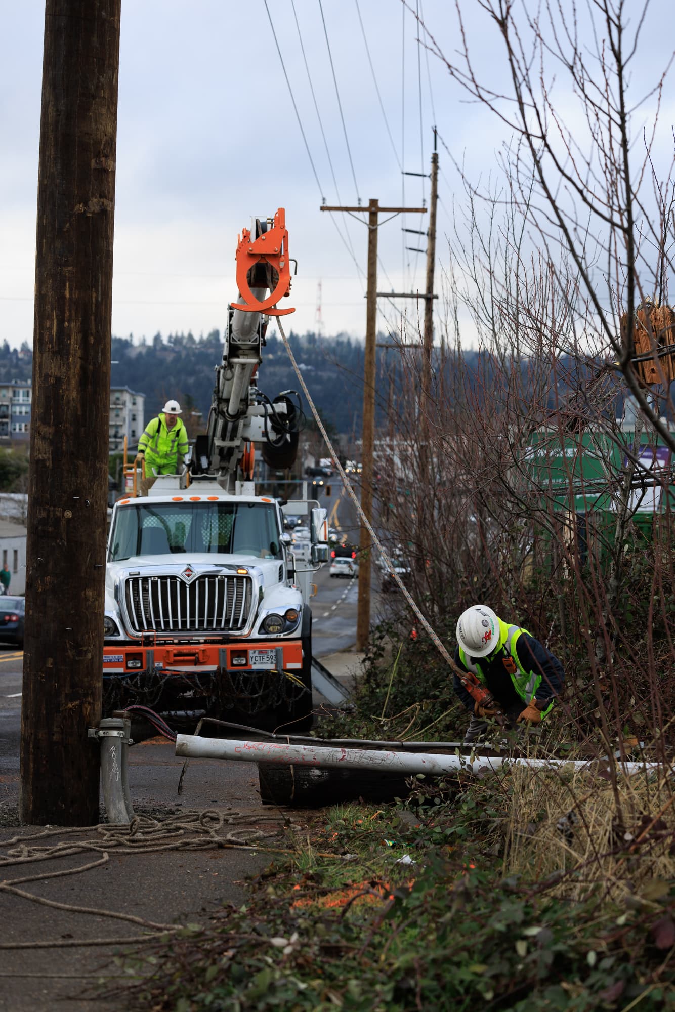
Low-flying helicopters have been tracing PG&E’s electric distribution lines across Humboldt County, from Eureka and Arcata to Fortuna, Hoopa, Garberville and Myers Flat, in a month-long sweep meant to catch wildfire hazards before summer heat raises the stakes.
The flights began in late April and are expected to continue through late May in both Humboldt and Lake counties. PG&E says the aircraft are fitted with LiDAR sensors and high-resolution imaging that let crews inspect power lines, poles, other equipment and nearby vegetation from the air.
PG&E’s earlier helicopter guidance says the aircraft typically fly about 500 feet above the ground and no lower than 200 feet, generally on weekdays between 8 a.m. and 5 p.m., weather permitting. In some spots, the helicopters may hover for about 10 minutes while crews collect detail on a problem area.
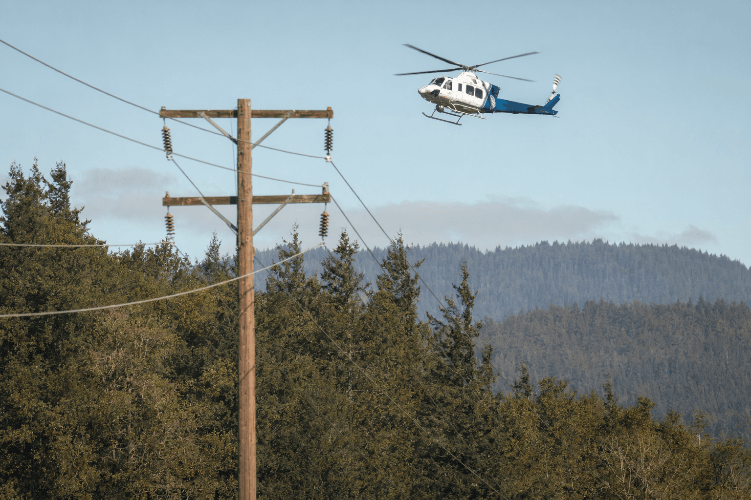
The company says the surveys are aimed at spotting where trees, brush or other vegetation could contact electric infrastructure and spark a fire. The data also feed machine-learning risk models that PG&E says are designed to predict where vegetation and power lines could combine to create the highest ignition threat.
The helicopter work is one piece of a larger wildfire program that PG&E says now blends monitoring, operational mitigations, system resilience measures and community support. In its 2026-2028 wildfire mitigation plan, the utility says it plans to underground 1,077 miles of power lines between 2026 and 2028, building on protections it says have been in place since 2019.
PG&E also says no major wildfires resulted from its equipment in 2023 and 2024, a statistic the company points to as evidence that the layered approach is working. Even so, the central question for Humboldt remains what happens after the scans identify trouble spots: whether PG&E will order vegetation trimming, schedule reliability upgrades or carry out temporary work that affects customers along the inspected corridors.
That matters in a county where wildfire is not an abstract risk. Humboldt County’s own preparedness materials describe wildfires as fast-moving events that can threaten communities, wildlife and air quality, which helps explain why a helicopter overhead can feel more like a warning sign than routine maintenance. In this case, though, the aircraft are scanning only utility assets and the vegetation around them, part of a targeted effort to reduce ignition risk before it turns into a local emergency.
This article was produced by Prism’s automated news system from verified source data, official records, and press releases, then run through automated quality and moderation checks before publishing. The system is built and supervised by the people who set the standards it runs under. Read our full AI policy.
Did this article answer your question?