Smoke Near Arcata Caused by Fickle Hill Prescribed Burn, HCPBA Says
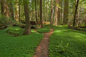
Smoke from a small prescribed burn on Fickle Hill was visible near Arcata and Eureka; the roughly 1-acre burn aimed to improve forest health and habitat.

Smoke from a controlled broadcast burn on Fickle Hill moved into view across Arcata and Eureka after the Humboldt County Prescribed Burn Association assisted a local landowner with the operation. The association said the project involved "around 1 acre of mixed redwood forest" and described the work as intended to "improve forest health, promote biodiversity, and generate quality habitat."
The burn was scheduled for Saturday, Feb. 7, 2026. In its public notice the Humboldt County Prescribed Burn Association framed the activity as a small, planned treatment carried out by volunteers and professionals working together. The organization said, "All of our burns are carefully conducted by a diverse mix of community members, prescribed fire practitioners, and fire professionals in accordance with CAL FIRE and North Coast Unified Air Quality Management District regulations."
The association cautioned that operations can shift. "All plans and dates are subject to change or cancellation depending on weather conditions, resource availability, air quality, regional wildfire activity, and other factors," the release stated. The notice also warned residents that "Smoke may be visible from Eureka and Arcata," though it did not include air quality measurements, specific ignition times, parcel coordinates, permit numbers, or a staffing list.
The Fickle Hill burn is small compared with some federal projects, but it fits a broader regional trend of using prescribed fire as a fuel-reduction and habitat-restoration tool. Molly Brown, manager of the BLM Arcata Field Office, said of those programs, "These carefully managed, low intensity fires are designed to reduce wildfire danger by removing fuels, and to improve forest health and promote diverse grassland ecology." The Bureau of Land Management has described larger planned operations in the region, noting that "Prescribed fire operations up to 100 acres along Prosper Ridge Road in the King Range National Conservation Area are scheduled for this fall."
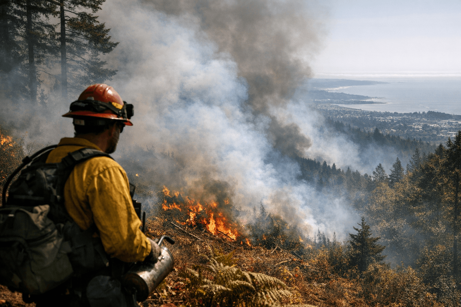
For local residents, the practical impact was short-term visibility and the familiar trade-off between smoke and long-term wildfire risk reduction. The HCPBA release included a photo captioned "Good fire!" that accompanied its announcement. Officials emphasized adherence to state and regional regulatory standards, but the public release left gaps that matter for oversight and community trust: exact permit information, the identity or contact for the landowner involved, and any pre-burn air quality modeling were not provided.
If you want agency follow-up or more detail, the Bureau of Land Management Arcata Field Office can be reached at 707-825-2300 and the BLM King Range Project Office at 707-986-5400. Expect additional prescribed burns in the region as agencies pursue fuel reduction and habitat objectives; residents should watch official advisories from CAL FIRE and the North Coast Unified Air Quality Management District for smoke and air-quality updates as operations proceed.
This article was produced by Prism’s automated news system from verified source data, official records, and press releases, then run through automated quality and moderation checks before publishing. The system is built and supervised by the people who set the standards it runs under. Read our full AI policy.
Did this article answer your question?