Iron County Heritage Trail links 14 sites across 36-mile loop
The Iron County Heritage Trail packs 14 sites into one 36-mile loop, giving residents and weekend visitors a one-day way to read the county’s mining, civic, and recreation history.
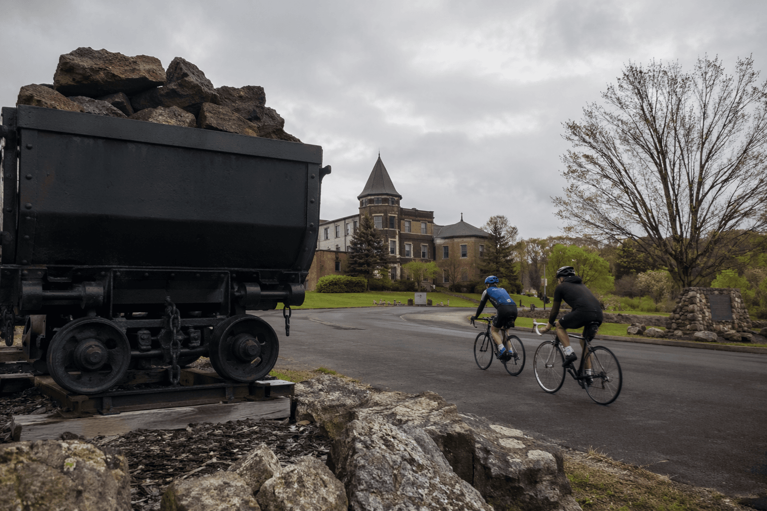
Iron County’s best countywide primer is a 36-mile loop that threads 14 heritage stops together on U.S. 2 between Iron River and Crystal Falls, near the Wisconsin border. The route works as a single-day scenic drive, but it also functions like a self-guided history lesson, linking mine sites, civic buildings, Native heritage places, parkland, and old transportation corridors into one readable map of how the county grew.
A loop that explains the county
The Iron County Heritage Trail is identified as a Michigan State Byway, designated in 1999, and its value is in the way it ties together the county’s separate chapters instead of isolating them. Iron County was established in 1885, and its 2020 Census population of 11,631 helps explain why the trail matters as a county identity project as much as a visitor route. In one drive, you move from ore and logging to courts, museums, roadside parks, and recreation areas without leaving the same county story behind.
The route runs west of Iron River toward Crystal Falls and follows the broader U.S. 2 corridor close to the Wisconsin line. That geography makes it practical for residents and easy for weekend visitors already moving across the western Upper Peninsula. The trail’s 14 named stops are spread across the county so the route feels like a loop through lived history, not a string of disconnected attractions.
The museum anchor at Caspian
The clearest starting point is the Iron County Heritage Museum in Caspian, where the county’s industrial and cultural past is laid out on nearly 10 acres. The museum complex includes 26 buildings and more than 100 major exhibits, and museum material says the Iron County Historical and Museum Society was organized in 1962 before the museum opened in 1968 on the grounds of the former Caspian Mine.
That mine closed in 1937, and the site still carries the physical imprint of the county’s extractive past. The museum says the flooded shaft beneath the headframe is 539 feet deep, a detail that turns the site into more than a display ground. It is a working reminder of how deeply mining shaped the settlement pattern around Caspian and the rest of the county. The museum also describes itself as one of the largest outdoor museum complexes in the Upper Peninsula and as the Log Cabin Capital of Michigan, which gives the trail one especially strong, easy-to-find anchor for a first stop.
Civic Iron County in Crystal Falls and Alpha
Crystal Falls gives the loop its civic center of gravity. The Iron County Courthouse, the Harbour House Museum, and nearby heritage stops show how government, preservation, and local memory sit side by side in the county seat. That mix matters because the trail is not only about old industry, it is also about the institutions that took root after the mines and rail lines started drawing permanent communities.
Alpha adds another layer. The Alpha Circle Historic District was established in 1914, and local trail materials describe the circle as an early example of traffic-circle planning built around a former company mining town. It is one of the route’s best stops for readers who want to see how engineering, company-era development, and local government planning intersected in a small Upper Peninsula settlement. Alpha Circle is especially useful for drivers because it translates the trail’s broader theme into something visible from the road.
Native heritage and the county’s deeper timeline
The trail also reaches beyond the mining era. Pentoga Park Indian Burial Grounds and Mile Post Zero and Treaty Tree place Native history directly into the same loop as the county’s later industrial and civic landmarks. That combination keeps the route from reading like a simple heritage drive about one economic era; it shows that the county’s landscape carries older meanings and long continuity.
Mansfield Location and Pioneer Church and the Amasa Museum add the human scale of settlement history, where church, townsite, and museum preservation help explain how communities took shape in the shadow of the region’s resource economy. These stops are part of what makes the route useful as a local reference point. They show how Iron County’s towns were built from the same mix of faith, family, labor, and adaptation.
Roadside parks, CCC-era conservation, and the modern outdoors
The trail’s strongest scenery-and-access stops are the ones that blend history with easy public use. Larson Park stands out because brochure material says it was established in 1919 as the first roadside picnic site in Michigan and perhaps in the United States. That claim gives the stop unusual weight in the trail’s timeline, linking the rise of automobile travel to the county’s early role in visitor use.
Bewabic State Park adds a New Deal-era conservation layer through its CCC-era buildings, while Fortune Pond, Lake Ottawa Recreation Area and Campground, and Camp Gibbs Recreation Area show how the trail connects heritage to the outdoor places people still use today. The Apple Blossom Trail is another important link in that chain: it is a paved non-motorized path along the Iron River corridor that once carried rail lines hauling thousands of tons of iron ore. Few trail stops make the county’s shift from extraction to recreation more visible in a single stretch.

Taken together, these sites let the loop work in three ways. A quick half-day run can focus on the museum, Alpha, and Crystal Falls. A full-day drive can add the parks and trail corridors. A deeper two-day visit can slow down enough to treat the loop as a countywide field guide rather than a drive-by.
What is actually being preserved
The trail is not a passive collection of signs. The Iron County Heritage Trail brochure says Friends of the Heritage Trail, a nonprofit organization, coordinates site maintenance and development, which is the local stewardship structure keeping the route active. That matters because heritage routes often fade when no one handles the physical upkeep or the connective tissue between sites.
The trail’s preservation logic is visible in the mix of locations it protects: mine sites, courthouse architecture, a burial ground, a historic town circle, and recreation areas with older infrastructure. It is also visible in the museum’s scale and longevity, with its six themed complexes, 26 buildings, and research center and archives. In practical terms, the loop works because local groups have treated the county’s history as a system rather than a set of isolated landmarks.
A usable one-day route
For a one-day Iron County introduction, the most efficient pattern is to start in Caspian, continue to Alpha and Crystal Falls, then widen the loop toward the outdoor stops west of Iron River. That gives you the clearest sequence of mining, government, town planning, and recreation without doubling back too much.
The sites that most clearly combine history, scenery, and easy access are the Iron County Heritage Museum, Alpha Circle Historic District, the Iron County Courthouse area, Larson Park, Bewabic State Park, and the Apple Blossom Trail. Together they show why the Iron County Heritage Trail remains one of the county’s most practical public history assets: it turns the landscape itself into a guide to how Iron County was built, and how local people are still keeping that story in view.
This article was produced by Prism’s automated news system from verified source data, official records, and press releases, then run through automated quality and moderation checks before publishing. The system is built and supervised by the people who set the standards it runs under. Read our full AI policy.
Did this article answer your question?


