Clinton ferry terminal is Whidbey Island’s southern gateway
Clinton is Whidbey Island’s southern gate, where ferry delays can ripple into school runs, medical trips, work shifts and emergency travel.
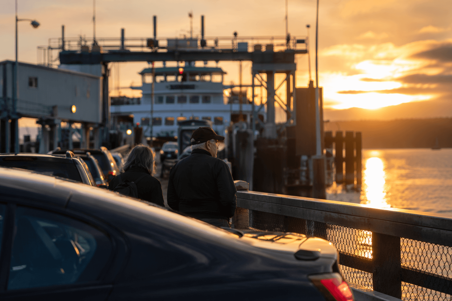
The dock at the south end of Whidbey Island is where Island County feels disruption first. It keeps daily life moving between home, work, appointments and the mainland. When loading backs up here, the delay reaches commuters, walk-on passengers, school travel and anyone trying to make a time-sensitive trip.
Where the terminal sits and how traffic reaches it
The terminal is at 64 South Ferrydock Road in Clinton, with Highway 20 feeding directly into Highway 525 South and then to the dock. That alignment makes the terminal easy to find, but it also concentrates traffic into a narrow corridor where a small mistake can slow the line for everyone behind it.
Drop-offs and pick-ups happen before the toll booth on Ferry Dock Road, which matters for drivers trying to avoid the staging lane and for riders who are not parking at all. If you are meeting someone, arranging a ride, or getting picked up, the safest place is before the toll area, not in the active loading queue.
Parking, pickup and the free bus connection
Parking around the terminal is limited, and the system works only if travelers understand the choices. Parking options include one small lot to the right of the tollbooths, a free Park-n-Ride lot on Deer Lake Road behind the post office about half a mile north off Highway 525, a pay lot behind Simmons Garage about half a mile from the tollbooths, and additional paid daily and monthly parking a half-block from the terminal.
Clinton functions as a transfer point, with ferry service, parking and bus access layered into one small community. Island Transit, the zero-fare bus system serving Whidbey and Camano Islands, is part of that network, and WSDOT’s terminal pages provide ferry cameras, approximate drive-up spaces, parking details and ADA information so travelers can check conditions before they leave home.
What travelers pay, and where the route splits the fare
The Mukilteo-Clinton route collects fares in two places. Passenger and vehicle-driver fares are collected at Mukilteo, while vehicle-driver-only fares are collected at Clinton.
Adult walk-on fares, youth no-charge status, bicycle surcharges and vehicle fares vary by length.
Low tides and large vehicles can change the day
The Mukilteo-Clinton route is sensitive to tides. Low tides can create steep loading ramp angles that are hard on trucks, RVs with low ground clearance and vehicles towing trailers. Oversized and overweight vehicles can also face limits tied to vessel clearance, tides, ramp angles and peak traffic times.
A crossing that works smoothly at one hour can become a different operation later in the day, especially for drivers with large or low vehicles when tide and traffic line up against each other.
A route that carries more than local traffic
The terminal sits on one of the busiest routes in the system. WSDOT says the Mukilteo-Clinton route carried 3.7 million riders in 2025, and Washington State Ferries carried 19.4 million riders in fiscal year 2025.
Regular passenger service began in 1911, and car ferry service followed in 1919. Before modern highway travel, the crossing linked South Whidbey to the mainland in a way that shaped where people lived, worked and traveled. The route remains a key vehicle connection on the island.
What changed in Mukilteo and what is next in Clinton
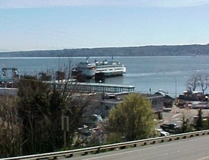
Mukilteo’s new ferry terminal opened on December 29, 2020, replacing an older facility and marking Washington State Ferries’ first new terminal in 40 years.
WSDOT is now planning the Clinton Terminal Passenger Overhead Loading Improvement project, a 2026-2029 effort backed by a $40 million funding figure. Planning began in early 2026, a pre-design study is targeted for early 2027, and construction is expected to begin in summer 2029. The project is intended to make boarding easier and safer, with a new walkway, a second-level passenger waiting area and an overhead loading structure under study.
A separate electrification effort is also tied to the terminal, with shoreside charging infrastructure planned for a new hybrid-electric vessel serving the route by around 2030.
Why Island Transit makes the terminal even more important
Island Transit’s Route 1 serves the Oak Harbor-Clinton Ferry corridor, turning the terminal into part of a wider zero-fare transit chain. Proposed 2026 service changes would run Route 1 every 30 minutes Monday through Friday between Harbor Station Transfer Center and the Clinton Ferry Terminal, tightening the connection between the bus network and the ferry dock.
For riders who are not driving, the ferry terminal links bus service, walk-on travel and the mainland crossing in one place. For drivers, it links parking, tide conditions and terminal capacity in the same few blocks.
This article was produced by Prism’s automated news system from verified source data, official records, and press releases, then run through automated quality and moderation checks before publishing. The system is built and supervised by the people who set the standards it runs under. Read our full AI policy.
Did this article answer your question?