Rain eases drought at Choke Canyon, lake still at 7.4%
Rain softened the ground at Choke Canyon, but the reservoir was still only about 7.5% full, keeping boating limits and summer water worries in place.
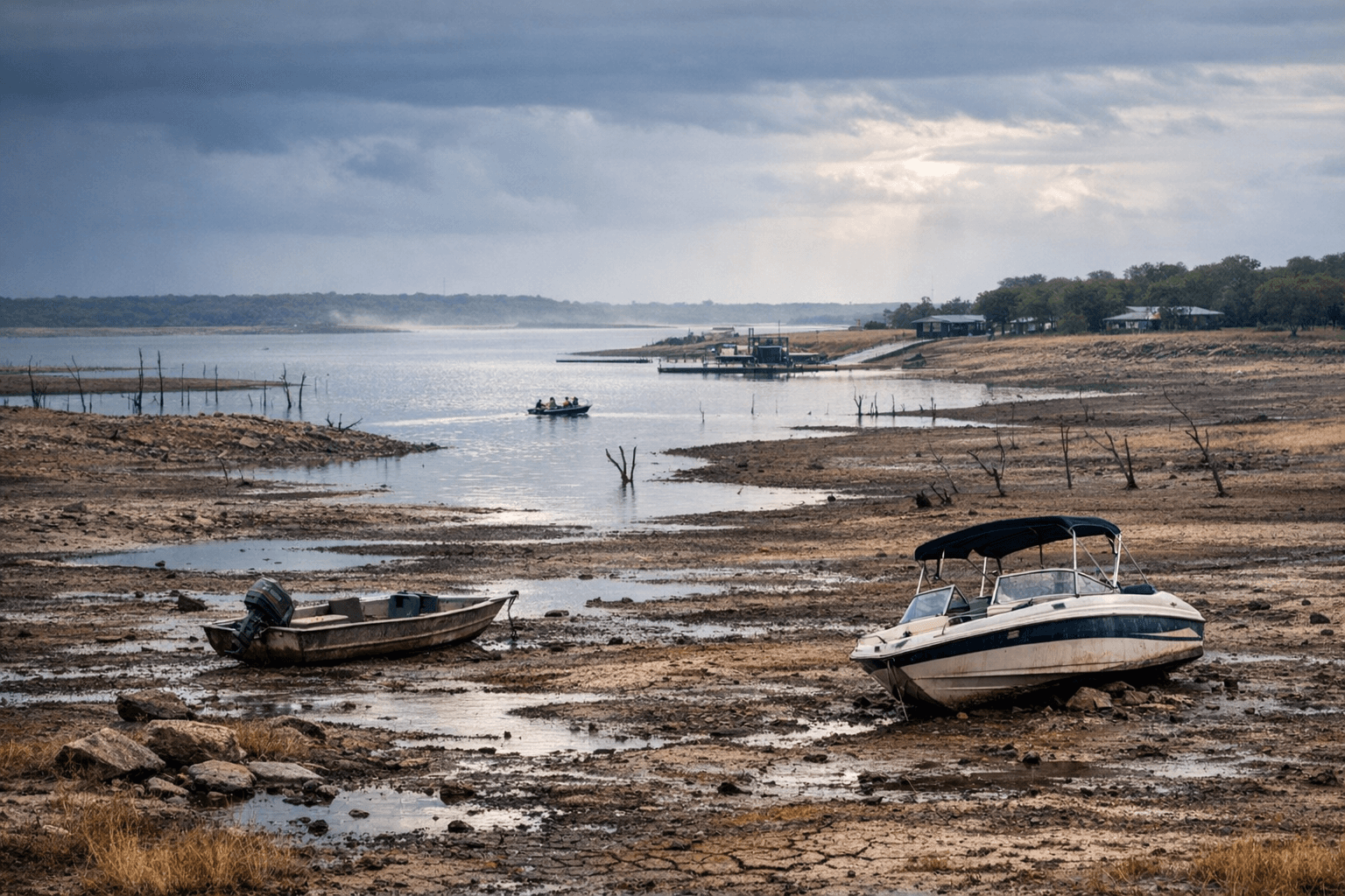
Rain brought a little relief to Choke Canyon State Park, but the numbers still tell a hard story: the reservoir remained only about 7.5% full on April 23, with 49,662 acre-feet of water and a mean level of 178.70 feet. For Jim Wells County and nearby communities watching the water system all spring, the brief soaking changed the landscape more than it changed the drought.
Park Superintendent Jose Uribe said the rain was much-needed and noted that wet ground can help future rainfall stay on the surface longer instead of vanishing into dry soil. Even so, he said the park still needs much, much more rain. That gap matters because Choke Canyon sits at the center of more than scenery. It is a water-supply reservoir and a recreation destination, and both roles are under pressure when levels fall this low.
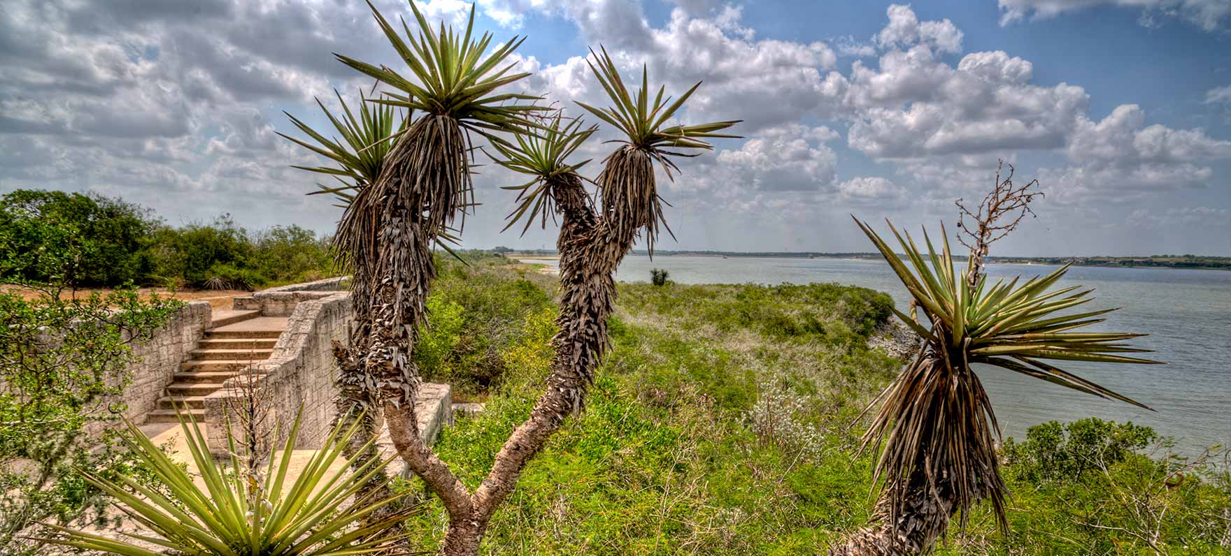
The Texas Parks and Wildlife Department says Choke Canyon Reservoir covers 25,989 acres on the Frio River in the Nueces River Basin, about 80 miles south of San Antonio. The agency describes it as a place for camping, picnicking, boating, swimming, shoreline fishing, hiking and wildlife watching, with habitat that supports South Texas brush country wildlife. But the same reservoir survey also notes a history of substantial water-level fluctuations, a reminder that low water is not an anomaly here but part of the system’s long-term volatility.
That volatility has already altered access. A TPWD park alert on June 25, 2025, said very low lake levels forced boat-ramp closures and recommended only kayaks or bank fishing. TPWD’s Feb. 25, 2026 fishing report showed Choke Canyon at 46% full and 40.62 feet below pool, with all boat ramps closed. The sharp drop since then shows how quickly conditions can tighten when the watershed stays dry.
The water story reaches beyond the park gates. KRIS reported last June that the watershed feeding Choke Canyon and Lake Corpus Christi lies northwest of Corpus Christi, including places such as Atascosa County and Calliham. The same report said Corpus Christi Water increased its draw from Lake Texana through the Mary Rhodes Pipeline from 55 million gallons per day to 70 million to ease pressure on the lakes.
That broader strain has reached local government, too. Alice city leaders extended a local disaster declaration on April 21, after first issuing it on April 14, and officials said a third well could help if the lakes continue to run dry. For residents, anglers and park visitors heading toward summer, the recent rain was welcome. It was not a turnaround.
This article was produced by Prism’s automated news system from verified source data, official records, and press releases, then run through automated quality and moderation checks before publishing. The system is built and supervised by the people who set the standards it runs under. Read our full AI policy.
Did this article answer your question?