High Surf and Wind Advisories Impact East-Facing Kauai Shores Through Tuesday
High surf and strong trade winds are impacting east-facing shores of Kauai through Tuesday; officials warn of dangerous breaking waves and powerful currents, urging people to avoid the water.
East- and southeast-facing shorelines of Kauai are under hazardous ocean conditions as strong trade winds push large surf into exposed coasts through Tuesday, with local authorities and the National Weather Service urging residents and visitors to stay off the water and away from the shoreline.
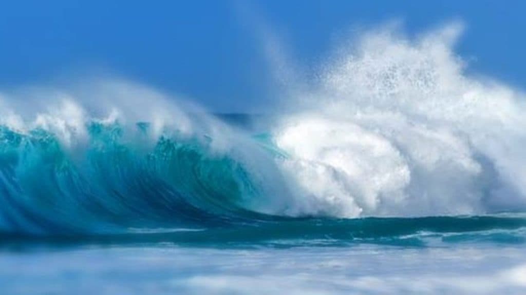
The Hawaii Emergency Management Agency issued a High Surf Advisory for east-facing shores of Kauai, Maui, Molokai, Oahu, and the Big Island in effect until 6 AM HST Tuesday. A Wind Advisory affects multiple islands including Kauai from 6 AM Sunday to 6 AM Monday. Maui County’s posted NWS product emphasized the severity, stating: "WHAT...Dangerously large breaking waves of 10 to 15 feet." The product further warned: "IMPACTS...High. Expect very strong breaking waves and powerful currents. Waves breaking in channel entrances may make navigating the channels dangerous," and instructed the public to "Stay away from the shoreline along the affected coasts."
National Weather Service forecasters in Honolulu, as reported locally, described the east Kauai forecast in slightly lower numerical terms: "Large breaking waves of 7 to 10 feet are forecast, rising to surf of 8 to 12 feet by late Sunday into Sunday night for eastern shores." Surf forecasting services show different conditions by exposure, SurfCaptain lists the north shore separately, saying, "The surf forecast is 4-7 ft and clean right now for North Shore Kauai," and its hour-by-hour tables show E/ESE winds in the mid-teens (for example, "6am | SURF 5-7 ft clean | WIND ESE 14mph | SWELL 4.7ft 14s NW"). NOAA products embedded in NWS discussion note that "Northeast winds 20 to 25 mph" and that east shore surf should rise above advisory thresholds as trades strengthen.
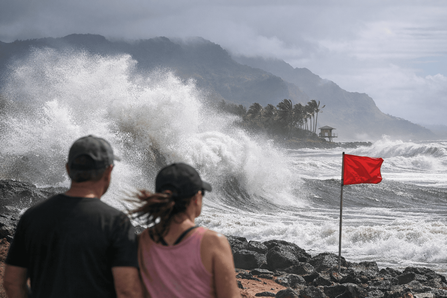
These mixed figures reflect how swell direction and wind combine to affect different orientations of the island: east-facing coasts are expected to see the largest breaking waves as an ENE swell and strong trades arrive, while north-facing and west-facing breaks can follow different patterns depending on other swells. Local lifeguards, ocean safety officials and emergency management agencies are the primary on-the-ground sources for beach closures and rescue response; officials advise that "Beach-goers, swimmers and surfers should heed all advice given by ocean safety officials and exercise caution when entering the water" and that "when in doubt, don’t go out."
For the latest guidance, head to the National Weather Service Honolulu forecast office website and local county emergency pages for up-to-date advisories, watches and warnings. Residents should avoid shoreline hazards, secure loose outdoor items exposed to strong trades, and expect the potential for advisories to be extended if winds remain strong through the middle of next week.
This article was produced by Prism’s automated news system from verified source data, official records, and press releases, then run through automated quality and moderation checks before publishing. The system is built and supervised by the people who set the standards it runs under. Read our full AI policy.
Did this article answer your question?