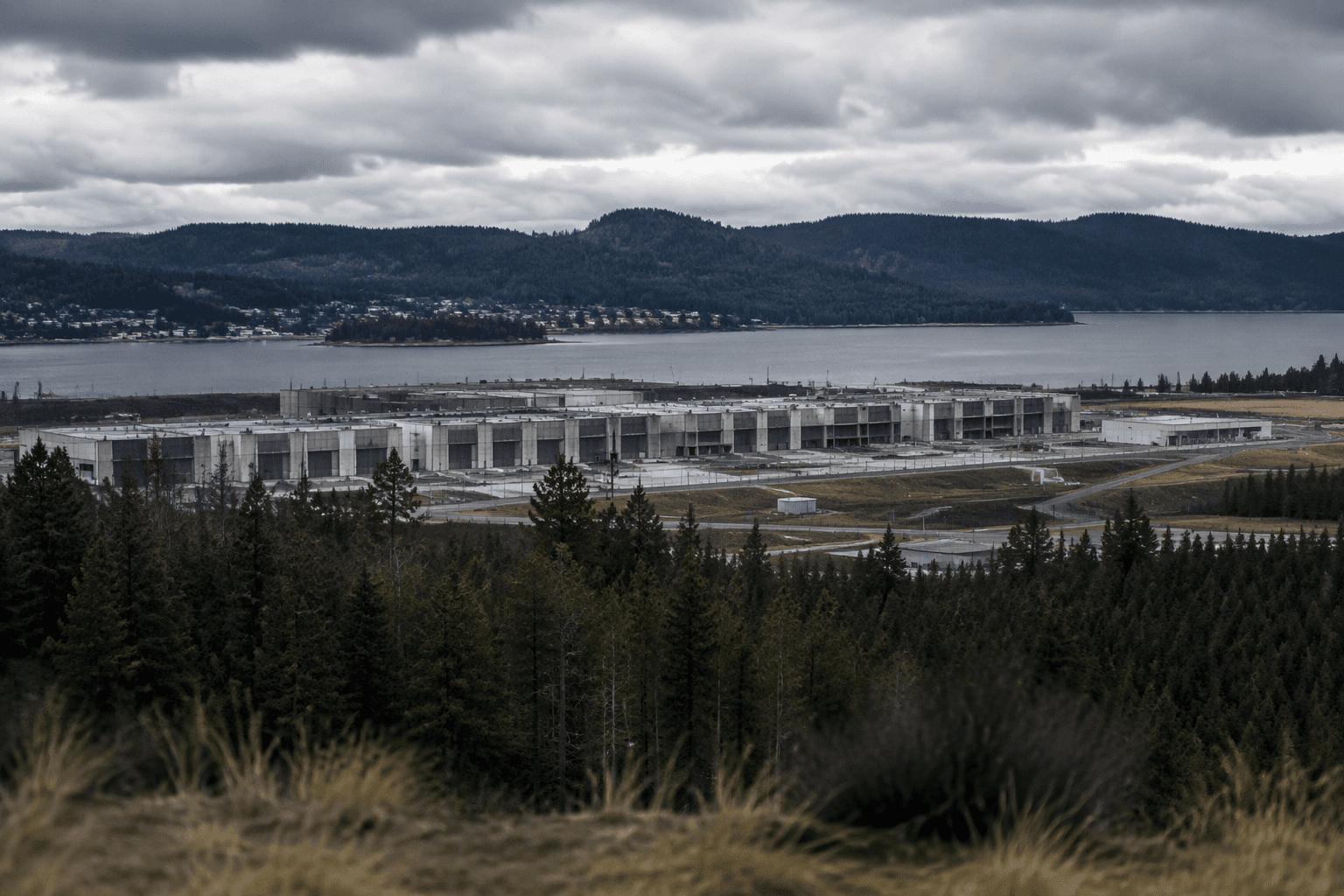
Former official warns Kootenai County faces greater wildfire risk
Spokane-area fires have already forced about 60,000 people out, and a former federal wildlife official says more building in Kootenai County could raise the stakes for Coeur d’Alene and Sandpoint.
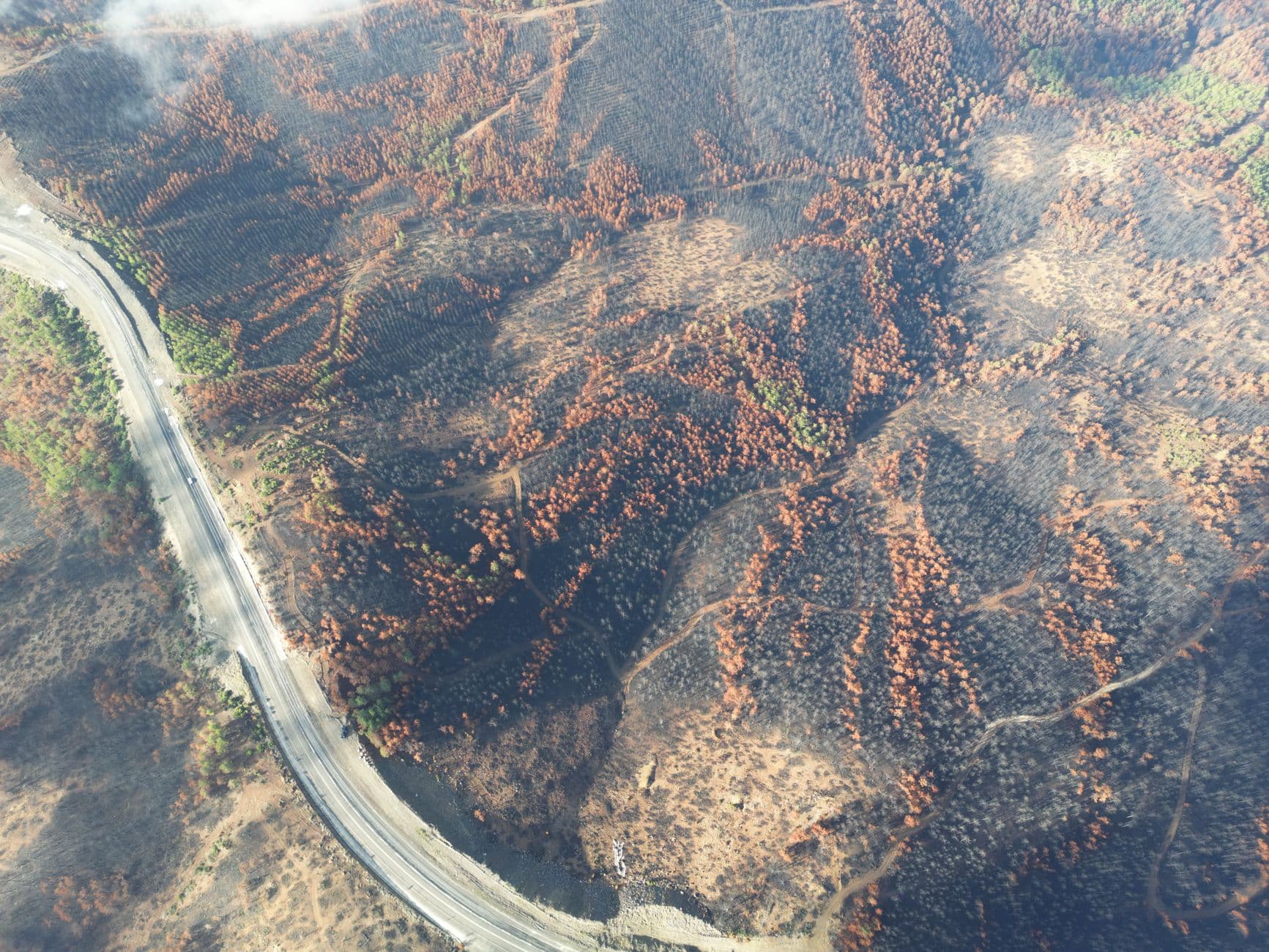
A former U.S. Fish and Wildlife Service official is warning that continued building in forested parts of Kootenai County could make the next fast-moving wildfire harder to escape, more expensive to insure against and more demanding to fight. The concern is not abstract: Spokane-area fires have already displaced about 60,000 people, with roughly 4,000 residences under evacuation notices and about 1,000 ordered out immediately.
Kootenai County’s own planning documents already flag the danger. The county’s Wildland Urban Interface Fire Mitigation Plan identifies wildfire planning in the wildland-urban interface as a countywide issue, and the county comprehensive plan says hazardous areas have not always been given necessary consideration. That plan warns that development placed or designed in the least suitable, most hazardous areas can create substantial costs to individuals, the public and the environment.
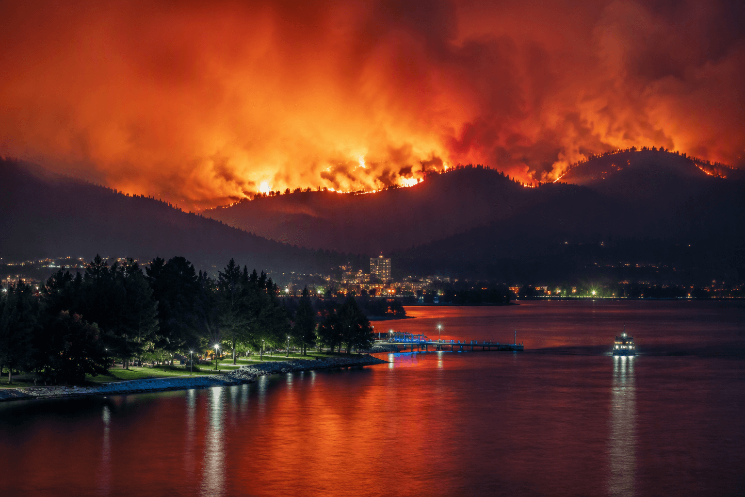
Those warnings carry added weight in a region where tribal and federal planning documents describe a landscape shaped by forests, valleys and water. The Coeur d’Alene Tribe’s Climate Impact Assessment, published in September 2023, said climate change was affecting the Coeur d’Alene landscape. In Bonners Ferry, the Kootenai National Wildlife Refuge’s conservation plan described the Kootenai River valley as a glacial valley with wetlands and floodplain forests, while the refuge’s fire management materials placed the area in a historically floodplain- and forest-rich setting.
The wider fire picture stretches well beyond one county line. The Upper Spokane Watershed Discovery Report, published in 2012, said the watershed covered 588 square miles across eastern Washington and northwestern Idaho and was heavily forested with mountains and valleys. That same kind of terrain is what makes regional fires so difficult to contain, especially when strong winds and dry fuels push flames across jurisdictions.
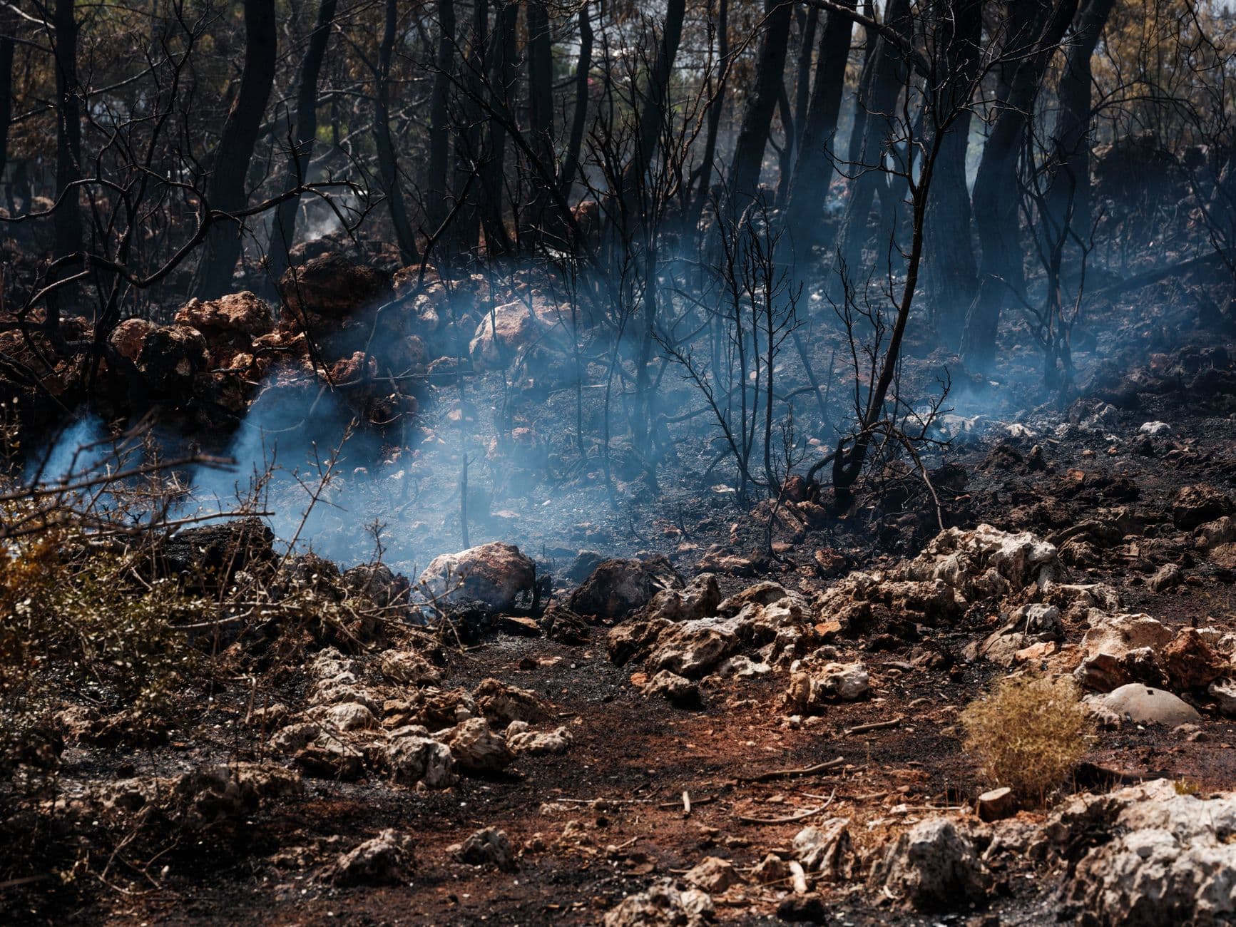
For Kootenai County, the question is no longer whether wildfire is part of the landscape. County and federal documents already say it is. The harder question is whether development in places like Coeur d’Alene and Sandpoint is moving faster than the planning meant to keep residents safe when the next fire season turns local forests into an evacuation zone.
This article was produced by Prism’s automated news system from verified source data, official records, and press releases, then run through automated quality and moderation checks before publishing. The system is built and supervised by the people who set the standards it runs under. Read our full AI policy.
Did this article answer your question?