Top Kootenai County Day Hikes and Essential Safety, Parking Tips
A practical guide to Kootenai County day hikes with safety, parking and seasonal tips so residents can plan safer, more equitable outdoor outings.

Kootenai County's trail network offers everything from short lakeside loops to exposed ridgelines, and understanding conditions, parking and safety matters for families, commuters and outdoor workers who rely on these public lands for exercise and respite.
Mineral Ridge Trail near Harrison is a 3.7-mile round trip well-graded loop with boardwalk sections and viewpoints over Lake Coeur d’Alene. It is family-friendly but has steep viewpoints and limited parking at the Harrison trailhead; arrive early to avoid weekend congestion. Fourth of July Trail in Coeur d’Alene offers 2–4 mile out-and-back options with several entry points and lookout spots above the city. The route can be rocky in places and is accessible from Tubbs Hill and nearby neighborhoods. Mineral Point and Blackwell Island connectors form short scenic loops that link urban trails with lakeshore access, suitable for short walks with children or dogs on leash. Schreiber Springs and segments of the Trail of the Coeur d’Alenes provide longer stretches for hikers and mountain bikers; pay attention to signage for multi-use rules and seasonal closures.
Seasonality affects safety and access. Winter brings icy patches and snow at higher elevations; traction devices such as microspikes are recommended for February and colder stretches. Shorter daylight means planning to finish hikes 60–90 minutes before sunset. Spring and early summer can leave trails muddy and prone to post-thaw maintenance; avoid creating new paths to reduce erosion. Summer is the busiest season - bring extra water and sun protection for exposed ridgelines. Fall delivers color and cooler temperatures but expect sudden weather changes.
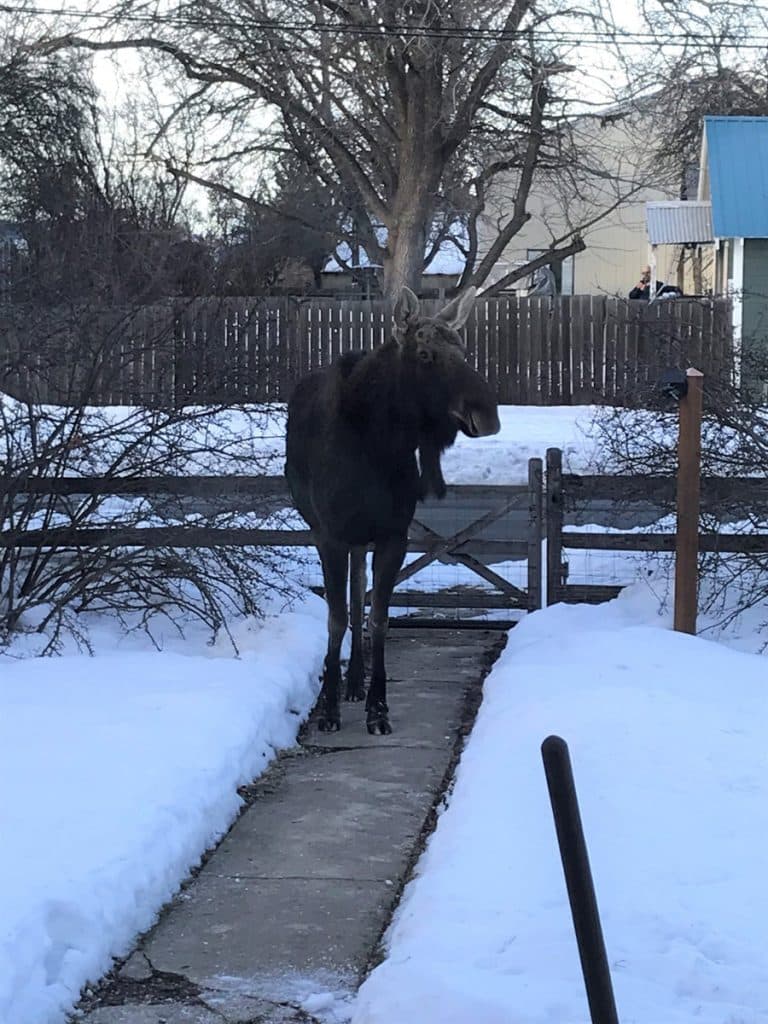
Basic preparedness reduces medical and rescue burdens on local services. Tell someone your route and expected return time if you hike alone and remember cell service is spotty on some trails. Carry at least 1 liter of water per person for short hikes, more for longer routes, plus snacks, a basic first-aid kit and a map or downloaded GPX file. Hypothermia risk exists in wet, cool conditions even when air temperatures are mild. Wildlife includes black bears and occasionally moose; make noise on blind corners, store food securely, and keep dogs under control.
Parking is a common barrier to access. Many county trailheads have small, sometimes unpaved lots and nearby street parking may be restricted; obey signage to avoid towing. For crowded spots such as Mineral Ridge and Tubbs Hill consider transit, rideshares or staggered arrival times to reduce congestion. Short accessible segments exist on boardwalks at Mineral Ridge, but most other trails have variable grades and surfaces that limit wheelchair access.
Kootenai County Parks & Waterways and city parks pages for Coeur d’Alene, Post Falls and Hayden provide the latest advisories, maps and parking details. Use local search and map apps to locate current trailhead parking and download offline maps where service is unreliable. Pack out trash, dispose of dog waste, and stay on designated paths to preserve access for neighbors and future visitors. Planning ahead and sharing space respectfully will keep Kootenai County trails open and safe for everyone.
Know something we missed? Have a correction or additional information?
Submit a Tip