Colorado River forecast research raises stakes for western Arizona water planning
Satellite-based forecasting could affect CRIT, Parker-area water users and La Paz County planning as Colorado River shortages and post-2026 rules tighten.

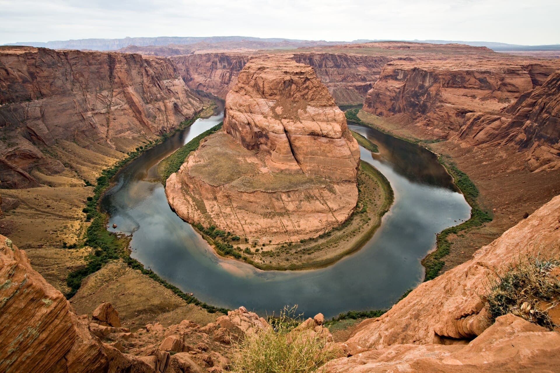
A new push to forecast the Colorado River more precisely could shape how much water reaches CRIT, Parker-area users and La Paz County planners as the basin heads into another hard year. The latest research links satellite data to river modeling, turning snow, soil moisture and streamflow measurements into tools that could matter in day-to-day water decisions from tribal operations to farm planning near Parker.
Arizona State University researchers are building the work with the Central Arizona Project, which has said the goal is to improve long-range scenario planning with NASA Earth Science Division support. CAP says ASU received a three-year, $1 million grant in 2022 for the effort, and the team is working with basin stakeholders through the Colorado River Basin Climate and Hydrology Work Group. For western Arizona, that matters because the forecast is no longer just an academic exercise. It feeds the same planning systems that influence deliveries, shortages and future growth.
The warning signs in the basin remain stark. The Arizona Department of Water Resources said snow accumulation above Lake Powell was just 2.5 inches on May 4, or 23% of the 30-year median for that date. By May 20, Colorado River system contents had fallen to 20.33 million acre-feet, down from 23.38 million acre-feet a year earlier. Lake Mead remained in Tier 1 shortage in 2026, a reminder that the river is still being managed under strain even before the next round of operating rules takes effect.
Those pressures are arriving alongside a broader policy scramble. The Bureau of Reclamation released its post-2026 draft Environmental Impact Statement on January 9, and the public comment period closed March 2 after more than 18,000 submissions. Under one option reported in that process, Arizona could face mandatory cuts as high as 58%, while Nevada could see reductions of up to 46%. The Colorado River states missed the Interior Department’s February 14 deadline to reach agreement, then Arizona, California and Nevada signed a memorandum of understanding on June 3 to explore interstate water exchanges.
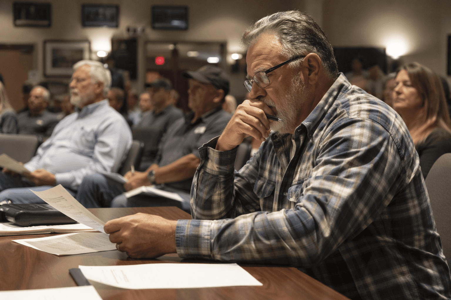
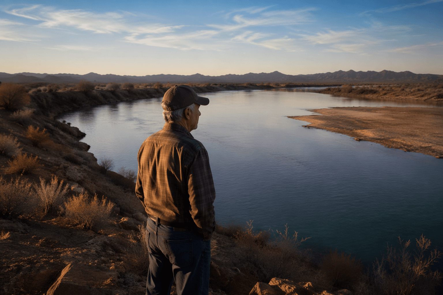
For La Paz County, the practical question is how much uncertainty local leaders can afford in irrigation, tribal water management and development planning along the Parker Strip. A June 1 analysis from the University of Colorado Boulder Getches-Wilkinson Center said another dry year could push the system dangerously close to run-of-the-river operations, while even a wet year would only offer temporary relief. Arizona already felt the impact of scarcity in 2023, when the first-ever declared Tier 2a shortage cut the state’s Colorado River supply by 592,000 acre-feet. The new forecasting work will not solve the river’s shortage, but it could decide how much warning western Arizona gets before the next cut arrives.
This article was produced by Prism’s automated news system from verified source data, official records, and press releases, then run through automated quality and moderation checks before publishing. The system is built and supervised by the people who set the standards it runs under. Read our full AI policy.
Know something we missed? Have a correction or additional information?
Submit a Tip