Ehrenberg, Named for German Engineer, Shaped La Paz County's River History
Hermann Ehrenberg was shot dead in 1866, months after surveying the Colorado River town that now bears his name and anchors La Paz County's western gateway.
Barry Goldwater once described Hermann Ehrenberg as "one of the greatest surveyors and map makers ever to visit the Western United States." The man himself never saw the Arizona town that carries his name. Ehrenberg, the small unincorporated community where Interstate 10 crosses from California into Arizona, was renamed in his honor in 1867, the year after he was shot dead along a California desert road at the age of 49. That founding story gives a place with a current population barely above 700 an outsized claim on La Paz County's history, and it repays attention before you pull off the highway.
A German Engineer on the Frontier
Hermann Ehrenberg was born in Germany on October 17, 1816, and arrived in North America as a young man carrying a talent for cartography and a restless ambition that took him far beyond any ordinary surveyor's career. As a teenager he joined the New Orleans Greys, a volunteer unit that fought in the Texas Revolution; he was one of the few survivors of the Goliad Massacre of 1836, escaping into the Texas brush while most of his fellow prisoners were executed. He went on to produce maps and geological surveys that informed early American understanding of the Southwest, and in the 1860s served as an Indian agent for the Mojave people on the Colorado River Reservation.
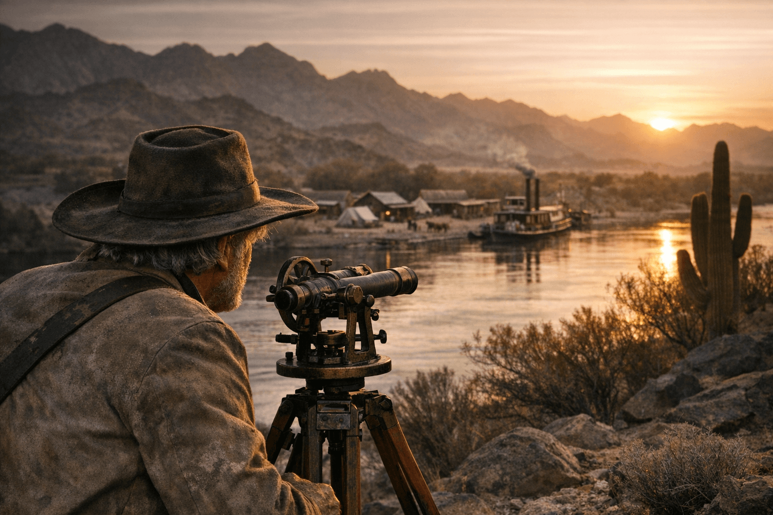
In 1863 Ehrenberg was hired to survey a new townsite along the Colorado River, approximately six miles from the existing settlement of La Paz. The site, then called Mineral City, sat near the Bradshaw Ferry landing and was positioned to serve the region's fast-growing gold and silver mining operations. On October 9, 1866, he was murdered at Dos Palmas, California, a stage stop along the Bradshaw Trail. Historical accounts record that his death was mourned across Arizona Territory and in scientific circles as far away as Europe. The following year, Mineral City was formally renamed Ehrenberg in his memory.
Steamboats, a Post Office, and a Brief Boom
The renamed town grew quickly during the Colorado River steamboat era. Paddle-wheel vessels moving freight and passengers between the Gulf of California and the interior mining districts made Ehrenberg a functioning river port through the mid-1870s. The post office opened on September 20, 1869, formalizing the community's role as a regional service hub for miners, traders, and settlers pushing into western Arizona.
That growth did not last. As railroads expanded across the Southwest and rewrote the economics of frontier freight, river commerce contracted sharply. Ehrenberg's post office closed in 1913, and the town settled into the long quiet that defines it today. The same river geography that made the town possible had been outpaced, first by iron rails and eventually by the upstream dams that brought the Colorado under federal management through the 20th century.
What's Left to See
The most tangible connection to 19th-century Ehrenberg is the Pioneer Cemetery, established between 1862 and 1869. The cemetery reflects the multicultural character of the Arizona frontier, with graves representing the diverse mix of prospectors, traders, and settlers who passed through or put down roots during the boom years. Remnants of adobe structures from the same era are also visible to the public, though both sites are fragile and deserve the same careful attention given to any irreplaceable cultural resource.
For researchers, the Arizona Memory Project holds historic photographs and documents from the Colorado River era, and county archives in Parker provide additional primary source material. Local chambers and Colorado River historical groups can supply maps and interpretive context for anyone who wants more than a roadside stop delivers.
The Gateway Today
Ehrenberg's 2020 census population was 763, and the community occupies 12.1 square miles on the Arizona bank of the Colorado, at the southern end of the Parker Valley. Interstate 10 runs directly through, connecting eastward to Phoenix 145 miles away and westward to Indio, California, roughly 100 miles in the other direction. Blythe, California sits just across the river, making a cross-border side trip practical for anyone already in the area.
The town's present-day economy leans on what its geography has always supplied: water and passage. The Colorado River draws boaters, anglers, and winter visitors who fill the Parker and Ehrenberg corridors each season. That recreation economy is a direct descendant of the river-dependent commerce that brought Hermann Ehrenberg here in 1863, even if the currency has shifted from silver ore to campsite fees.
Planning a Visit: Practical Tips
Services in Ehrenberg are limited, and the desert does not forgive under-preparation. A few practical points worth noting before you head out:
- Fuel, water, and shade are scarce compared with larger towns; stock up before leaving the interstate corridor.
- Check river ramp and launch conditions before heading out, as water levels and access points shift seasonally.
- The Pioneer Cemetery and adobe remnants are accessible but fragile; treat them as the irreplaceable cultural sites they are.
- Blythe offers a fuller range of services, including groceries and restaurants, within minutes of the I-10 crossing.
- For deeper research, the Arizona Memory Project and Parker's county archives are the most substantive sources for historical photographs and primary documents.
Preservation and Governance
Land management near the Colorado River in this corridor involves multiple overlapping jurisdictions: the Bureau of Land Management and Bureau of Reclamation at the federal level, tribal authorities, the state of Arizona, and La Paz County itself. Preservation advocates consistently emphasize careful stewardship, particularly as development and recreational pressure on river-adjacent land intensifies. Ehrenberg's surviving structures and cemetery sit within that contested landscape, and their long-term survival depends on coordinated attention from every party with a role in managing the river corridor.
For a community of fewer than 800 residents, Ehrenberg carries a disproportionate share of La Paz County's institutional memory. The German engineer who mapped the site in 1863 determined where the county's western gateway to California would stand, and more than 160 years later, the interstate still crosses the Colorado at virtually the point he surveyed.
This article was produced by Prism’s automated news system from verified source data, official records, and press releases, then run through automated quality and moderation checks before publishing. The system is built and supervised by the people who set the standards it runs under. Read our full AI policy.
Did this article answer your question?