La Paz County’s river corridor helped supply early Arizona Territory
Ehrenberg and Hardyville fed Arizona Territory with river freight long before highways did. Their traces still mark La Paz County, where cross-border traffic, road wear, and commerce still run through the same corridor.

If you drive through Ehrenberg or across La Paz County today, you are following a route that once kept Arizona Territory supplied. The Colorado River corridor that now carries trucks, winter traffic, and cross-state commerce began as a freight system for Prescott and Fort Whipple, and the old road network still explains why this stretch of desert remains Arizona’s western gateway.
From river landing to territorial lifeline
Arizona Territory was created in 1863, and Prescott became the territorial capital in 1864 near Fort Whipple. To reach that new center, supplies moved over two freight roads from the Colorado River, each about 150 miles long, across rough, unsettled country. Arizona State Parks & Trails identifies the Ehrenberg and Hardyville roads as the main supply route to Prescott and Fort Whipple, serving both military and civilian needs.
That freight network connected more than a handful of settlements. Goods came up the Gulf of California from San Francisco and Los Angeles, then moved upstream by paddle steamer to river ports such as La Paz, Ehrenberg, and Hardyville. From there, wagons and teams carried the load inland, turning the river edge of La Paz County into a logistics funnel for early Arizona.
How the roads actually moved freight
The corridor was not a simple wagon track. Freight wagons were sometimes linked four in tandem, pulled by mule teams of four to 12 pairs, with oxen used on some hauls, and the wagons were reinforced with iron tires. The roads crossed unsettled Indian Country and were built as toll roads, which shows how expensive, difficult, and strategically important the route was for the territory’s supply chain.
Sharlot Hall Museum’s account of the Ehrenberg Toll Road adds a key local link: Ehrenberg Road was built in 1865 and ran northeast to Camp Date Creek, Skull Valley, and American Ranch stage station, where it intersected with Hardyville Road. That made the corridor a combined military and civilian artery, with travelers moving by foot, horseback, wagon, and stagecoach toward the Prescott area. In modern terms, it was the territorial version of a trunk line, carrying food, tools, mail, people, and freight into the interior.
Hardyville, the river port that kept the line open
Hardyville sits at the center of that story. The town was established in March 1864 and served as a port, warehouse location, ferry crossing, and freight depot. From 1864 to 1883, steamboats made regular trips up the Colorado River and stopped at Hardyville to deliver supplies and carry out ore for processing and sale.
William Harrison Hardy’s own movements show how quickly the river frontier was changing. He crossed the Colorado River near Fort Mohave on January 20, 1864, when a company of California Volunteers under Charles Atchison was stationed there, and his name later became tied to the settlement’s early development. Hardyville was never just a dot on a map; it was a working node in a river-and-road system that linked mining, military transport, and trade.
Ehrenberg, Mineral City, and the men behind the name
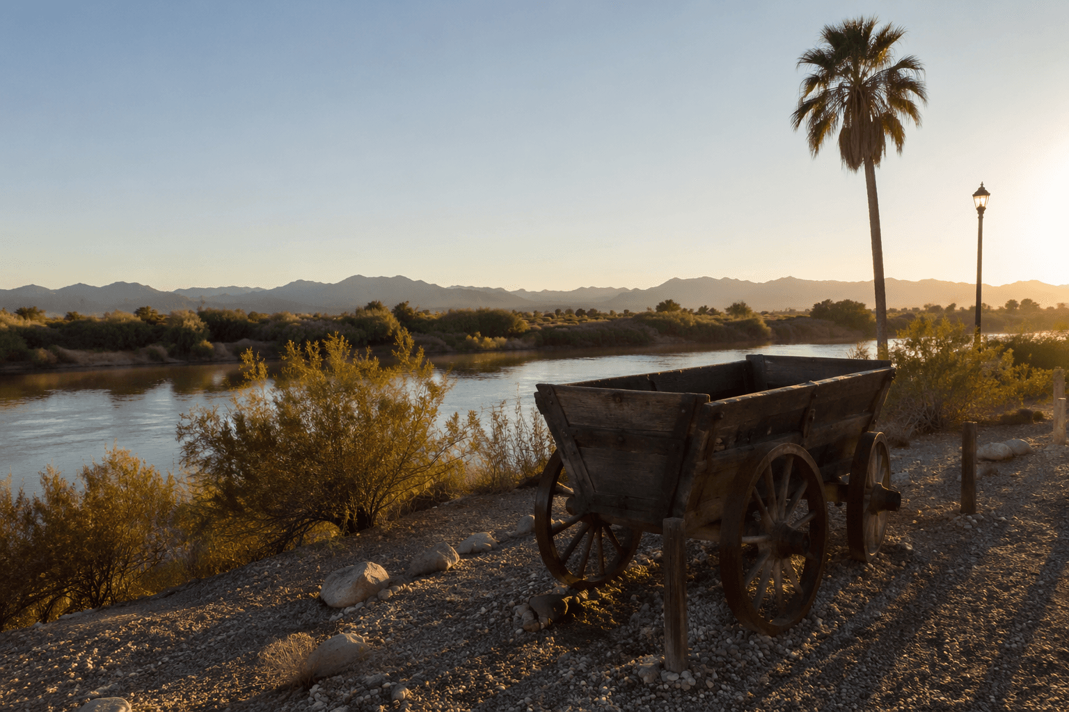
Ehrenberg gives the corridor its other enduring name. Hermann Ehrenberg, a Prussian-born surveyor and mining engineer, surveyed the townsite at Bradshaw Ferry landing in 1863, and the settlement was originally called Mineral City. The first camp was small, just a few tents and crude huts, but it existed for a practical reason: to support mining activity and river traffic.
That origin matters because it shows how closely the river economy and settlement growth were tied together. Ehrenberg was shot dead in 1866, a reminder that frontier development in this part of Arizona was fast, uncertain, and often violent. The town’s name survives, but its deeper role was as one of the ports that made the territorial freight corridor possible.
What still survives in the landscape
The old roads have not vanished completely. Arizona State Parks & Trails says traces still remain in remote areas as ruts, swales, and occasional rocks scarred by iron from wagon tires. Those marks are more than relics; they are physical evidence of the volume of traffic that once crossed this terrain and of the engineering required to keep a territorial supply line moving.
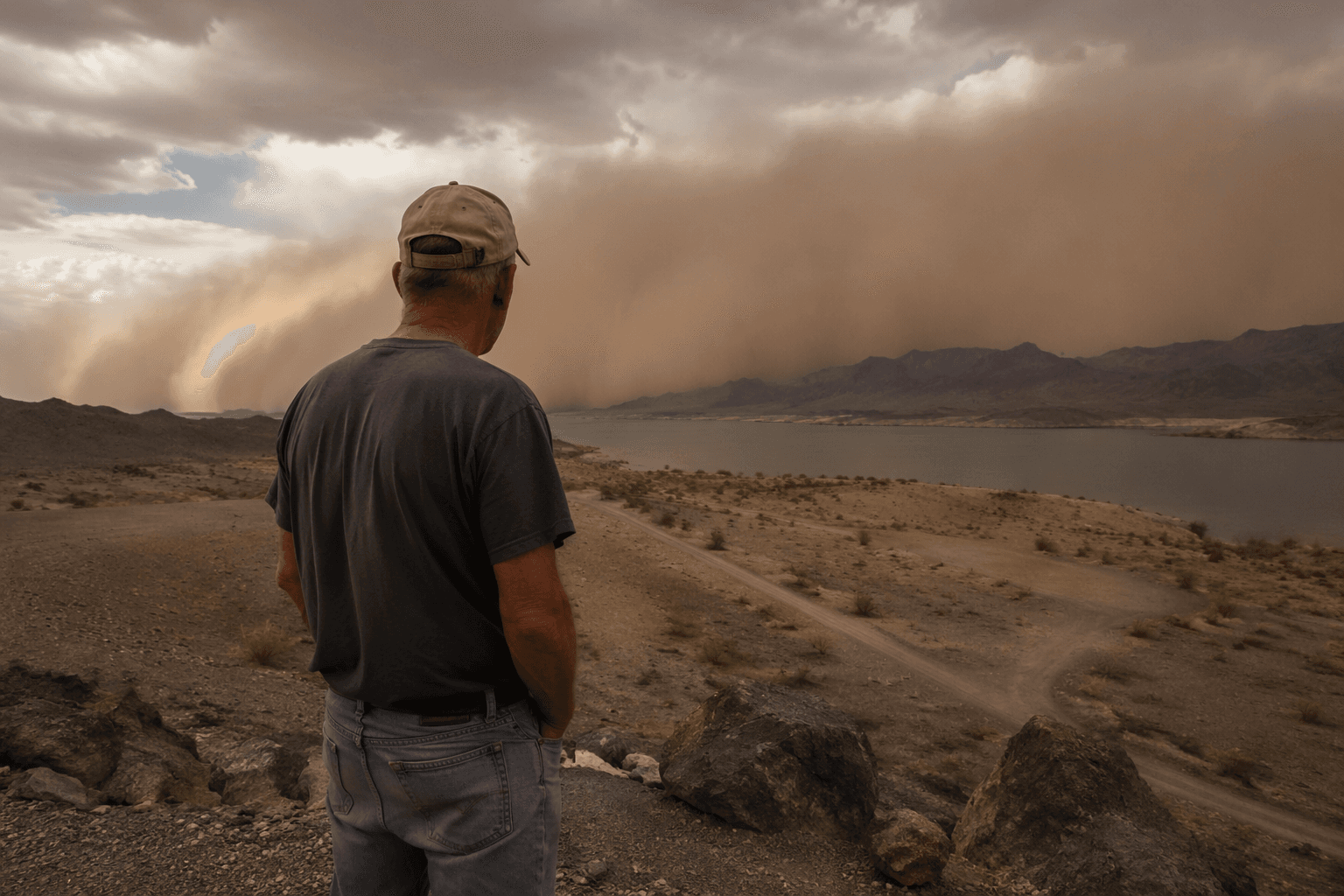
That landscape evidence gives La Paz County a rare continuity. The same river-edge geography that carried freight wagons toward Prescott now channels road traffic between Arizona and California, and the county still functions as a borderland gateway because the Colorado River narrows movement into a few key crossings and road corridors. The result is familiar to anyone who lives or works in Ehrenberg, Parker, or Quartzsite: commerce concentrates here, and so does the wear on roads and public infrastructure.
Why the corridor still defines La Paz County
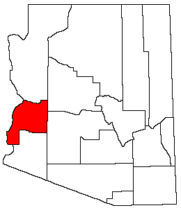
La Paz County itself is young, formed on January 1, 1983, from the northern half of Yuma County after Arizona voters approved creation of the county and the 36th Legislature passed Senate Bill 1267. Parker is the county seat, Parker and Quartzsite are the main population centers, and the county includes the Colorado River Indian Tribes. With a population of just over 16,000 people, the county’s economy leans on tourism and agriculture, two sectors that still depend on transportation corridors and river access.
That modern profile is built on older logistics. The freight roads that once tied river ports to Fort Whipple and Prescott established the basic pattern: La Paz County as the place where river, road, and settlement meet. The names have changed, the wagons are gone, and trucks now do the heavy lifting, but the county’s place in Arizona’s map still comes from the same corridor that supplied the territory when statehood was not yet even on the horizon.
This article was produced by Prism’s automated news system from verified source data, official records, and press releases, then run through automated quality and moderation checks before publishing. The system is built and supervised by the people who set the standards it runs under. Read our full AI policy.
Know something we missed? Have a correction or additional information?
Submit a Tip