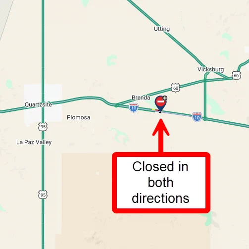
Parker Dam shaped La Paz County’s water history and identity
Parker Dam still controls the river that defines La Paz County, linking Parker, Lake Havasu and the Colorado River Aqueduct to federal water decisions.
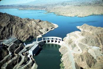
Parker Dam still determines more than the view from the river road. About 17 miles northeast of Parker, the structure spans the Colorado River between Arizona and California, and the Bureau of Reclamation keeps it in its Lower Colorado Dams Office as a working piece of water and power infrastructure. For La Paz County, that means the dam continues to shape who controls storage, delivery and access along the corridor that anchors Parker and Lake Havasu.
A river crossing that became a control point
The Library of Congress and the Historic American Engineering Record place Parker Dam in the Colorado River Aqueduct System and identify it as Parker Dam, Spanning Colorado River between AZ & CA, Parker, La Paz County, AZ. That catalog description matters because it captures the dam’s real role: it is not a scenic crossing, but a managed node in a multistate water network. Built between 1934 and 1938, it turned a desert river reach into a regulated reservoir landscape tied to regional growth far beyond La Paz County.
Built for Southern California, rooted in the lower Colorado
The Bureau of Reclamation says Parker Dam was built for the Metropolitan Water District of Southern California, and a Reclamation history video adds that it is unique in the agency’s inventory because Reclamation designed and constructed it but did not pay for it. The Metropolitan Water District funded the project entirely. That arrangement explains why decisions around Parker Dam have always reflected interstate water demand, not just local river use, and why the dam remains central to understanding how California’s appetite for Colorado River water helped reshape the Arizona side of the river.
How the dam fits the larger water system
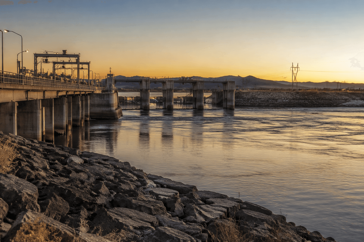
DesertUSA describes Parker Dam’s primary purpose as reservoir storage for water that can be moved into the Colorado River and the Central Arizona Project system. Lake Havasu, the reservoir created behind the dam, functions as a forebay and desilting basin for the Colorado River Aqueduct system. Water and Power Associates says the aqueduct was built between 1933 and 1941 and begins at Parker Dam before running to Lake Mathews in western Riverside County, California.
DesertUSA also notes that Parker Dam is operated with Hoover and Davis dams to bring water and power benefits. Put together, those facts show why the dam matters every day: it is part of the plumbing that governs where water goes, how it is prepared for long-distance delivery and how regional agencies manage a scarce resource.
Why Parker Dam stands out in engineering terms
Reclamation has described Parker Dam as the deepest dam in the world, with about 73 percent of its 320-foot structural height below the original riverbed. That figure explains why the dam can seem less imposing than its engineering footprint suggests. Much of the structure sits out of sight, yet its reach is felt in the reservoir, the aqueduct and the downstream allocation systems that rely on it.
In the lower Colorado River corridor, hidden infrastructure often carries the greatest political and economic weight. Parker Dam is a clear example of that pattern. Its physical presence is local, but its governing reach extends across state lines and into the institutions that move water through the Southwest.
What it means for La Paz County now
For Parker and the surrounding river communities, Parker Dam is part of the county’s daily geography and its long-term development story. The dam and powerplant sit on Highway 95 in Parker Dam, California, while the structure itself is only about 17 miles from the town of Parker, Arizona. That proximity makes the dam both a nearby landmark and an operating utility site.
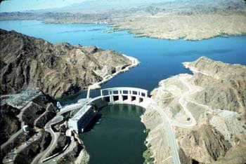
It also explains why La Paz County has long been tied to the river not just as scenery, but as a managed system for water storage, power generation, recreation and cross-border infrastructure. The dam helped turn the lower Colorado from a remote desert crossing into a place where federal and regional agencies still shape the flow of water and, with it, the county’s economic and civic life.
How to read the site when you drive out there
A visit to Parker Dam makes the most sense when you approach it as working infrastructure. The key details are the ones the engineers emphasize: the span across the Colorado River, the connection to Lake Havasu, the link to the Colorado River Aqueduct and the fact that the structure sits within the federal Lower Colorado Dams Office system.
Standing near the dam or driving the corridor around Parker, you are looking at the physical hinge between local life in La Paz County and the regional decisions that determine how Colorado River water is stored, moved and used. That is why Parker Dam remains one of the county’s most important built landmarks: it still explains who holds the controls.
This article was produced by Prism’s automated news system from verified source data, official records, and press releases, then run through automated quality and moderation checks before publishing. The system is built and supervised by the people who set the standards it runs under. Read our full AI policy.
Did this article answer your question?