Abbeville history links South Carolina settlers, Chickasaw ferry route
Abbeville’s past runs from South Carolina settlers and a Chickasaw ferry route to a 740-acre University of Mississippi field station that still draws research and students.
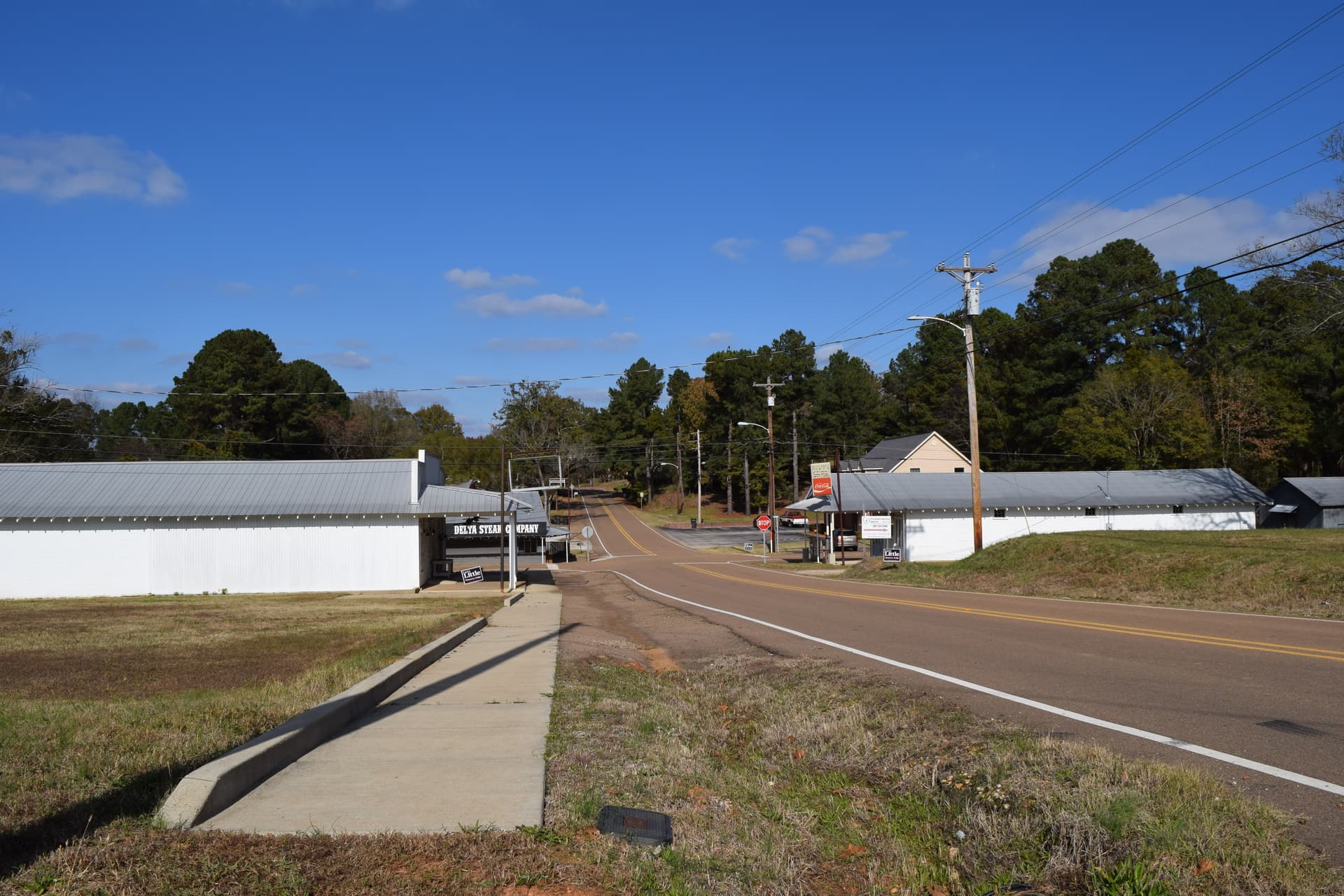
Abbeville sits at the point where Lafayette County’s oldest settlement story meets one of its newest forms of economic value. The town began as a river-crossing community tied to South Carolina migration and Chickasaw contact, but today it also anchors a large University of Mississippi research site that keeps land in active scientific use instead of letting it disappear into ordinary development.
A town shaped by migration, river travel, and Chickasaw ties
The Town of Abbeville says the community was founded in the early 1800s by pioneers from South Carolina and now has about 450 citizens. A county history adds a sharper timeline, placing the settlement in the early 1830s, when people from Abbeville, South Carolina, moved into the area and lived among remaining Chickasaw residents. That early mix of settlement and Native presence is central to why Abbeville matters in Lafayette County history, because it was never just a generic frontier stop.
One of the most specific links in that story is Chief Toby Tubby, whom the county genealogy account describes as a friend of the settlers who ran a ferry on the Memphis-Oxford Stage Route. That ferry made Abbeville part of the travel and trade system that connected inland Mississippi to broader routes before railroads changed the region’s geography. The same historical line connects the town to Thomas Dudley Isom, whose friendship with Chief Toby Tubby and Princess Hoka helped lead the Chickasaw to deed a large tract of land to Chisolm, Martin and Craig.
Lafayette County’s own origin story gives that settlement a larger frame. The Mississippi Encyclopedia dates the county’s founding to 1836, shortly after treaties forced most of the native Chickasaw population out of Mississippi. By 1840, the new county already had 3,689 free people and 2,842 slaves, a reminder that Abbeville grew inside the antebellum expansion that followed Native land cessions across north Mississippi.
Why the town faded as transportation changed
Abbeville’s place in the region changed as river travel lost ground to railroads. County history says nearly the entire settlement burned in 1862, leaving only two houses standing. Even after the Civil War, the town’s importance declined as railroad lines pulled traffic away from old ferry points and river crossings.
That shift was not unique to Abbeville, but the Mississippi railroad numbers show how quickly the state’s transportation map changed. The state had about 1,127 miles of rail lines in 1880, then 2,788 miles by 1900, and 4,223 miles by 1910. In practical terms, that meant places built around ferries, stage routes and river access had to compete with a new network that moved people and freight faster and more reliably.
For Abbeville, the consequence was more than historical nostalgia. It explains why the town’s significance cannot be measured only by old buildings or Civil War memory. Its real value now lies in how the old settlement footprint has been repurposed, most notably by the University of Mississippi Field Station.
The field station gives Abbeville a modern purpose
The University of Mississippi describes its Field Station in Abbeville as a place built to foster ecosystem stewardship through research, education and service. The station sits at 15 County Road 2078 in Abbeville, about 11 miles from the Oxford campus, which makes it close enough to function as part of the university’s working landscape while still offering the kinds of habitats that cannot be replicated in town.
The property covers more than 740 acres and includes pine and mixed-hardwood forest, bottomland forest, open fields, wetlands, eight constructed wetlands and more than 200 constructed small ponds. Another university page describes the site as a 700-acre living laboratory with spring, wetlands, streams and about 220 lakes and ponds. The university obtained the field station in 1985, and the biology department has played a substantial role in its operations since then.
That land use matters in Lafayette County because it keeps a large tract in active research rather than fragmented private development. It also brings a steady stream of users into Abbeville, including faculty, students, school groups and government agencies. For a small town with about 450 citizens, that is a meaningful kind of presence: not a tourist crowd, but a sustained institutional footprint that supports learning, fieldwork and regional partnerships.
What researchers use it for, and why that matters locally
The field station is tied to stream and river restoration, aquatic habitat restoration and wetland ecology. Those are not abstract specialties for north Mississippi. They connect directly to land management, water quality and the health of the broader Mississippi River Basin, where upstream conditions influence downstream systems.
The university also places the field station within a national network of biological field stations and says it supports six NSF-identified research priorities for field stations and marine laboratories. That puts Abbeville into a much larger research map, one that reaches beyond Lafayette County while still relying on this specific place, its wetlands, forests and ponds, to produce data and train scientists.
For Lafayette County, that has a few concrete implications. It helps preserve a large rural parcel near Oxford for long-term scientific use. It gives the county a site where university research can meet public-service goals. And it adds a modern reason for Abbeville to matter now, not just as a place where South Carolina settlers and Chickasaw leaders once crossed paths, but as a working landscape where land, water and science still meet every day.
Abbeville’s history is easy to misread if it is reduced to a faded river town. Its real story is that the old crossing point never disappeared, it changed jobs, and the work now happening there may be just as important to Lafayette County’s future as the ferry was to its past.
This article was produced by Prism’s automated news system from verified source data, official records, and press releases, then run through automated quality and moderation checks before publishing. The system is built and supervised by the people who set the standards it runs under. Read our full AI policy.
Did this article answer your question?