Eugene nears finish on Amazon Creek stormwater restoration project
Amazon Creek’s concrete chute in Amazon Park is almost gone, replaced by a winding stream meant to take heavier rain, cut erosion and soften flood risk near two Eugene schools.
A 65-year-old concrete chute running through Amazon Park is giving way to a more natural creek that Eugene says will move stormwater better when the next heavy rain hits south Eugene.
The city’s restoration work between East 24th Avenue and East 20th Avenue has rebuilt the channel as a gentler, winding stream with riffles and pools instead of a 21-foot-wide, 8-foot-tall concrete box. The stretch sits beside South Eugene High School, Roosevelt Middle School and the Amazon Trail, putting a major drainage project in daily view of students, walkers, runners and cyclists.
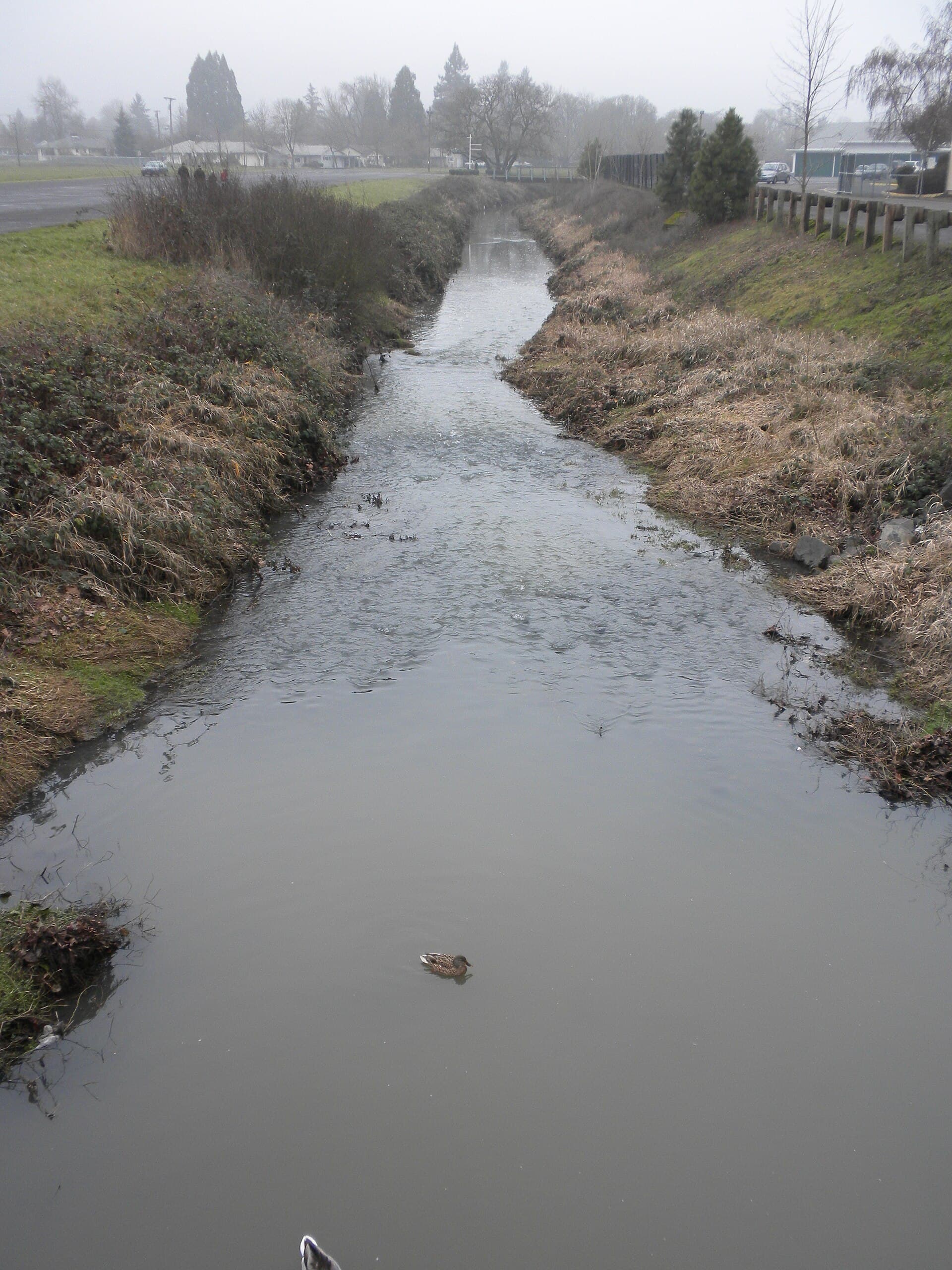
Eugene says Amazon Creek is the city’s largest stormwater infrastructure system, carrying millions of gallons of water through town each year and helping reduce flooding in a region that gets a lot of rain. City documents said parts of the old concrete channel were coming loose and beginning to erode the banks, raising concerns about waterflow during storm events. The rebuilt section is designed to handle larger volumes, slow water in shallow rocky areas, let silt settle in calmer pools, and improve oxygen levels as it moves downstream.
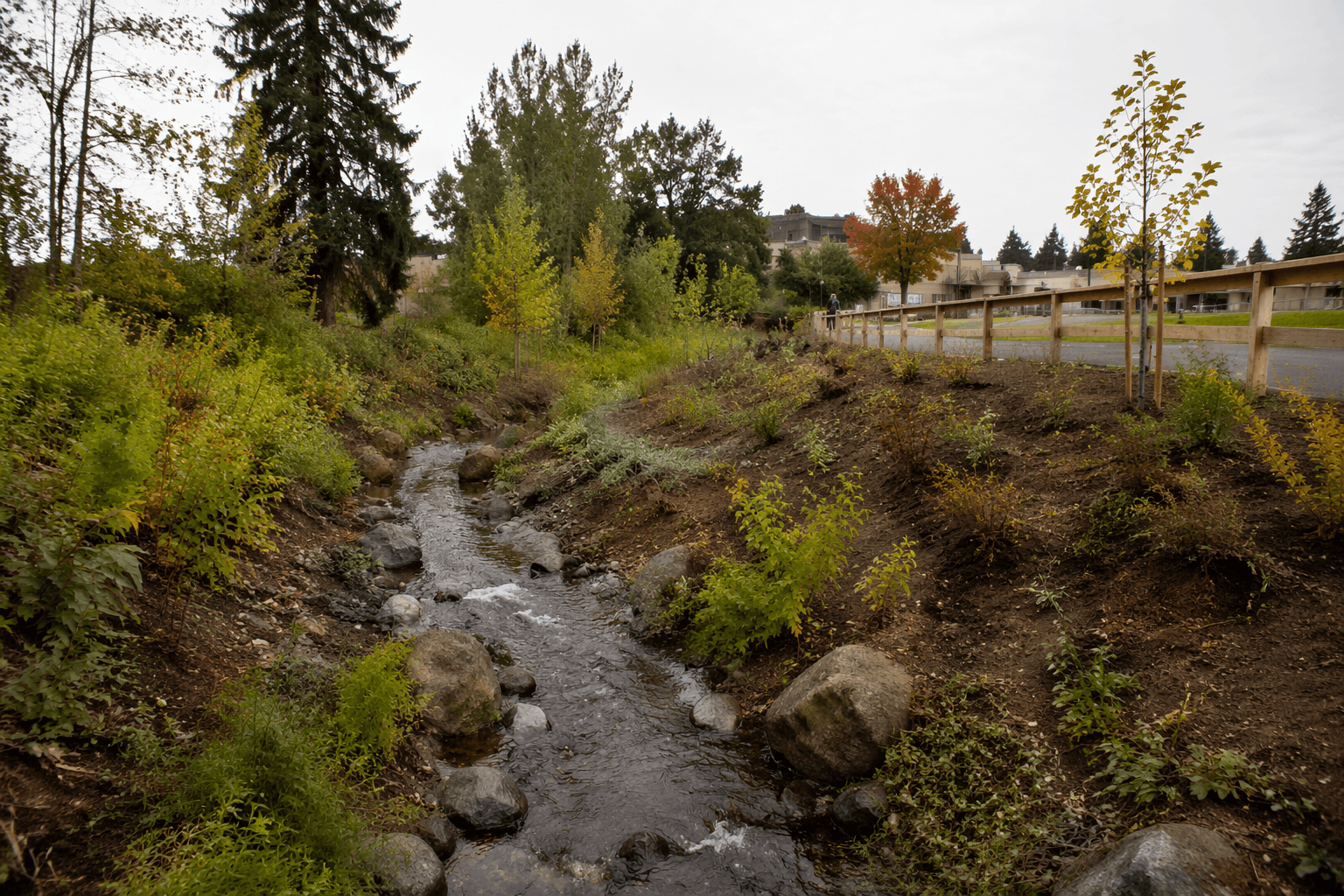
The project also aims to do more than control runoff. Eugene plans to replant the corridor with native vegetation, gently sloped banks and low-flow channels that should improve water quality, stabilize the creek edge and create habitat for fish, birds and other wildlife. The city also plans to reconstruct the footbridge south of 20th Avenue, another visible piece of the Amazon Park landscape that will change as the work wraps up.
Funding for the $3.6 million project came from several sources, led by a $2.7 million FEMA Hazard Mitigation Assistance grant that covers 75% of the cost. The remaining share comes from the stormwater utility fund, stormwater system development charges and the 2018 Parks and Recreation Bond.
The project lands in a city with a long memory of flooding. Eugene says major floods struck in 1861, 1890, 1945, 1956 and 1964, and the 1964 flood remains the largest flood event recorded in Lane County. The city also says major floods here have generally arrived in December and January, when heavy rain combines with snowmelt.
That history matters as flood planning keeps shifting. On January 22, 2026, FEMA revised preliminary flood maps for Lane County and Eugene, including hazards along Amazon Creek, underscoring that the creek remains part of an active flood-risk conversation even as the restoration nears completion.
Marion Suitor Barnes, Eugene Public Works spokesperson, said the restored reach would be “a showcase of native plants and grasses” and said it was already “beautifying the public-use area.” For south Eugene, the payoff is simple: a less rigid creek, a cleaner drainage corridor and a park edge built to face the next big rain with less concrete and more room for water, habitat and recovery.
This article was produced by Prism’s automated news system from verified source data, official records, and press releases, then run through automated quality and moderation checks before publishing. The system is built and supervised by the people who set the standards it runs under. Read our full AI policy.
Know something we missed? Have a correction or additional information?
Submit a Tip

