Eugene, Springfield update wildfire risk map ahead of fire season
South Hills, Hendricks Park, the Coburg Hills and Thurston Hills now sit near the top of Eugene and Springfield’s wildfire risk map as officials sharpen evacuation planning before fire season.

South Hills, Hendricks Park, the Coburg Hills and Thurston Hills stand out in Eugene and Springfield’s updated wildfire risk map as city officials prepare households for another fire season. The map is part of a five-year planning cycle and was presented to city councils on June 10, giving residents a neighborhood-level picture of where evacuation planning, defensible space and home hardening matter most.
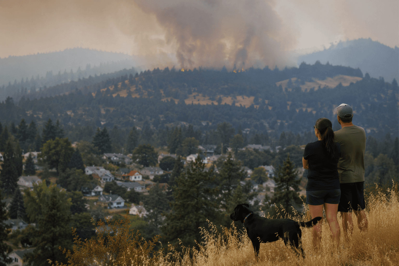
The numbers behind the update show why it matters beyond the forest edge. From 2019 to 2023, Eugene and Springfield recorded 1,163 vegetation fires, which made up 31% of all fires in that span. The cities’ wildfire planning effort is designed to identify risk areas, mitigation actions and updated evacuation routes and zones, so the map functions as a practical tool for people deciding how to clear brush, protect structures and plan an exit route before summer heat and wind raise the stakes.
City planning materials say the risk assessment weighs vegetation, weather patterns, topography, historical fire data, critical infrastructure, utilities, transportation routes, water supplies and emergency services. That explains why steep, wooded and hard-to-reach neighborhoods rise to the top. For families in those areas, the map has immediate consequences for school pickup plans, the time needed to get out safely and whether a property has enough defensible space around it.
The new map also sits inside a broader regional system. Eugene and Springfield revised their joint Emergency Operations Plan in June 2025, and the cities have operated Eugene Springfield Fire under an intergovernmental agreement since 2010. Springfield’s FY2027 fire budget says the department serves the two cities, their urban growth boundaries, East Lane Ambulance Services and contracted areas including the Glenwood and Rainbow water districts and part of the Willakenzie Fire Protection District.
That regional reach helps explain the scale of the work. Springfield’s FY2026 fire presentation says Eugene Springfield Fire serves about 300,000 people across roughly 1,736 square miles. The same presentation says the department was deployed to 10 separate wildfire conflagrations in FY25 and billed the state more than $206,000 for Springfield’s share. Springfield also added a fourth shift on January 11, 2026, underscoring how wildfire readiness has become part of daily operations.
The Holiday Farm Fire remains the benchmark for local planning. It began on September 7, 2020, near McKenzie Bridge during a strong east-wind event, burned more than 173,000 acres and swept through communities including Blue River, Finn Rock, Nimrod, Vida and Leaburg. Lane County is still working on recovery and housing redevelopment tied to that footprint, which keeps wildfire planning at the center of local public safety and land-use decisions.
The new map is not a regulatory document by itself, but it can shape where fuel-reduction work, evacuation planning, home-hardening efforts and future investments go first. For Eugene and Springfield neighborhoods now marked as more vulnerable, the update turns wildfire from a regional threat into a block-by-block question of readiness.
This article was produced by Prism’s automated news system from verified source data, official records, and press releases, then run through automated quality and moderation checks before publishing. The system is built and supervised by the people who set the standards it runs under. Read our full AI policy.
Did this article answer your question?