Lane County growth rules explained: UGB, urban reserves, rural plan
Lane County’s growth map is a three-part system. The UGB sets where city building can go now, urban reserves mark the next expansion area, and the rural plan keeps most county land rural.
The adopted urban-reserve map is the official GIS layer for the land between the Eugene UGB and the Metro Plan boundary. Eugene and Lane County do not decide growth with one map line. They use a layered system that tells you where housing can be built now, which land is next in line, and which ground stays rural unless a formal expansion changes it. Those boundary lines determine where roads, sewer lines, parks, schools, and private development are expected to go.
The three rules that shape growth
The first rule is the urban growth boundary, or UGB. In Eugene’s case, the city and county most recently established the boundary in 2018, and it was designed to provide enough land for housing, employment, school, and park needs through 2032. Inside it, land can be planned for urban uses; outside it, the rules are tighter and development is constrained.
The second rule is the urban reserve. Urban reserves are lands outside the UGB that can be considered first when a city eventually needs to expand. Oregon’s rule requires at least a 10-year supply and no more than a 30-year supply of developable land beyond the 20-year horizon used to set the UGB. In Eugene, the adopted reserve area is the 27-year option, which covers almost 6,000 acres.
The third rule is Lane County’s Rural Comprehensive Plan. It applies to unincorporated lands beyond incorporated cities’ urban growth boundaries and beyond the Eugene-Springfield Metropolitan Area Plan. Those policies are carried out mainly through zoning and planning designations.
What urban reserves actually do
Urban reserves are not a promise that development will happen soon. They are a formal land supply, set aside for later, that stays rural until a city brings it into the UGB through the expansion process. The reserve boundary aligns with tax lot lines from November 2018.
If land is in an urban reserve, it is still rural land. It cannot be urbanized unless and until the city takes the formal step of expanding the UGB. Reserve maps become central in planning fights because they shape where future neighborhoods, utility extensions, and transportation investments are likely to be aimed years before construction starts.
Urban reserves are also meant to prevent the kind of rural development that could make future city expansion harder. Once a patchwork of homes, driveways, and incompatible uses spreads across land that later needs city services, the cost and complexity of growth rise fast. The reserve system tries to avoid that by keeping large areas intact until the city actually needs them.
Why Lane County’s rural plan still carries so much weight
The Rural Comprehensive Plan governs unincorporated land beyond the city growth boundaries and beyond the Eugene-Springfield Metropolitan Area Plan, which means it is the baseline rule for most land in the county that is not already inside Eugene or Springfield. Zoning and planning designations keep that land rural rather than urban.
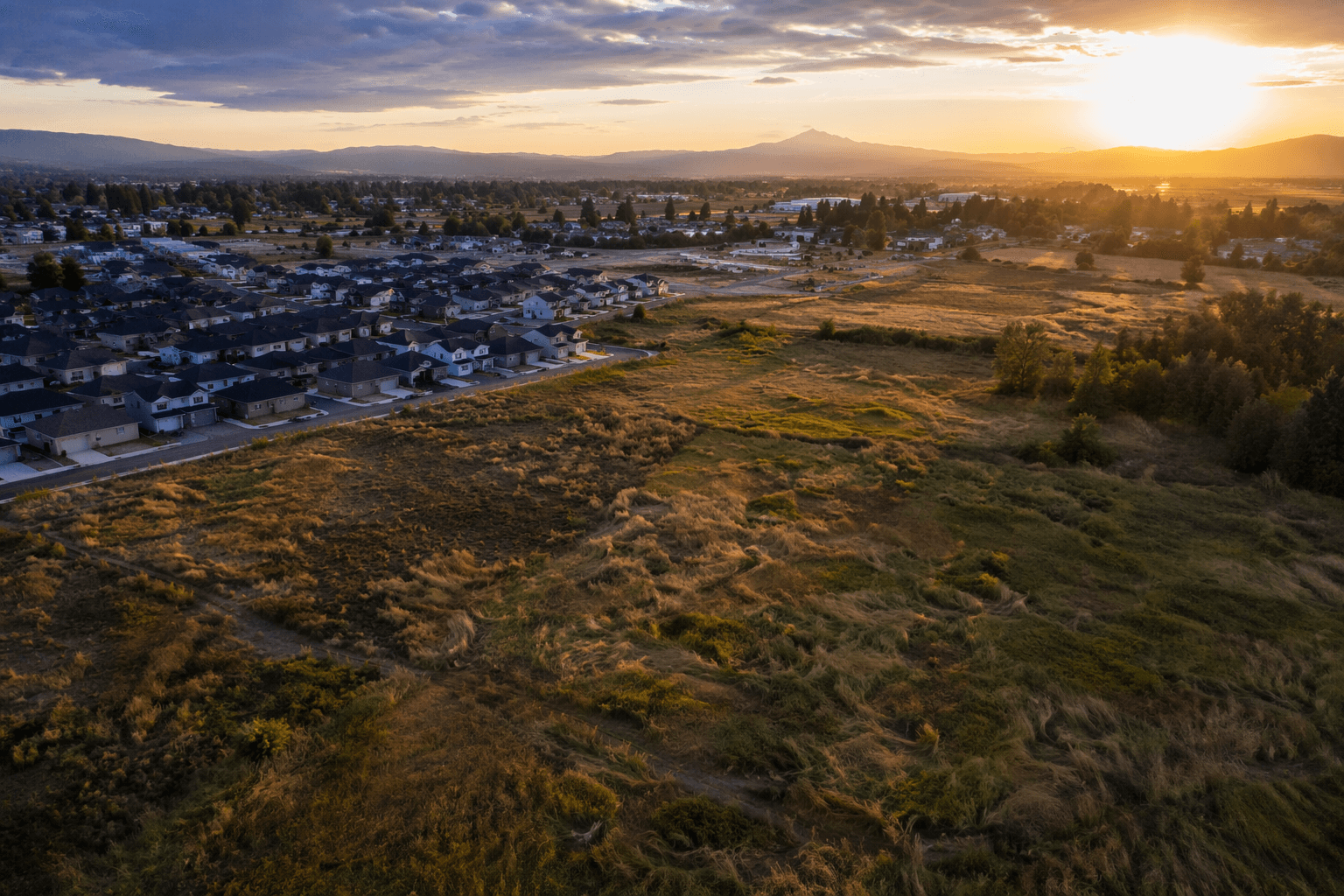
The practical effect is visible in the countryside around the metro area. Land outside the UGB is not treated as a blank slate for subdivisions, even when it sits close to existing roads or neighborhoods. The county’s rural framework is also part of how Lane County protects large blocks of agricultural land, forest land, and other important natural landscape features through long-term rural reserves.
A line on a planning map can decide whether a parcel is available for city services, whether a farm stays in production, and whether a road, sewer main, or park is expected in the near future.
How Eugene and Lane County reached the 2023 map
The Eugene reserve decision did not happen quickly. Lane County and Eugene had been working jointly on urban reserve planning since January 2018, and the process moved through public hearings, council votes, commission action, and state approval. A joint public hearing was held on February 28, 2023.

The Eugene City Council adopted Ordinance 20686 on April 10, 2023, by a 7-1 vote. The Lane County Board of Commissioners adopted Ordinance PA 1388 the next day, unanimously. The Department of Land Conservation and Development approved the amendments on August 17, 2023.
The adopted package tied together several planning documents at once: the Eugene-Springfield Metropolitan Area General Plan, Envision Eugene, and the Eugene-Springfield Metropolitan Area Public Facilities and Services Plan. It also set where public facilities and services are expected to go when the city eventually grows outward.
What the 27-year option means for Eugene
Eugene’s urban reserve was built around a 27-year horizon, which fits within the state rule that reserves must cover at least 10 years and no more than 30 years beyond the UGB’s 20-year planning period. The 2018 UGB was enough to serve housing, employment, school, and park needs through 2032, so the reserve system is meant to look well past that date.
The current growth conversation is not limited to the next subdivision or the next apartment project. It is also about which land stays in reserve, which land remains rural, and which corridors are likely to carry new roads and utilities when expansion eventually comes. The city’s Urban Growth Strategies update began in early 2024.
Why the boundary lines affect daily life
If you live inside Eugene or Springfield, UGB decisions shape where denser housing can go and how far public infrastructure can reach. If you live outside the city edge, the Rural Comprehensive Plan affects whether the land around you stays agricultural, forested, or otherwise rural. If you own land near the urban edge, the urban reserve map is a signal about whether your parcel is likely to stay rural for a long time or could eventually be considered for city growth.
This article was produced by Prism’s automated news system from verified source data, official records, and press releases, then run through automated quality and moderation checks before publishing. The system is built and supervised by the people who set the standards it runs under. Read our full AI policy.
Did this article answer your question?