Willamalane seeks feedback on proposed Thurston multi-use path
Willamalane asked Thurston residents to weigh in on a path that could finally connect North Thurston to Springfield’s trail network, with feedback open through July 5.
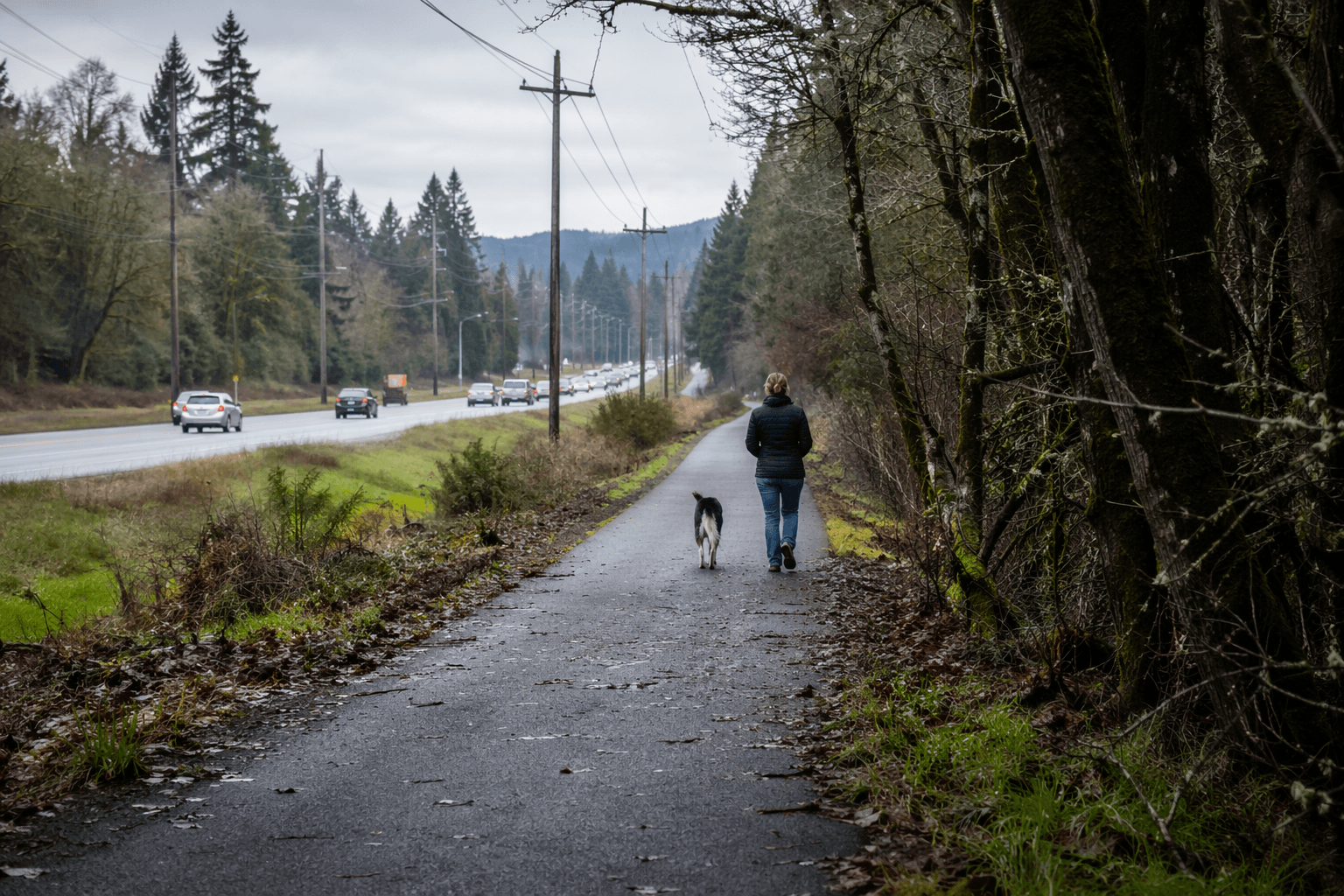
Willamalane asked Springfield residents to help shape a proposed multi-use path in Thurston that could give walkers, cyclists and families a new way to move between North Thurston and the city’s western trail network. The district said community feedback, due by July 5, will help determine the final route if the project moves forward.
The study area sits in northeast Springfield, bounded on the west by the existing EWEB Path and on the east by High Banks Road and 52nd Street. From there, the proposed route would run along the McKenzie River and through Willamalane’s Moe Mountain area before linking to the EWEB multi-use path, closing what the district described as a critical gap in Springfield’s regional walking and bicycling network.
That gap has mattered for years because there are no trails connecting North Thurston to the western parts of Springfield. Willamalane said it has heard repeated requests from the community for more trail access along the river, and the study is meant to test whether a connection can finally be made without creating unacceptable cost, private-property or environmental impacts.
The proposal already has a place in local planning documents. Willamalane identified the path as a high-priority project in its September 2023 comprehensive plan, which was adopted after input from more than 3,800 community members. The path also appears in the City of Springfield’s Transportation System Plan, a 20-year multimodal transportation plan that the city adopted in July 2014 and updated in 2020.
The feasibility phase is being funded through the Oregon Department of Transportation’s Oregon Community Paths Program. ODOT says the program supports development, construction, reconstruction, resurfacing and other improvements to multi-use paths that improve access and safety for people walking and bicycling. Even after the Oregon Legislature redirected $8 million from the program in March 2026, ODOT said projects already underway or already selected for funding will continue.
Willamalane said it has partnered with BerryDunn consultants and will keep talking with landowners and community partners as the study advances. Its timeline calls for community feedback in summer 2026, selection of a preferred alignment in fall 2026 and a final feasibility report in winter 2026. No construction budget has been identified yet, and any buildout would likely happen in phases.
If the project survives the feasibility stage, the path could reshape everyday trips in Thurston by giving students, older adults and neighborhood families another option besides car traffic for reaching the river corridor and nearby destinations. Thurston Hills Natural Area, which opened in 2017 and now has more than 12 miles of trails across 665 acres, shows how quickly trail access can become part of daily life once it exists.
This article was produced by Prism’s automated news system from verified source data, official records, and press releases, then run through automated quality and moderation checks before publishing. The system is built and supervised by the people who set the standards it runs under. Read our full AI policy.
Know something we missed? Have a correction or additional information?
Submit a Tip