Fishers Peak State Park offers year-round hiking, conservation near Trinidad
Fishers Peak turned Trinidad’s skyline mountain into a public park with summit access, seasonal wildlife closures, and 55 square miles of protected land.
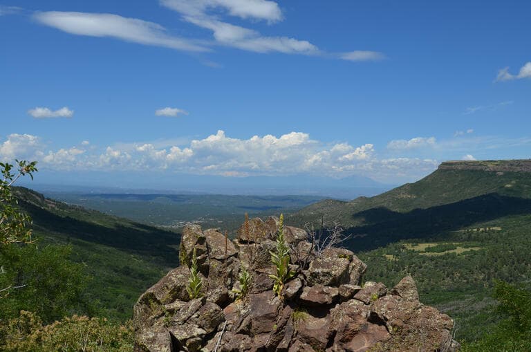
Fishers Peak is no longer just the dark outline above Trinidad. The 19,200-acre Fishers Peak State Park now gives Las Animas County a permanent public landscape anchored by a 9,633-foot summit, a rugged trail system, and conservation land that reaches far beyond a single hike.
From private ranch to public park
Colorado Parks and Wildlife identifies Fishers Peak as Colorado’s 42nd state park, and that status matters because it changed the mountain from a private backdrop into public land. The property was completed in state hands in April 2020, after it had been known as Crazy French Ranch, and the park opened to the public on Oct. 30, 2020.
The first public opening was modest but important. Visitors got access to 250 acres through three trails and a public picnic area, giving Trinidad and nearby communities a way to step onto a landscape that had long been visible but not fully reachable. That opening fulfilled a goal Gov. Jared Polis had announced in September 2019, when he set a target of meaningful public access by 2021.
What makes Fishers Peak different
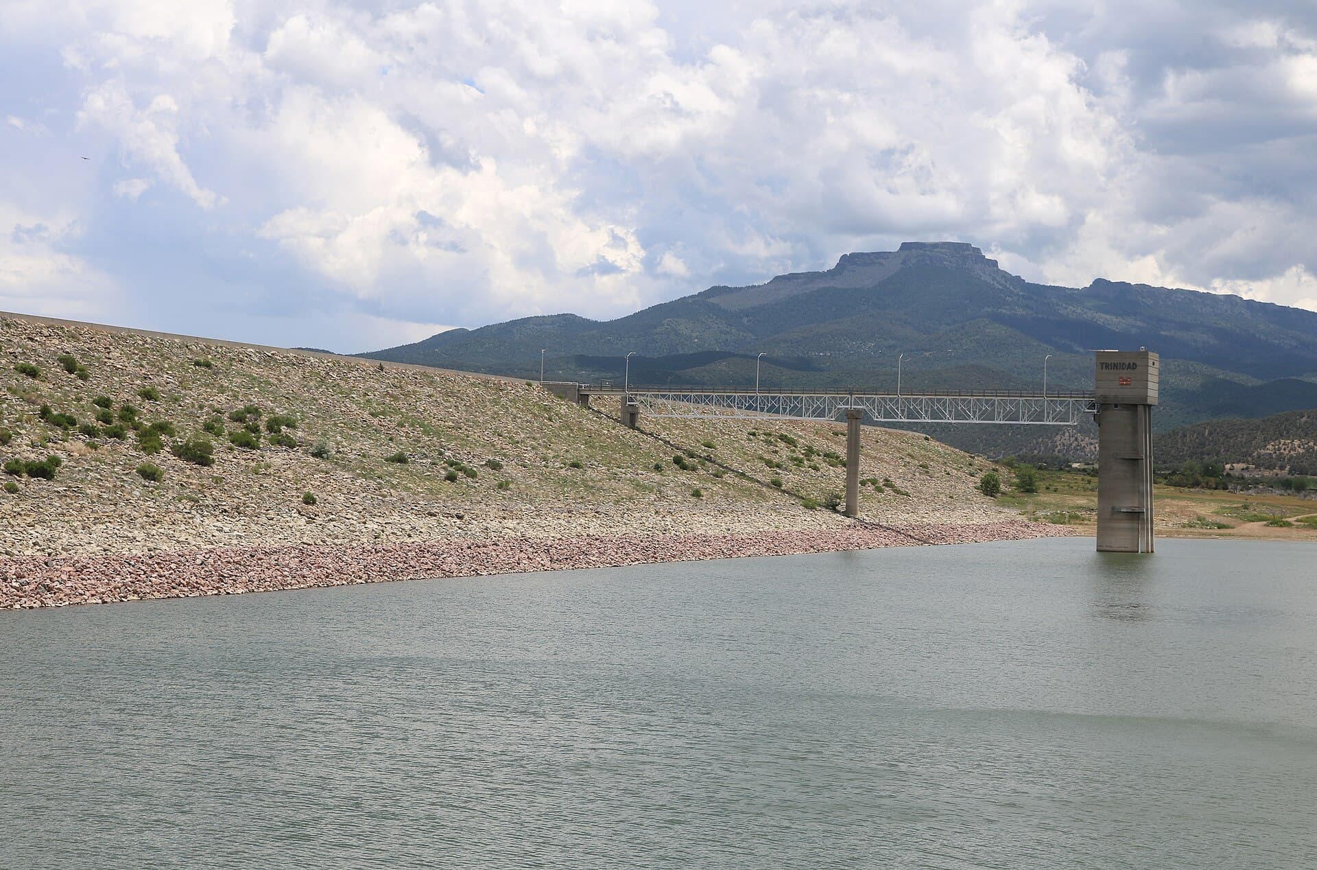
Fishers Peak rises to 9,633 feet, and that single number explains much of the park’s identity. The summit dominates the view from Trinidad, but the land around it is just as important: CPW describes the park as rugged, with diverse and healthy ecosystems, abundant wildlife, forests, meadows, and ravines.
That mix makes Fishers Peak different from lower-elevation recreation around Las Animas County. It is a place where hiking and habitat management happen at the same time, and where the landscape itself shapes how people use it. The mountain also carries a deeper geographic claim: the Colorado Natural Heritage Program says Fishers Peak is the highest point east of its longitude in the United States.
How the trail experience evolved
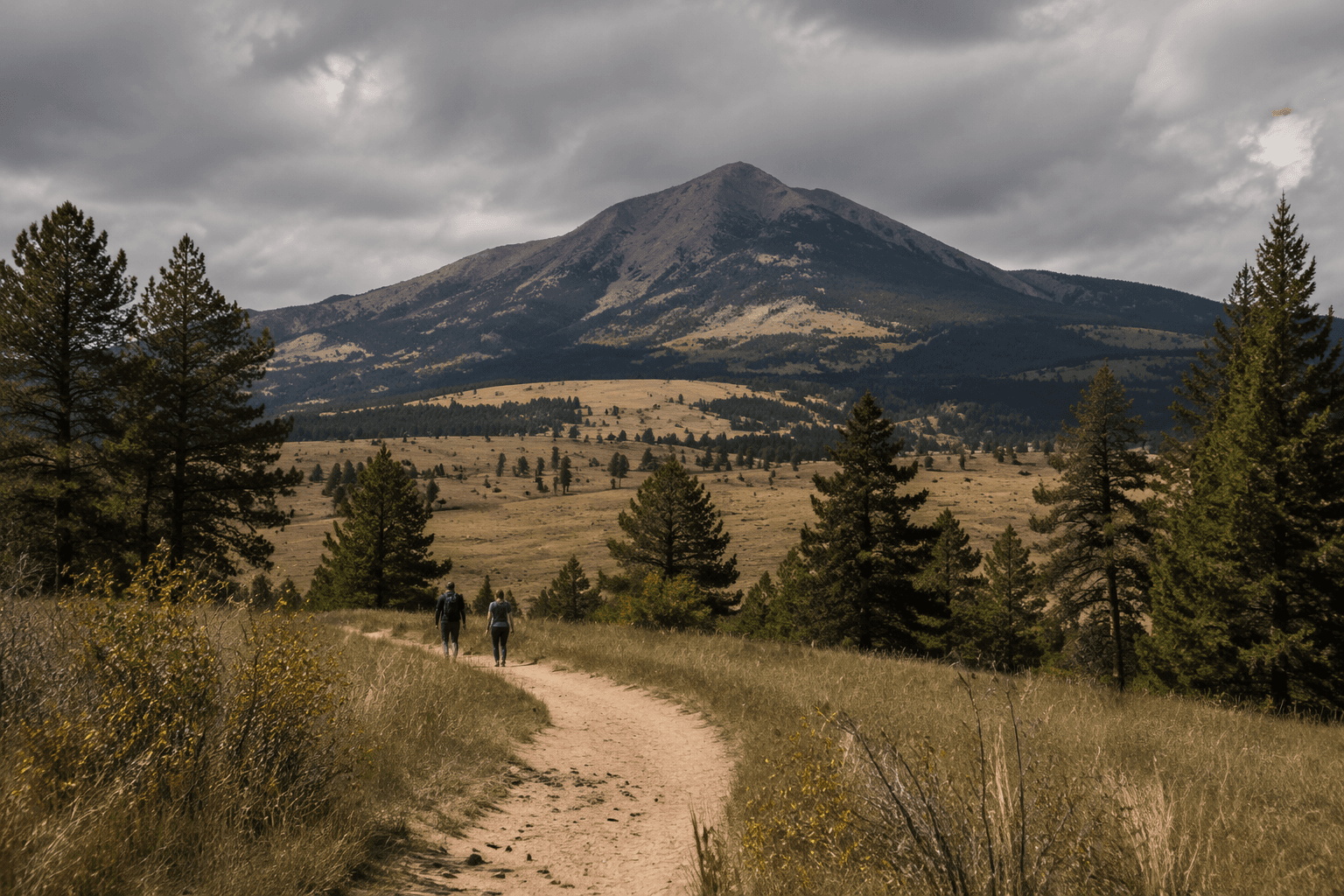
The park’s biggest step from scenic symbol to real hiking destination came on Nov. 20, 2023, when Gov. Jared Polis opened the Fishers Peak Summit Trail. His office described it as an eight-mile trail to the 9,633-foot summit, with access scheduled to remain open until the March 15 summer closure for raptor nesting.
Other trail descriptions help show the scale of the climb. Colorado Public Radio noted that the summit trail added to the 13 miles of trails already available to hikers and bikers, while a 14ers.com trip report described the newly opened Fishers Peak Trail as 16 miles out and back with about 3,400 feet of vertical gain. However the route is measured, it is a serious mountain outing, not a casual city stroll.
For hikers, that means Fishers Peak now offers a spectrum of access. The lower trails and picnic area provide a shorter park visit, while the summit route turns the mountain into a full-day objective. That range is a major part of why the park works as a year-round local asset rather than a one-season attraction.
Why the park matters beyond scenery
Fishers Peak has become part of a much larger conservation landscape around Trinidad. Great Outdoors Colorado says the park contributes to 55 square miles of contiguous, publicly accessible protected land, which gives the area a scale that goes well beyond the park boundary itself. That connected landscape helps explain why the project drew support from conservation groups as well as recreation advocates.
The Nature Conservancy has captured that philosophy in one line: “Sometimes the best way to protect a place is to open the gates.” Fishers Peak shows how that idea works in practice. The park protects wildlife habitat while also giving the public a controlled way to use the land, and the seasonal closure for raptor nesting shows that access is being managed around ecological needs rather than treated as an afterthought.
A mountain with older history
Fishers Peak is also tied to an older transportation story. Colorado Encyclopedia notes that the mountain was historically part of the Santa Fe Trail, linking the peak to the trade and travel corridor that shaped the southern Colorado and northern New Mexico borderlands.
That history gives the park a larger meaning for Las Animas County. It sits near the New Mexico border, overlooking Trinidad, but it also connects the region to routes that moved people, goods, and ideas across the Southwest long before it became a state park. The mountain now serves two purposes at once: it is a protected natural landmark and a visible reminder of the county’s place in regional history.
What to know before heading up
Fishers Peak works best when visitors think about it as both a hike and a managed conservation area. The summit trail is seasonal because of raptor nesting, and the mountain’s rugged topography means conditions can change quickly with elevation and weather. The park’s lower trails, the summit route, and the original picnic area all reflect a design that balances access with protection.
A visit here is not just about reaching a summit. It is about seeing how Trinidad and Las Animas County now live with the mountain year-round, through public land, wildlife management, and trail access that replaced distance with actual use.
This article was produced by Prism’s automated news system from verified source data, official records, and press releases, then run through automated quality and moderation checks before publishing. The system is built and supervised by the people who set the standards it runs under. Read our full AI policy.
Did this article answer your question?