Severe thunderstorms may hit southeast Las Animas County hardest
Southeast Las Animas County was singled out for the heaviest thunderstorms, with hail and wind threats most likely during afternoon and evening holiday travel.

Storms were the biggest concern for the southeast corner of Las Animas County, where KRDO said the hardest hit area could include Trinidad, Aguilar, Starkville and Weston as a system moved through with severe thunderstorm warnings possible. The timing mattered as much as the storm track: the forecast called for showers and thunderstorms in the broader Pikes Peak region from about 4 p.m. to 10 p.m., then a drier start the next day before spotty showers became more likely after 2 p.m. along the Interstate 25 corridor.
That put Memorial Day weekend travel and outdoor plans in the crosshairs, especially on rural roads and open stretches where visibility can change fast. With strong cells in the mix rather than a simple rain shower, residents had to watch for wind, hail and lightning, and the southeast corner of the county was the area specifically flagged as most likely to take the hardest hit.
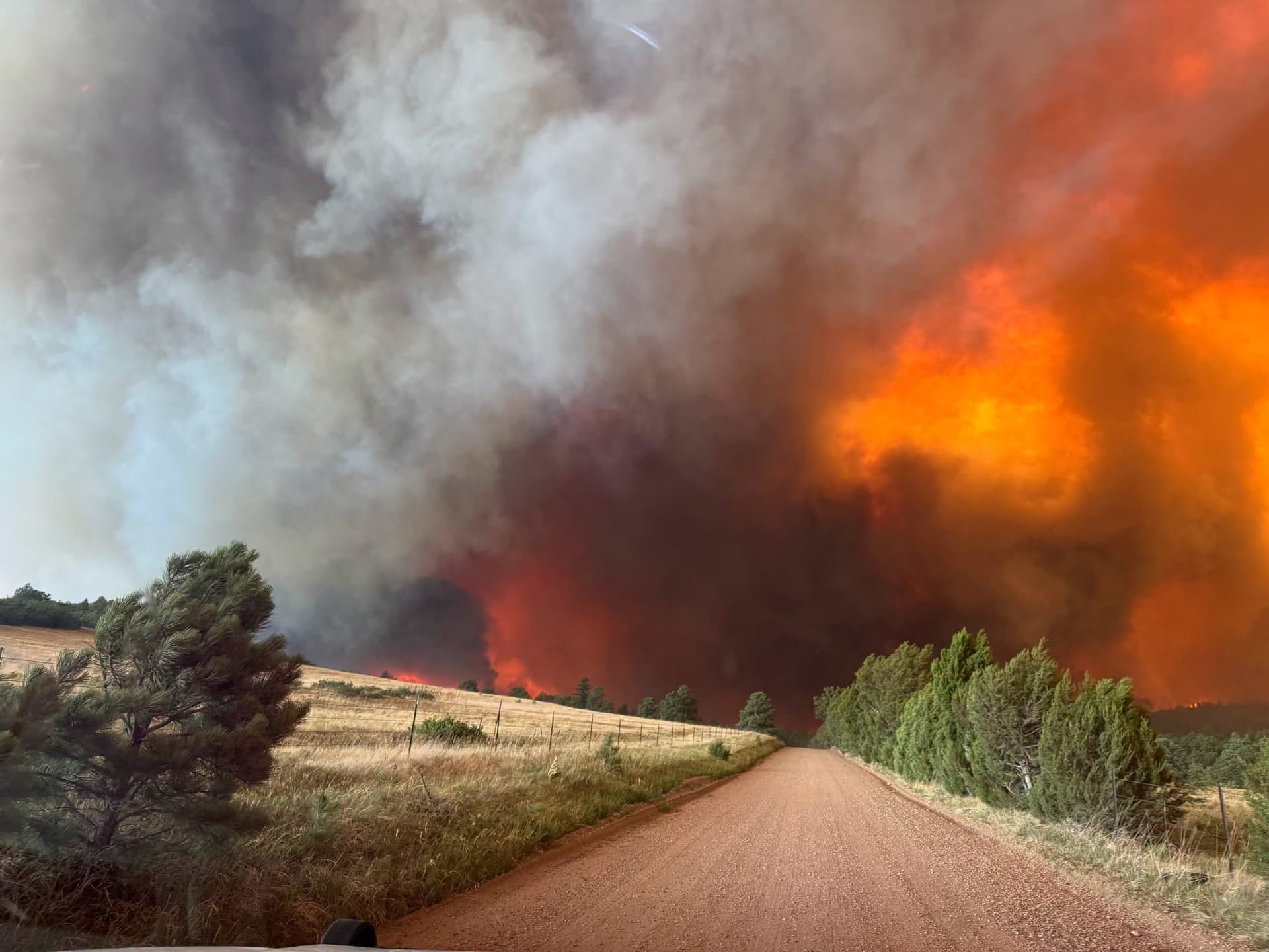
The threat was not limited to a passing sprinkle. KRDO said severe thunderstorms sweeping through southeast Colorado could bring 1-2 inch hail, 60-70 mph wind gusts and even a small weak tornado to Baca County and surrounding areas around 5 p.m. The National Weather Service in Pueblo also said thunderstorms were expected in eastern Colorado and that large hail would be the primary hazard, underscoring how quickly the weather could turn damaging across the plains.

By May 23, the Pueblo forecast discussion showed a pattern that stayed unsettled into the holiday stretch. Thunderstorm chances were expected to increase across most of the region Monday and Tuesday, with the best chance over the mountains, followed by a drying trend from Wednesday into the weekend. Even then, afternoon and evening storms could still pop up on the plains, which kept southeast Las Animas County in a zone of stop-and-start weather rather than a clean break.
In the Las Animas Vicinity/Bent County forecast, Memorial Day was mostly sunny with a 20 percent chance of thunderstorms and highs near 90, with south winds of 10 to 25 mph. Tuesday carried a 40 percent chance of thunderstorms in the afternoon, along with mostly cloudy skies and highs around 80. For anyone heading out for camping, field work or a holiday drive, the message was clear: the warm, unsettled pattern could turn quickly, and the official warnings were being updated through KRDO forecasts and the National Weather Service in Pueblo.
This article was produced by Prism’s automated news system from verified source data, official records, and press releases, then run through automated quality and moderation checks before publishing. The system is built and supervised by the people who set the standards it runs under. Read our full AI policy.
Did this article answer your question?