Special weather statements warn of strong thunderstorms in Las Animas County
Strong thunderstorms moved through Las Animas County Wednesday, with 40 mph wind gusts and half-inch hail threatening Trinidad-area neighborhoods and roads below 7,500 feet.

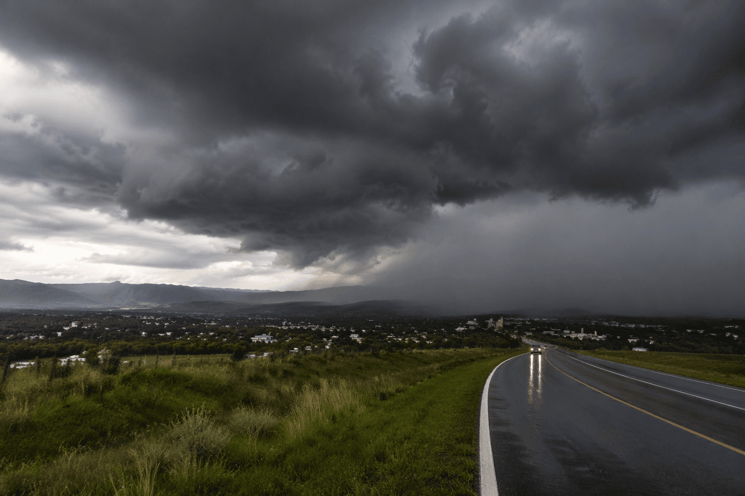
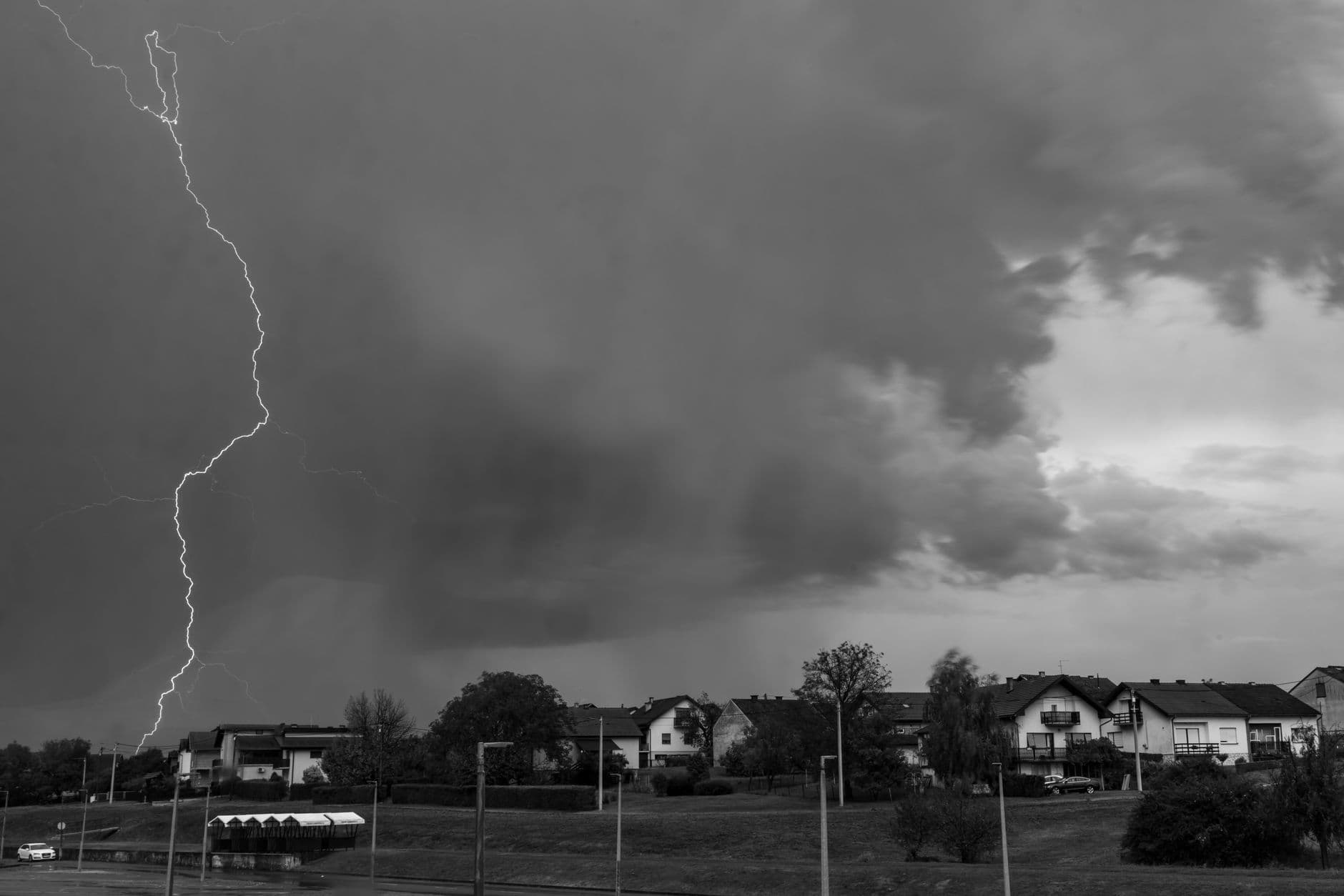
Gusty thunderstorms swept into Las Animas County Wednesday afternoon, with the strongest cells aimed at the Trinidad vicinity, western areas below 7,500 feet and eastern parts of the county. The National Weather Service in Pueblo issued special weather statements warning of wind gusts up to 40 mph and half-inch hail, the kind of burst that can knock down tree limbs, scatter unsecured items and leave minor damage on vegetation.
At 1:42 p.m. MDT, forecasters said radar was tracking a strong thunderstorm about 7 miles southeast of Model, or 23 miles east of Trinidad, moving east at 15 mph. The alert covered the Trinidad vicinity, western Las Animas County below 7,500 feet and eastern Las Animas County. A separate regional alert later pointed to a more intense storm east of Higbee, where radar indicated 50 to 55 mph winds and nickel-size hail in the broader Las Animas-Bent County area.
So far, no major damage had been reported from the May 21 storms as they pulsed across the region. But the setup was part of a larger severe-weather pattern across eastern Colorado, where forecasters said severe thunderstorms with large hail, isolated damaging winds and possibly a tornado were expected May 22.
Las Animas County has a history of dangerous spring and summer storms. On June 6, 2014, a tornado crossed east of Trinidad near U.S. Highway 160 and County Road 101.8, and the National Weather Service later rated it a high-end EF1. Another tornado touched down west of Las Animas on July 14, 2020, in a mostly empty field with no reported damage, injuries or fatalities.
Residents from Trinidad to the outlying ranch land east of town have already seen how quickly storms can intensify in this part of southeast Colorado. With the next round of severe weather still a concern, the immediate threat remained hail, strong wind and fast-changing conditions across open country and local road corridors.
This article was produced by Prism’s automated news system from verified source data, official records, and press releases, then run through automated quality and moderation checks before publishing. The system is built and supervised by the people who set the standards it runs under. Read our full AI policy.
Know something we missed? Have a correction or additional information?
Submit a Tip