Weather service issues early statement for eastern Las Animas County
A pre-dawn weather statement covered eastern Las Animas County until 8:49 a.m., warning of 50 mph gusts and pea-size hail as a storm tracked southeast.

A pre-dawn special weather statement put eastern Las Animas County on notice before sunrise, warning that a strong thunderstorm could affect morning travel, ranch work, and outdoor jobs before 8:49 a.m. The alert also covered nearby areas in Otero County and the Las Animas area in Bent County, making it clear the hazard was part of a broader southeastern Colorado storm pattern.
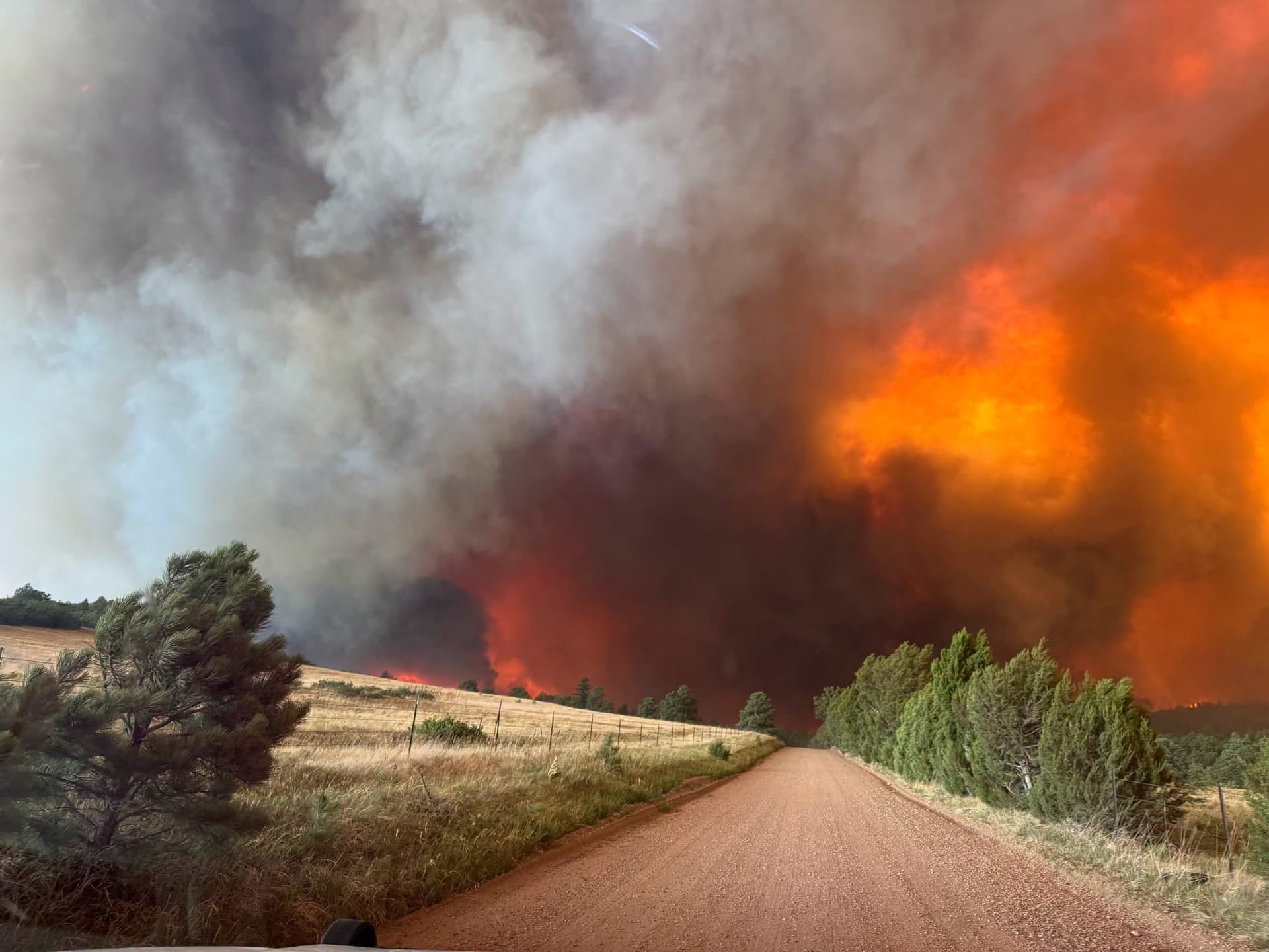
At 2:45 a.m. MDT, radar showed a thunderstorm 16 miles south of Higbee, or 30 miles south of North La Junta, moving southeast at 20 mph. The National Weather Service in Pueblo said the storm could bring wind gusts up to 50 mph and pea-size hail, with gusty winds capable of knocking down tree limbs and blowing around unsecured objects. Minor hail damage to vegetation was also possible.
For residents in rural stretches of east Las Animas County, the timing mattered as much as the weather itself. The statement was aimed at the early-morning window when drivers were heading out on long county roads, ranch crews were starting work, and outdoor plans were being set for the day. Because the storm was expected to stay over mainly rural areas of southeastern Otero, east-central Las Animas and southwestern Bent counties, the most immediate risk was to people already on the road or outside when conditions changed.

The short-lived alert expired at 8:49 a.m., which pointed to a fast-moving weather feature rather than an all-day event. Even so, the radar track and the warning area showed how sharply conditions can vary across southeastern Colorado, with east Las Animas County singled out separately from the Trinidad vicinity and other nearby zones.
The storm was part of a larger June 26 weather cycle across the region. The National Weather Service’s hazardous weather outlook, issued later that morning, said scattered thunderstorms would spread east across the plains into the evening and that storms north of Highway 50 in Prowers, Bent and Kiowa counties had the highest chance of becoming severe, with hail up to 1.5 inches, wind gusts over 60 mph and an isolated tornado. By late afternoon, severe thunderstorm warnings followed in parts of southeastern Colorado, with hazards including 60 mph winds, quarter-size hail, 70 mph winds and golf ball-size hail.
This article was produced by Prism’s automated news system from verified source data, official records, and press releases, then run through automated quality and moderation checks before publishing. The system is built and supervised by the people who set the standards it runs under. Read our full AI policy.
Did this article answer your question?