Rio Fire crews shift to mop-up as handlines secure full perimeter
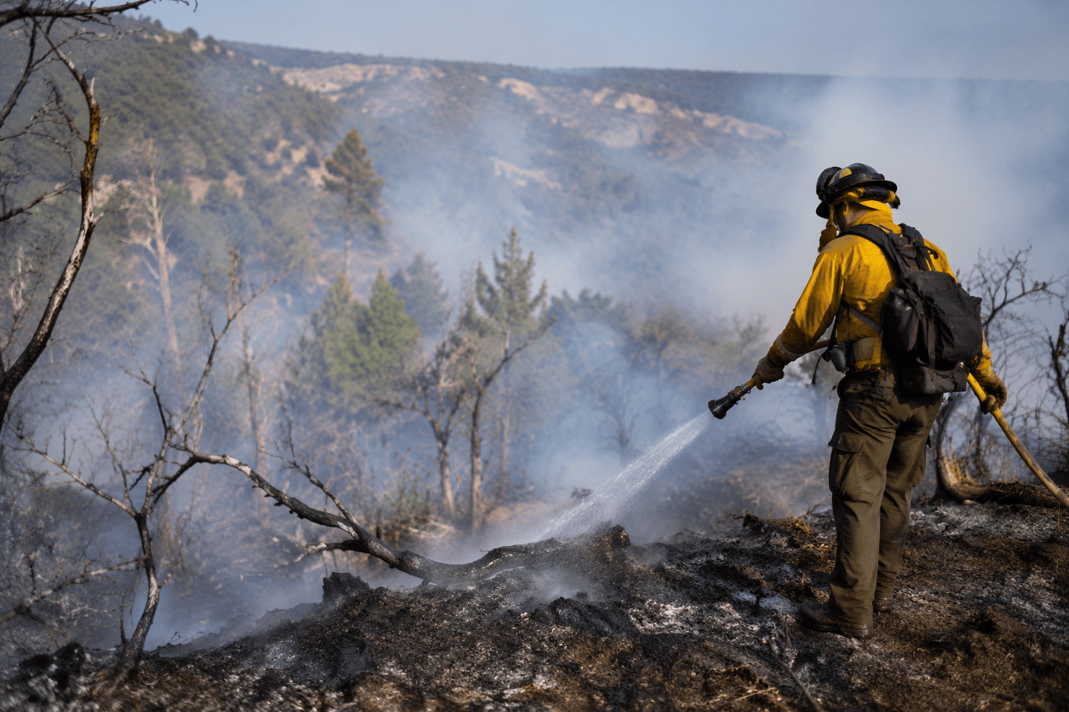
Crews wrapped handline around the Rio Fire’s full perimeter, but hot spots still smoldered and smoke remained visible across Los Alamos County.
Handlines now ring the Rio Fire from end to end, but the fire was still active and still carried 0 percent containment as crews shifted from edge-building to mop-up. For Los Alamos County, the change matters less as a victory lap than as a sign that suppression has moved into the harder work of keeping heat from breaking back out in steep country north of Chicoma Mountain.
The June 22 update put the fire at 184 acres, the same size it had reached by June 20, after starting June 16 near Mesa De La Gallina in the Española Ranger District of the Santa Fe National Forest. Four Interagency Hotshot Crews, Navajo, Santa Fe, Sawtooth and Texas Canyon, completed handline around the entire perimeter on Sunday, while aircraft kept making targeted water drops to cool hot spots and strengthen the line.
That progress rested on logistics as much as tactics. Dozer work on Forest Service Road 31 improved access to the primary staging area, and crews were scouting Forest Service Road 144 to open a northern route that could speed response and reduce the time needed for medical evacuation. The update also said a heliwell, a water source set closer to the fire, had cut helicopter turnaround time by half compared with trips back to Abiquiu Reservoir.
The fire was not done testing crews. Dead and downed fuels continued to smolder, and locust trees flared up intermittently inside the perimeter. Officials also warned that a Temporary Flight Restriction remained in place and that drones or other aircraft in the area would force aerial resources to shut down immediately, a risk that could slow the very aircraft being used to cool the fire. Smoke remained visible from Santa Fe, Española, Los Alamos and surrounding communities, and hot, dry weather was still working against suppression.

The Rio Fire began as a lightning-caused holdover in a previously burned area and was first noted by Los Alamos County on June 17 at roughly 5 to 10 acres, with no threat to Los Alamos at that time. Red-flag conditions, heavy dead-and-down fuels and limited safe access pushed it to 128 acres, then 166 acres, before it settled at 184 acres over the next several days. The Northern New Mexico Type 3 Incident Management Team, led by Incident Commander Luke McLarty, was ordered June 17 and was set to take command June 19 at 6 a.m. Personnel rose from 70 on June 18 to 172 on June 22, underscoring how quickly the response scaled up around a fire that has not burned any structures so far but still demands close watch.
This article was produced by Prism’s automated news system from verified source data, official records, and press releases, then run through automated quality and moderation checks before publishing. The system is built and supervised by the people who set the standards it runs under. Read our full AI policy.
Did this article answer your question?