Rio Grande gauge near White Rock hits record low during runoff season
The Rio Grande near White Rock has fallen to a runoff-season record low, deepening worries about wildfire risk, summer recreation and water supplies in Los Alamos County.
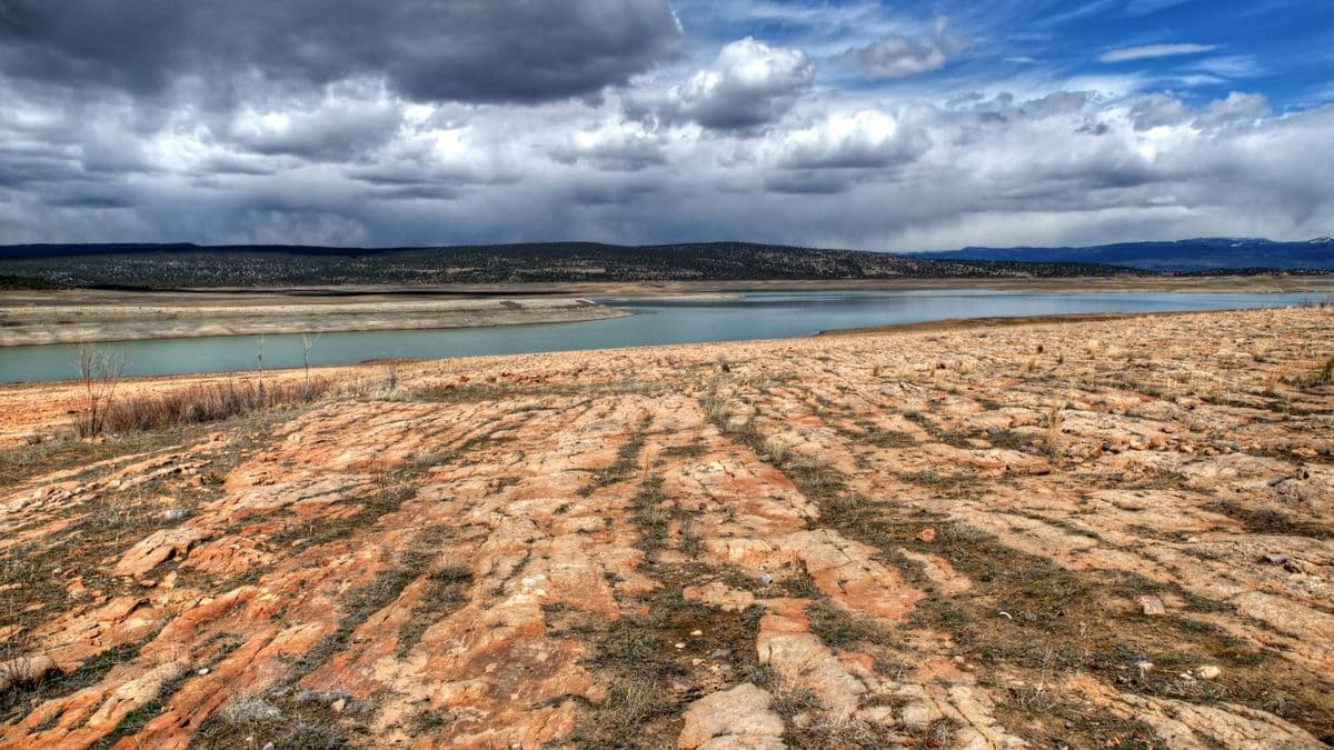
The Rio Grande near White Rock has dropped to a record low for runoff season, a stark warning for Los Alamos County as summer heat, wildfire danger and water demand begin to converge. The U.S. Geological Survey’s monitoring site, 08313268, sits in Los Alamos County at 5,420 feet and tracks a watershed with a contributing drainage area of 11,150 square miles.
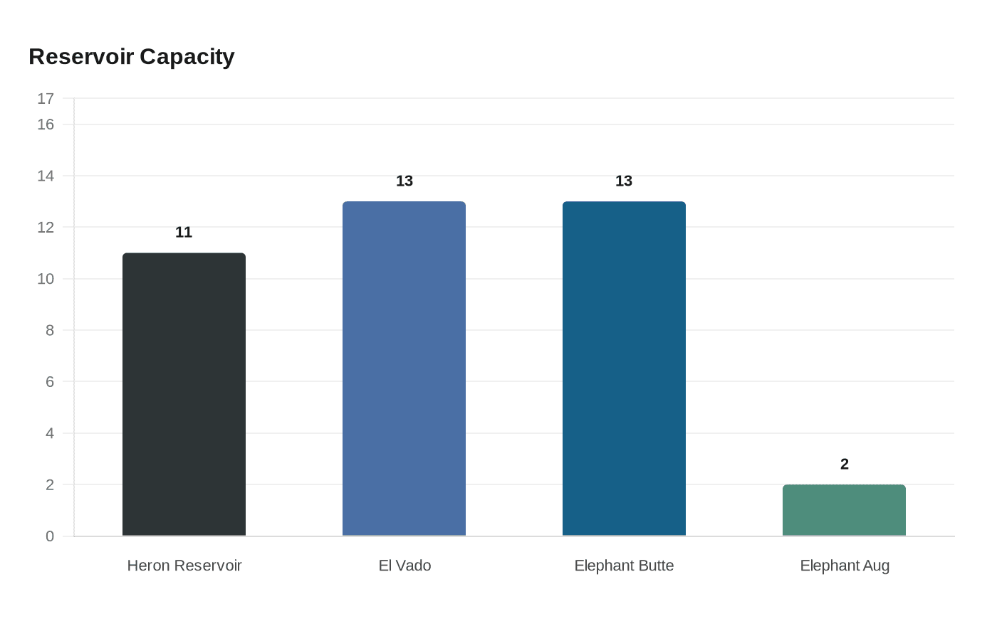
The low reading comes after the Bureau of Reclamation said on April 16 that the Rio Grande had already peaked from one of the lowest snowpacks on record and that the basin had seen the earliest snowmelt on record. Reclamation said the river is now facing a third dry year in a row, with most reservoirs along the Rio Chama and Rio Grande holding less than 15% of capacity. Heron Reservoir was at 11%, El Vado at 13% and Elephant Butte at 13%, and the agency warned Elephant Butte could fall to about 2% of capacity by late August if monsoon rains do not arrive.
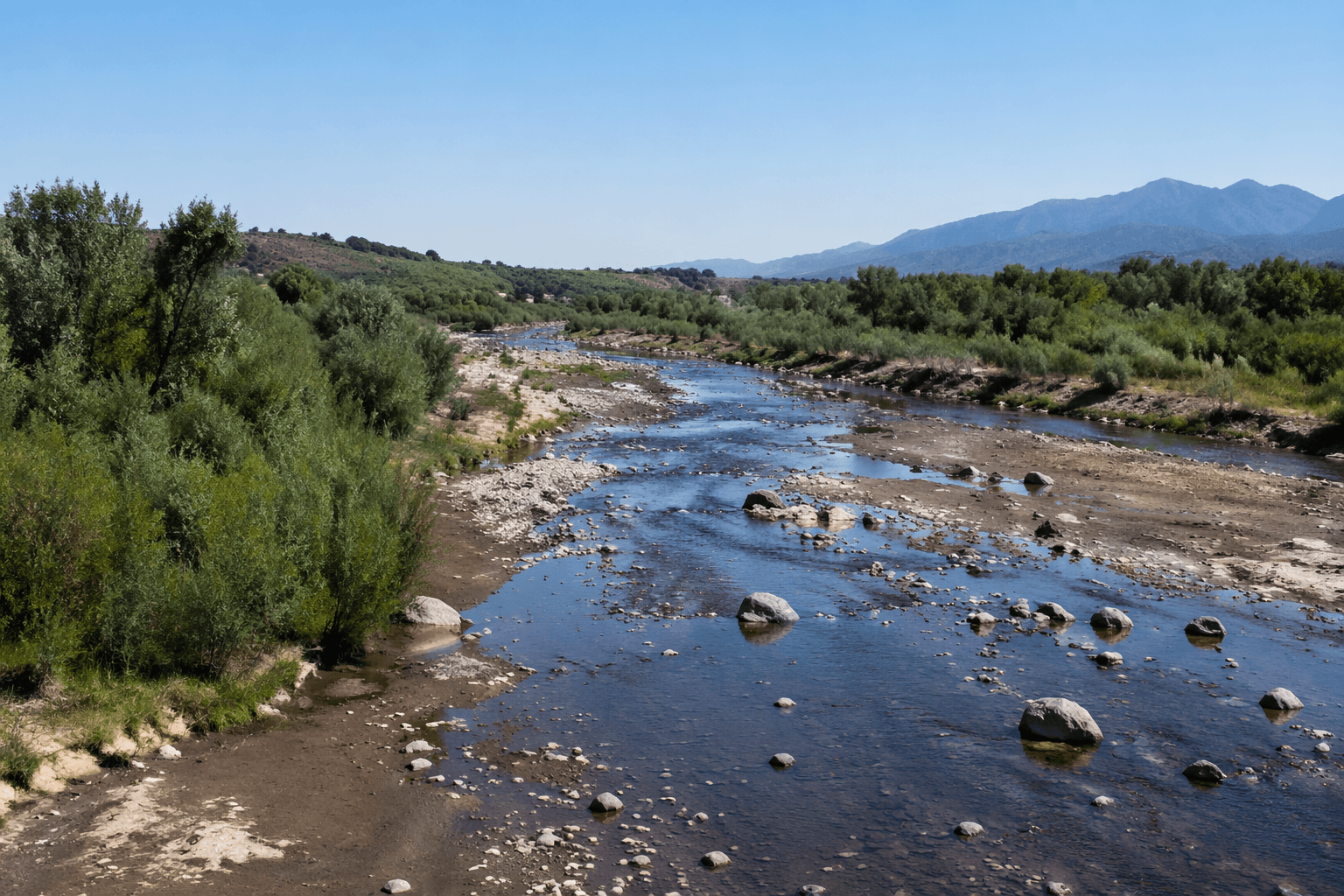
For White Rock and the communities downstream, that means less water moving through the river corridor during the hottest part of the year, when low flows can sharpen wildfire concerns, reduce recreational opportunities and push water temperatures higher. Local reporting in mid-May said spring runoff was among the weakest in memory across northern New Mexico, with streamflows far below normal at Taos Junction Bridge, Cerro and Embudo, where trout habitat was already showing stress.
The pressure on water supplies is not limited to the river itself. Los Alamos County’s Department of Public Utilities supplies water to Los Alamos, White Rock, Los Alamos National Laboratory and Bandelier National Monument. The county says its long-range water supply plan was last updated in January 2018 and is now being revised because demand and environmental conditions have changed. County officials have also been updating the Water and Energy Conservation Plan and held public engagement sessions in March for new conservation ideas.
Those planning efforts are unfolding as federal projections point to heavier demand from the laboratory. A May report cited Department of Energy projections that LANL’s expansion would require about 504 million gallons of water a year, or roughly 1.4 million gallons a day, for at least another decade. The plan includes a 100,000-square-foot facility for artificial intelligence supercomputers, one or more microreactors and facilities for staging nuclear waste. Concerned Citizens for Nuclear Safety executive director Joni Arends said the expanded lab would use more water in one day than the average farmer uses in a year.
John Irizarry, acting Albuquerque area manager for Reclamation, said the agency has had many years to prepare during this third decade of extended drought and would work with stakeholders to stretch the available supply as far as possible. For Los Alamos County, the river’s record-low gauge near White Rock suggests the runoff season may already be failing before summer has even begun.
This article was produced by Prism’s automated news system from verified source data, official records, and press releases, then run through automated quality and moderation checks before publishing. The system is built and supervised by the people who set the standards it runs under. Read our full AI policy.
Did this article answer your question?