Santa Fe National Forest Planned Pile Burns Near Los Alamos
The Santa Fe National Forest announced planned prescribed pile burns across the Española, Jemez, and Cuba Ranger Districts beginning the week of December 1, with operations estimated to continue through the winter as weather and conditions allow. The burns aim to reduce flammable fuels to protect communities and infrastructure, but residents will face temporary closures and smoke impacts that require monitoring and precautions.
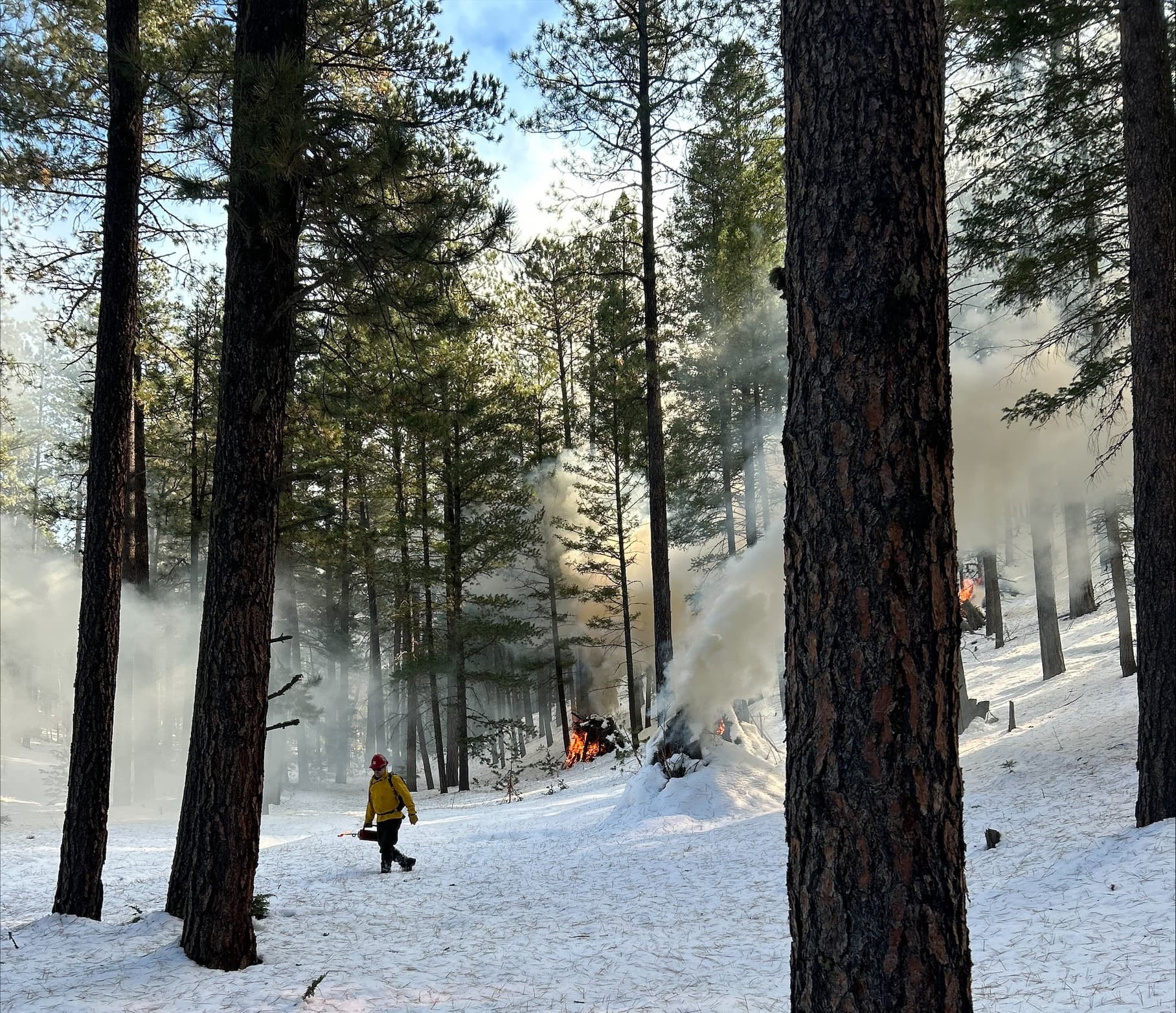
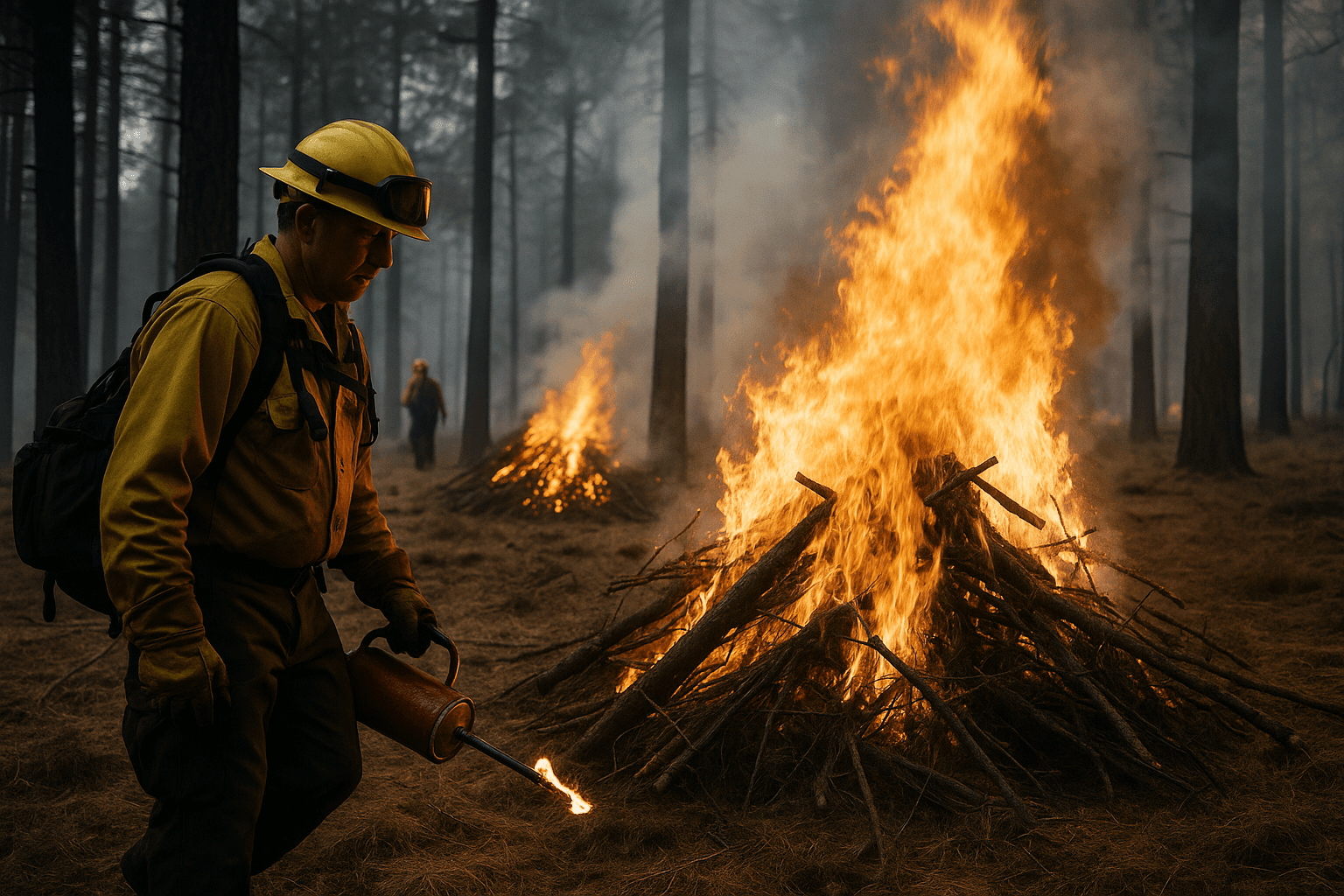
On November 29 the Santa Fe National Forest announced that it would begin prescribed fire pile burns in the Española, Jemez, and Cuba Ranger Districts as early as the week of December 1. The agency said the work was intended to treat slash created by thinning crews and to reduce overgrown vegetation that fuels wildfires, and that the effort could continue through the winter depending on conditions.
Planned pile burn locations included three sites on the Española Ranger District with potential starts on December 2. Those sites were Hyde Park North Ridge Piles covering 42 acres north of Black Canyon Campground, Thompson Ridge Piles covering 146 acres near McClure Reservoir, and Tesuque Piles covering 485 acres north of Santa Fe near Hyde Park Road and Forest Road 102. In the Jemez Ranger District planned burns with potential starts on December 2 and 3 included San Diego Egress Piles covering 17 acres along Ponderosa Road off State Road 4, and a Thompson Ridge Burn Pit of 0.5 acre that the agency described as burns of community collected defensible space slash. The Cuba Ranger District listed potential December 2 starts at American Park Hand Piles covering 28 acres, Rock Creek Landing Piles covering 208 acres, and Tusas West Unit Piles covering 224 acres.
The agency emphasized that decisions to proceed would depend on multiple factors, including snowpack, air quality, ventilation, forecast weather and wind, and resource availability. Areas may close to the public for several days for safety. Residents could experience smoke during burns and were advised to monitor AirNow for air quality updates. Drivers encountering smoke were instructed to slow down and use headlights. The agency said it would evaluate conditions before each burn and cancel if warranted.
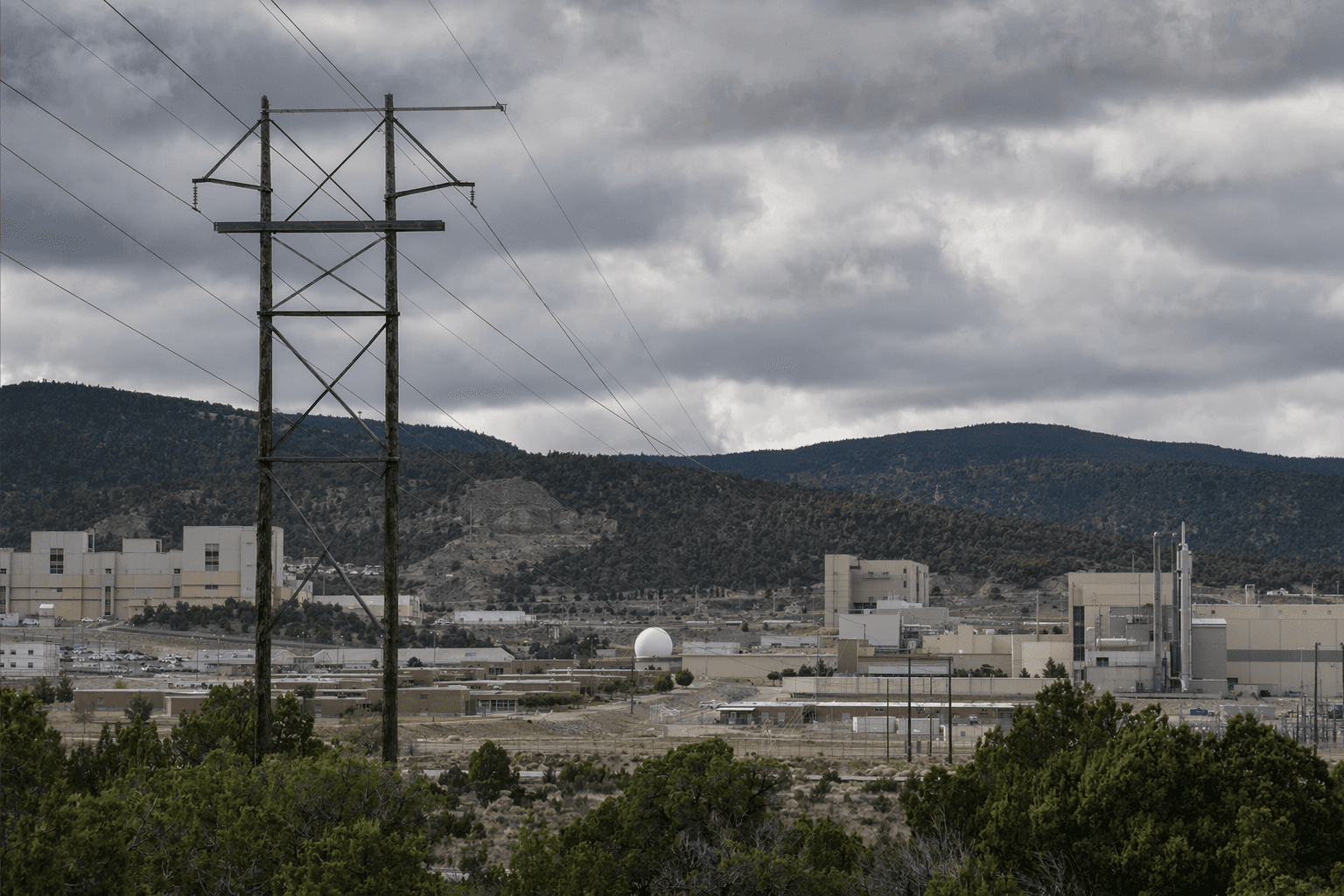
For Los Alamos County the prescribed burns represent a trade off between short term smoke and long term wildfire risk reduction. The operations reduce fuels near wildland urban interface and infrastructure but place a premium on transparent public notice, real time air quality monitoring, and clear closure protocols. Residents should monitor official updates and AirNow, and take precautions during any smoke events.
Know something we missed? Have a correction or additional information?
Submit a Tip