SunZia corridor cuts through New Mexico's national security landscape
SunZia’s power lines are colliding with LANL’s security corridor and tribal land rights. The fight could shape how federal land decisions are made around Los Alamos.
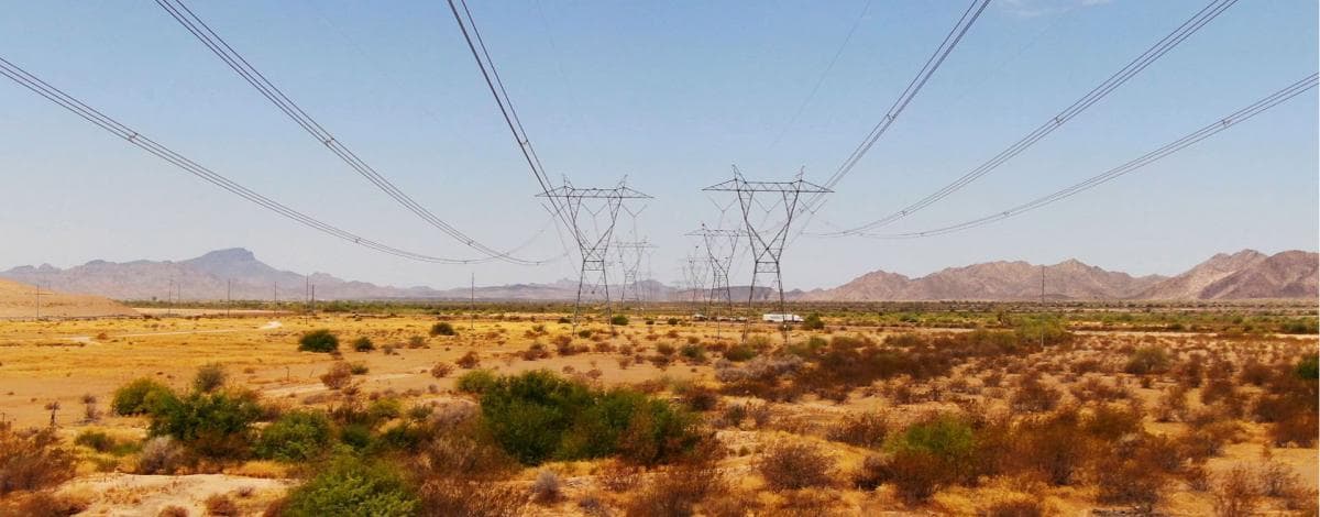
A corridor built for clean power is now running through one of New Mexico’s most sensitive security landscapes
SunZia is not just another transmission project crossing the desert. It is moving through a state where Los Alamos National Laboratory and Sandia National Laboratories anchor the national-security economy, while tribal, federal and state land decisions continue to shape who controls the terrain between New Mexico and Arizona. For Los Alamos readers, the practical issue is not only where the line runs, but how this fight could influence future decisions around DOE-managed land, access routes, and the way federal agencies handle large infrastructure near the lab.
What SunZia is, and where it cuts across New Mexico
Federal permitting materials describe SunZia Southwest Transmission as two planned 500-kV lines running roughly 520 to 550 miles across federal, state and private lands from central New Mexico into central Arizona. The New Mexico portion is placed in Torrance, Socorro, Sierra, Luna, Grant and Hidalgo counties, with the route beginning at the planned SunZia East Substation in Torrance County and ending near the Saguaro and Pinal Central substations in Arizona.
Pattern Energy describes the combined SunZia Wind and Transmission buildout as the largest clean-energy infrastructure project in United States history. The package has been described as an $11 billion investment, with SunZia Wind sized at 3.5 gigawatts and about 950 turbines spread across Torrance, San Miguel and Lincoln counties. Construction began in 2023, financing of $11 billion was announced in late December 2023, and project materials now point to operations beginning in 2026.
Why Los Alamos should treat this as a local land-and-security issue
Los Alamos National Laboratory says it is a national-security laboratory that works with the U.S. Department of Energy and the National Nuclear Security Administration. DOE says LANL was established in 1943 as Site Y of the Manhattan Project, and NNSA describes it as a design laboratory responsible for the safety and reliability of the nuclear explosives package in nuclear weapons. Sandia National Laboratories traces its roots to the Manhattan Project as well, beginning in 1945 as Z Division at Los Alamos.
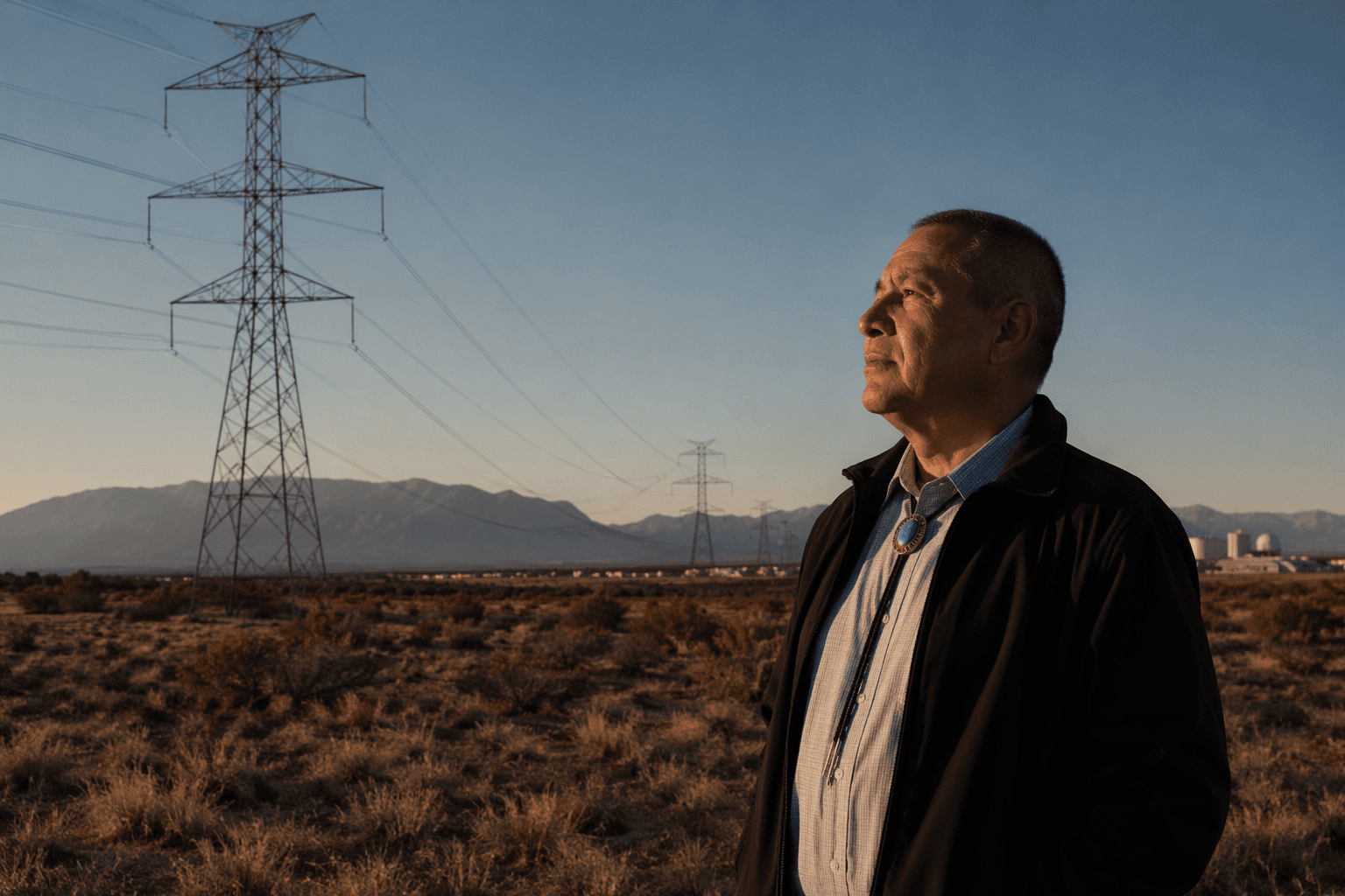
That history matters because New Mexico’s role in national security did not begin with renewable energy. The state has long hosted infrastructure tied to nuclear science, weapons stewardship and communications, so new transmission projects are landing in terrain already shaped by federal security priorities. For Los Alamos, the question is less whether SunZia alone crosses the townsite, and more whether the precedent it sets could affect how future power corridors, access routes and communications infrastructure are approved around DOE-managed lands in the north.
LANL’s own materials show why utility corridors are not abstract here. A separate Electrical Power Capacity Upgrade Project would run a proposed transmission line from the Norton Substation to the LANL Switching Station and include a fiber-optic line to improve communications to both LANL and the Los Alamos townsite. That is a reminder that power infrastructure is woven into national-security operations, not bolted on afterward. A Forest Service environmental assessment also says a proposed transmission line would cross White Rock Canyon onto DOE-managed lands at LANL in Los Alamos County, reinforcing how tightly energy planning and lab land use already overlap.
The sovereignty fight at the center of the case
SunZia has also become a tribal sovereignty dispute, not just a siting dispute. The Tohono O'odham Nation, San Carlos Apache Tribe, Center for Biological Diversity and Archaeology Southwest have challenged federal approvals, arguing that the government failed to properly consult on cultural and historic resources. In 2025, the Ninth Circuit revived the tribes’ lawsuit, keeping the legal fight alive even as construction and financing moved ahead.
Tohono O'odham Nation Chairman Verlon Jose put the dispute in terms that resonate far beyond one project. He said the Nation supports clean energy “when it is done the right way,” but argued that the federal government failed to work with tribes to protect cultural resources. That is the core tension in this corridor: who gets to decide when a national project crosses Indigenous lands, federal lands and historic places, and whether consultation is meaningful or merely procedural.
New Mexico Gov. Michelle Lujan Grisham has remained publicly supportive of the line and has said she believes SunZia will get built. That state backing gives the project political momentum, but it does not erase the legal and cultural objections that are still moving through the courts. The result is a classic federal land conflict with unusually high stakes, because it blends climate infrastructure, tribal rights and national-security geography into one corridor.
Who is deciding now, and what it means for Los Alamos
The main decisions now sit with federal permitting and court processes, not with local governments alone. The Bureau of Land Management’s project materials, the federal permitting dashboard and related environmental review documents frame the route as a major multi-state undertaking under FAST-41, which means the federal government has treated it as a high-priority infrastructure project. Pattern Energy is driving the buildout, while federal agencies continue to manage the land, permitting and legal exposure.
For Los Alamos County, the immediate concern is precedent. If the courts and agencies allow a line of this scale to move across sensitive tribal and federal landscapes with the current approvals intact, that outcome can shape how future projects are handled near the lab, in White Rock Canyon and across the broader federal land network in northern New Mexico. The direct local effect is less about a single SunZia tower at LANL and more about whether the rules for crossing security-linked land are becoming easier to bend.
What to watch as the project advances
SunZia is already deep into construction, and the workforce numbers show how large the operation has become. Project materials have cited roughly 2,000 workers at peak construction, including about 500 on the transmission line and 1,500 on the wind farms. That scale means the project is not a concept on paper, but a physical buildout that is reshaping land use decisions now.
- whether the Ninth Circuit litigation changes federal approvals or consultation requirements
- whether the SunZia corridor influences future transmission or fiber routes near DOE-managed land
- whether New Mexico’s support for the project becomes a broader precedent for energy infrastructure near national-security sites
- whether agencies treat tribal consultation and cultural resource protection as central to future corridor planning
For Los Alamos readers, the most important markers are straightforward:
New Mexico has spent more than 80 years living with the world created at Los Alamos and Sandia. SunZia is now testing how that legacy interacts with the state’s clean-energy ambitions, and the answer will help define how sovereignty, security and infrastructure are balanced across the region for years to come.
Know something we missed? Have a correction or additional information?
Submit a Tip