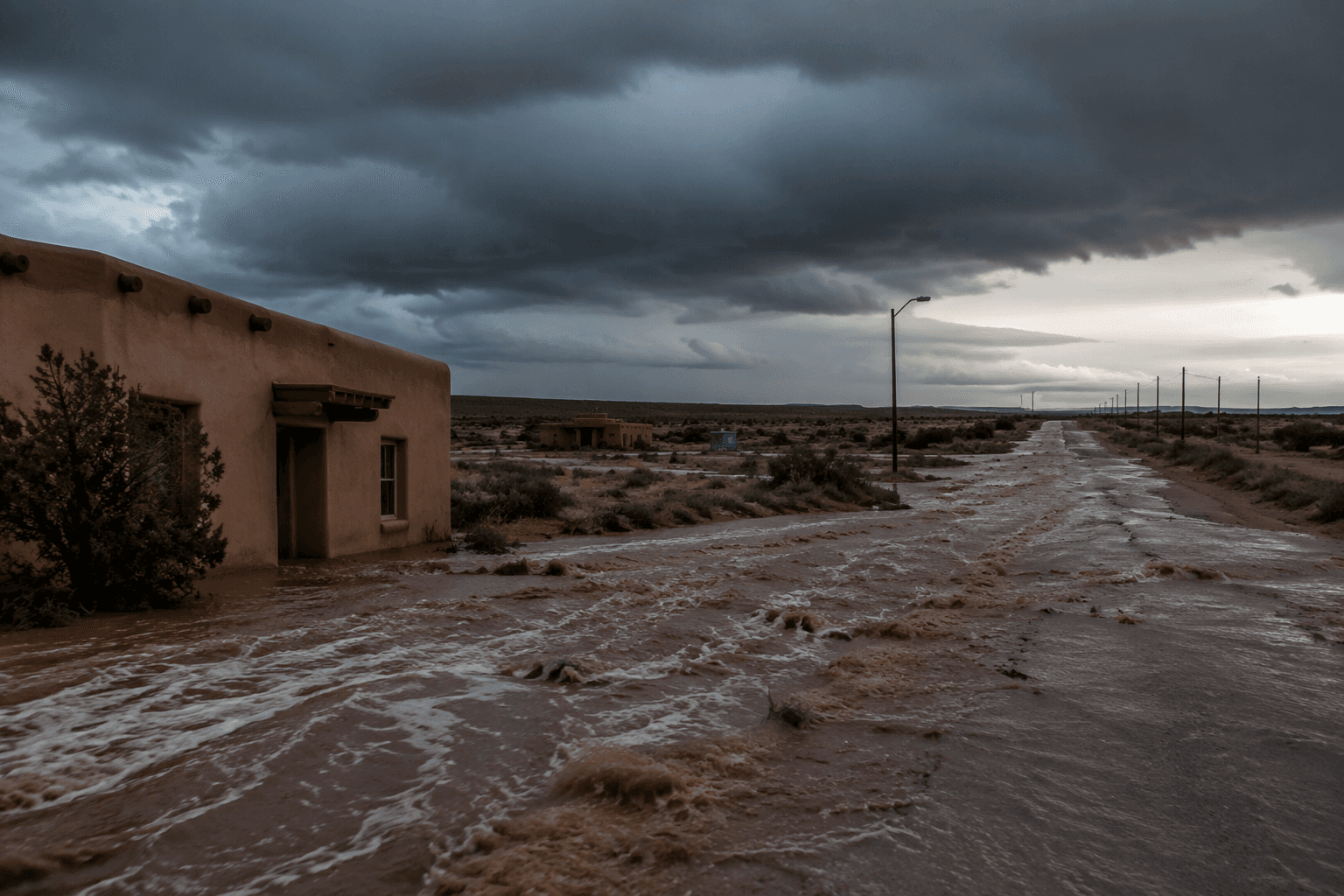
McKinley County sits in New Mexico’s vast Zuni-Bandera volcanic field
Western McKinley County sits on a 950-square-mile volcanic field, where dark basalt, cinder cones, and Zuni Pueblo connections still shape the ground people cross every day.
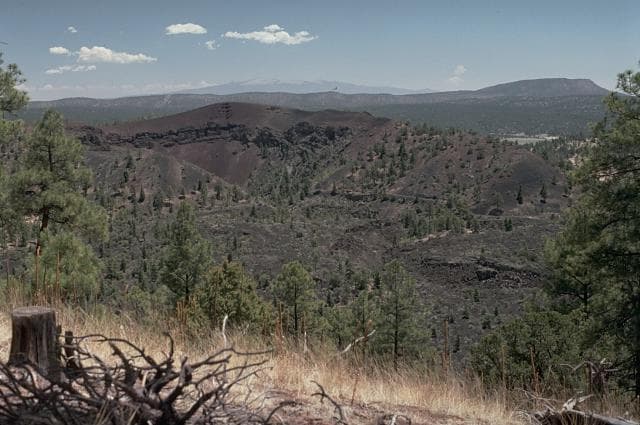
McKinley County sits inside the Zuni-Bandera volcanic field, a broad volcanic province that stretches across about 2,460 square kilometers, or 950 square miles, of west-central New Mexico. For anyone driving the county’s back roads or looking out across the black rock outcrops and cinder hills, the ground itself is part of a much larger eruption history.
What the volcanic field is doing beneath McKinley County
A volcanic field is different from the single peak most people picture when they hear the word volcano. The Zuni-Bandera field is monogenetic, which means it was built by many separate eruption centers over time rather than one long-lived mountain. It is a line of vents with dozens of cinder cones, lava flows, and shield volcanoes, and a USGS-linked map gives it a north-south length of about 100 kilometers, or 60 miles.
Basalt-strewn ground, low cinder hills, and lava surfaces are pieces of a volcanic field that records repeated eruptions across a wide swath of country.
Where residents can recognize it on the ground
The New Mexico Museum of Natural History & Science groups the Zuni-Bandera field and McCarty’s Lava Flow field together as part of the volcanic landscape of west-central New Mexico. Multiple lava fields and volcanic forms are stitched into the region around McKinley County, Zuni Pueblo, and nearby public lands.
A 1993 field-trip guide to the geochronology of El Malpais National Monument and the Zuni-Bandera volcanic field included a cover diagram that looked north toward Mount Taylor, with the youngest lava flows shown as the darkest tones. In the field, the freshest basalt often appears as the darkest rock, a visual clue that links road cuts, lava benches, and open slopes to the county’s geologic past.
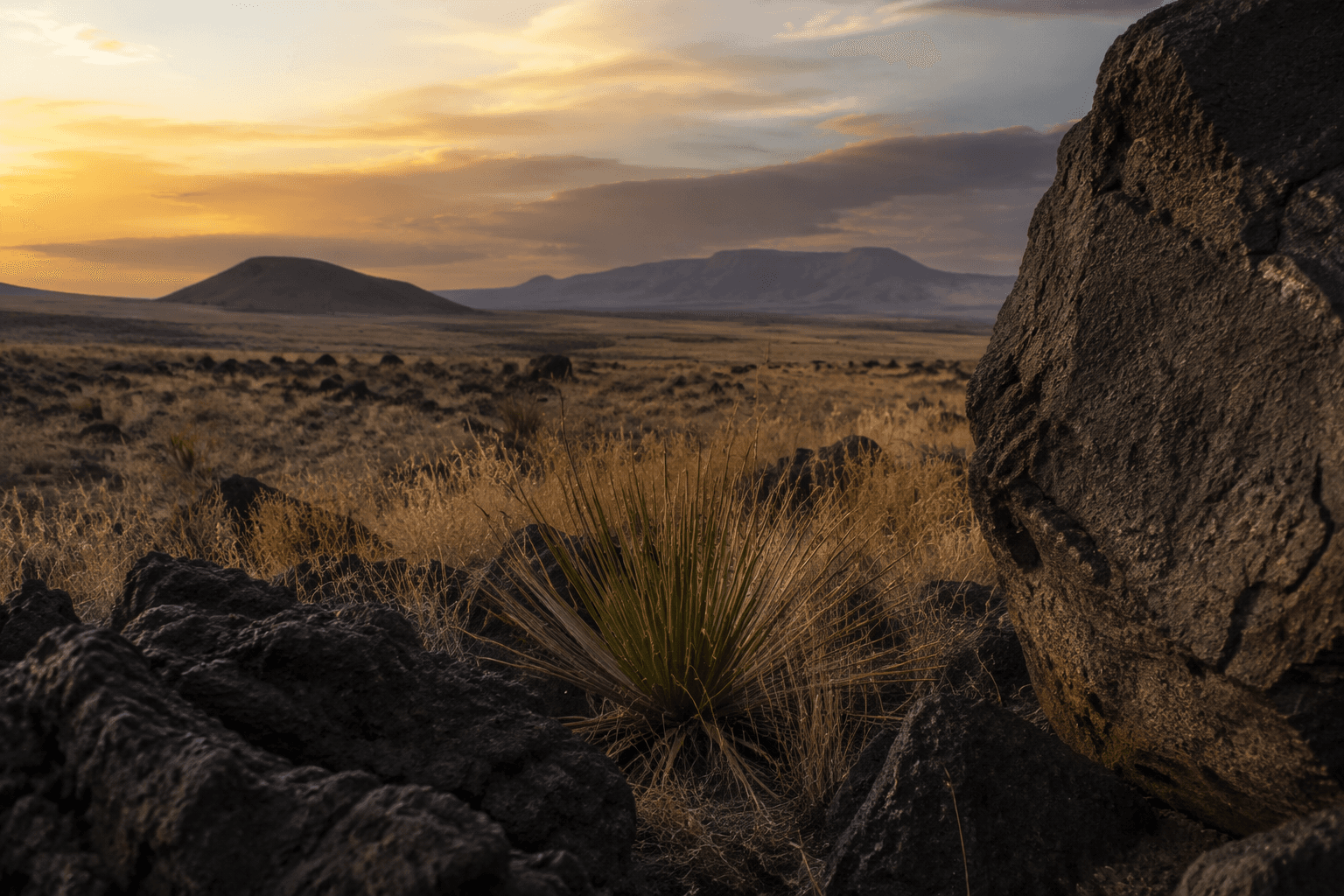
Volcanic fields in northern New Mexico, including El Malpais and Zuni-Bandera, also form a line across the state.
Why Zuni Pueblo is central to the story
The Pueblo of Zuni considers archaeological sites part of the cultural heritage of the Zuni people and has passed a tribal antiquities ordinance that makes it a criminal offense to excavate, remove, destroy, or desecrate artifacts, archaeological sites, or places of sacred importance on the reservation. Cultural resources are fundamental to religious freedom for the Pueblo of Zuni.
Those cultural resources can include archaeological sites, human burials, shrines, rivers, springs, trails, plants, animals, and minerals. If you are traveling in or near Zuni homelands, stay on public roads and respect access restrictions.
Zuni Pueblo is about 38 miles southwest of Gallup and is the largest of the nineteen New Mexican Pueblos, covering more than 700 square miles with a population of over 10,000.
How scientists have dated the lava
Researchers have studied the Zuni-Bandera field for decades. An OSTI-listed technical report titled Geologic and geophysical investigations of the Zuni-Bandera volcanic field, New Mexico was published in May 1981 and named M. E. Ander, G. Heiken, J. Eichelberger, A. W. Laughlin, and S. Huestis as authors. A 1993 field-trip guide focused on geochronology in the field and at El Malpais National Monument.
In 2004, Nelia W. Dunbar and Fred M. Phillips sampled seven basaltic lava flows from the Zuni-Bandera volcanic field for cosmogenic 36Cl dating. That kind of work helps geologists estimate when lava cooled and the ground solidified. New Mexico Bureau of Geology material associated with that research places the last eruption at about 3.9 ka, or roughly 3,900 years ago.
The Smithsonian Institution’s Global Volcanism Program lists Zuni-Bandera as a volcanic field in the Basin and Range Volcanic Province and gives the last known eruption as 1170 BCE. A 2008 paper places the field on the boundary of the stable Colorado Plateau and the active Rio Grande Rift, the tectonic setting behind the volcanism there.
What to look for when you are out there
If you are driving, hiking, or sightseeing through western McKinley County, the field reads like a roadside lesson in volcanic geology:
- Dark basalt often marks the youngest flows on geologic maps.
- Cinder hills and cones signal old eruption centers scattered across the field.
- Broad, flat lava surfaces can break into rough, jagged rock that changes how roads and open ground feel underfoot.
- The north-south spread of the field makes the volcanic pattern feel regional, not local.
- In and around Zuni Pueblo, cultural protections mean the land should be treated as a lived homeland.
This article was produced by Prism’s automated news system from verified source data, official records, and press releases, then run through automated quality and moderation checks before publishing. The system is built and supervised by the people who set the standards it runs under. Read our full AI policy.
Did this article answer your question?