Heavy rain could flood roads near Neopit before dawn
Heavy rain stretched from near Shawano to Neopit before dawn, with up to 2 inches possible and minor street flooding on low-lying roads.
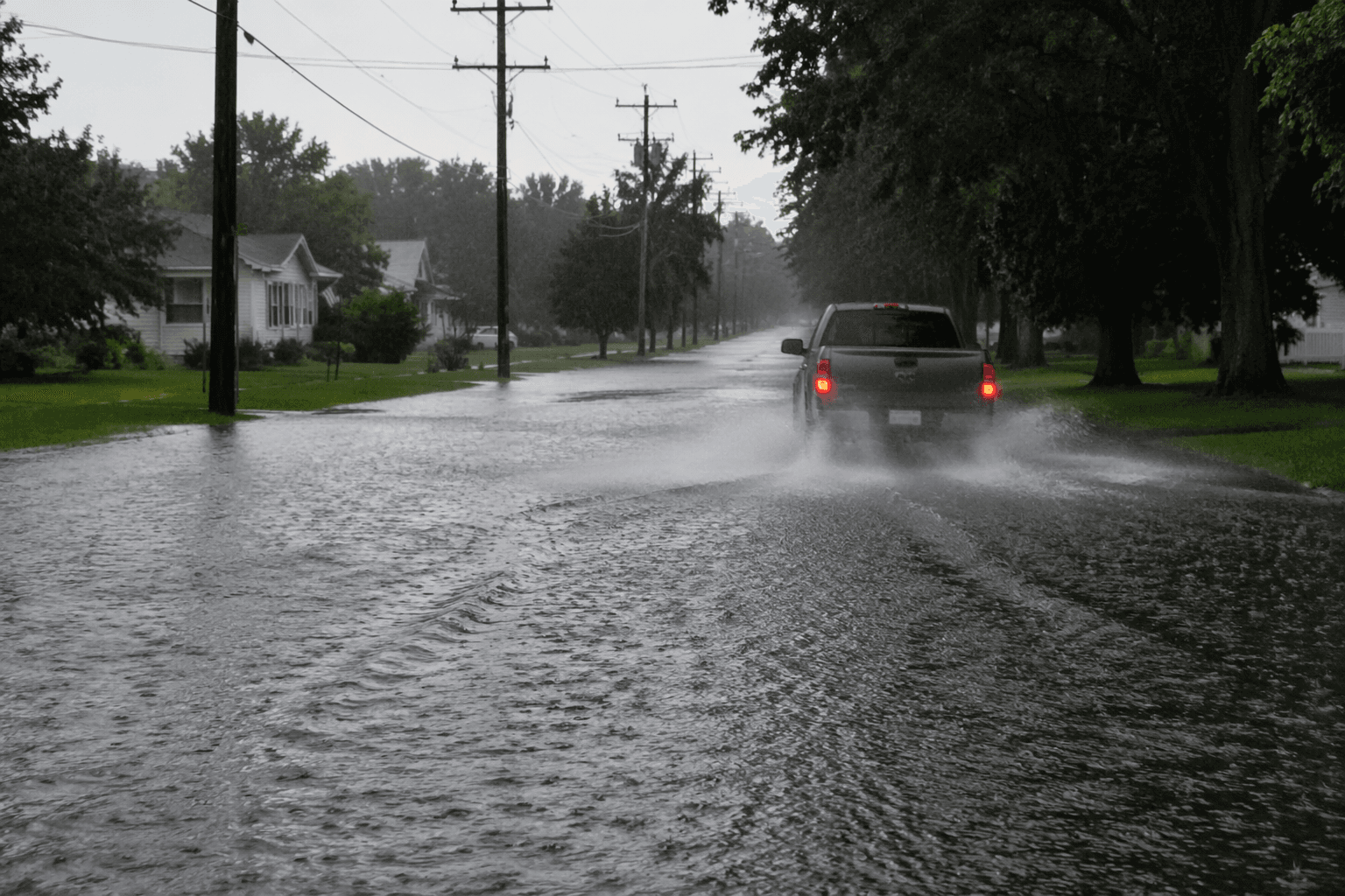
A band of moderate to heavy rain stretched from near and north of Shawano through Neopit and toward Antigo before dawn, putting Menominee County roads at risk for ponding, reduced visibility and minor flooding. The National Weather Service in Green Bay issued a special weather statement at 2:53 a.m. CDT on June 9, effective until 3 a.m., and said another 1 to 2 inches of rain, with locally higher amounts, could fall through about 5 a.m.
The alert warned drivers to slow down where water was collecting on highways because ponding could trigger hydroplaning. That mattered most in the early-morning hours, when commuters, school buses, work crews and delivery traffic were more likely to be on the road before sunrise and visibility was already limited by darkness and rain.
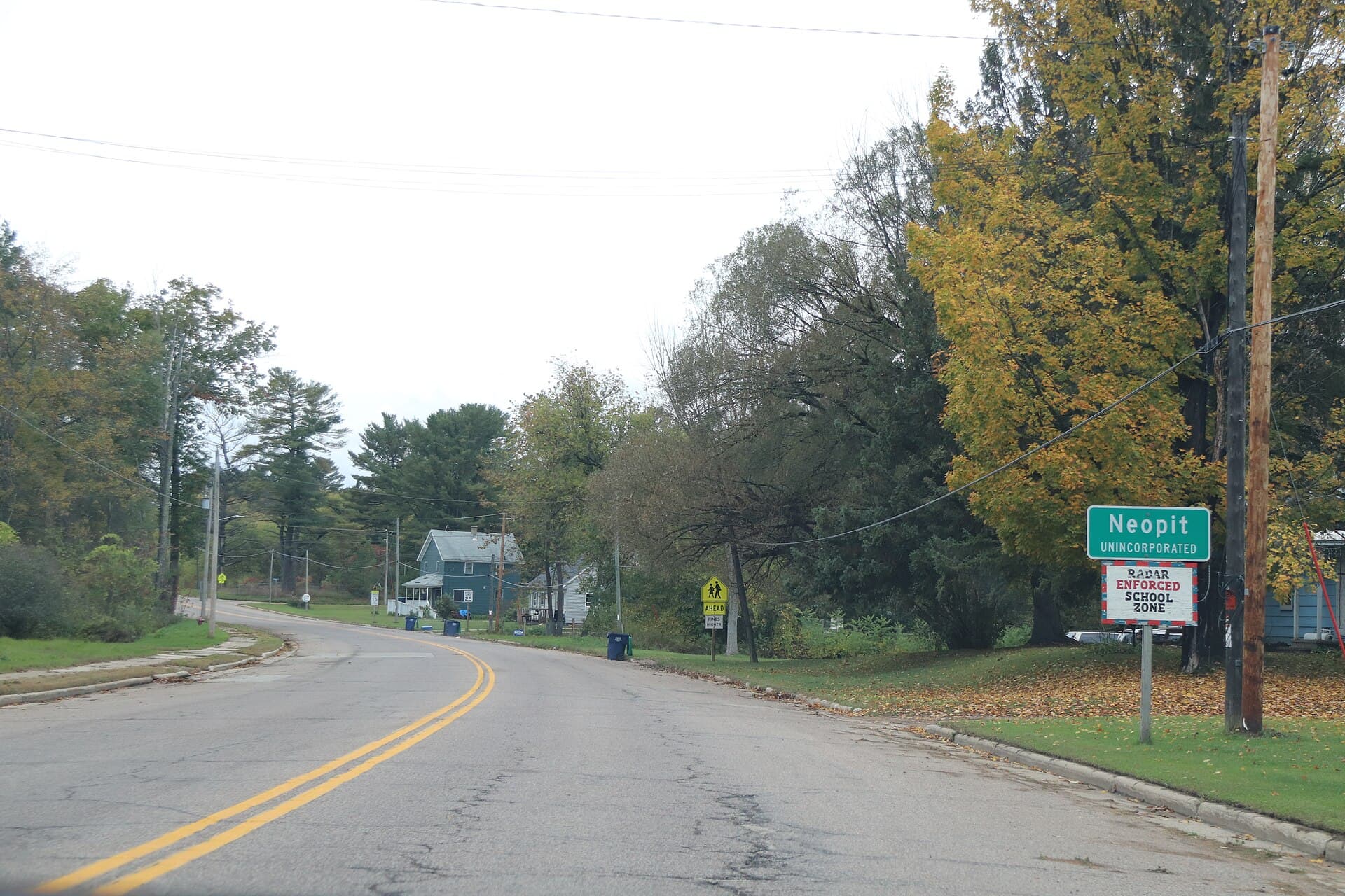
Menominee County was included in the area description, and Neopit sat in the center of the concern. Neopit is an unincorporated community in the Menominee Indian Reservation area, where low-lying rural roads can take on water quickly when a rain band stalls or drainage cannot keep up. Even a short burst of heavy rain can turn a routine drive into a slow, hazardous trip through slick pavement and standing water.
The overnight statement fit a broader weather pattern that the National Weather Service office in Green Bay had already flagged for Menominee County. Its Hazardous Weather Outlook for June 8 and 9 called for scattered showers and storms with locally heavy rainfall possible, and the area forecast discussion on June 8 also said locally heavy rainfall totals were possible, especially with any storms.
That broader context matters in a county where water has become a recurring public-safety issue. The Green Bay office’s spring flooding summary documented major flooding on the Menominee River near McAllister and a record stage at White Rapids during the 2026 flooding season, a reminder that both river flooding and roadway flooding can escalate quickly in northeast Wisconsin. For drivers near Neopit, the immediate message was simple: expect changing conditions, avoid water-covered pavement when possible, and give drainage crews time to clear any problem spots.
This article was produced by Prism’s automated news system from verified source data, official records, and press releases, then run through automated quality and moderation checks before publishing. The system is built and supervised by the people who set the standards it runs under. Read our full AI policy.
Know something we missed? Have a correction or additional information?
Submit a Tip