Menominee County updates land information system for property and boundary searches
Menominee County’s parcel maps help with boundary checks, taxes and sales history, but the county says GIS is a guide, not a survey. PLSS corners and official data still matter.
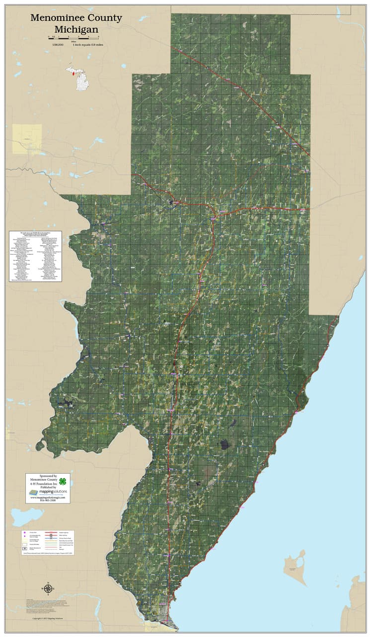
Menominee County’s land map system is often the first stop when a fence line, a deed question or a building plan gets complicated. The county’s own GIS and land records tools are built to help people sort out parcel lines, ownership, zoning-related context and nearby land use before a dispute or purchase becomes costly.
How Menominee County’s system is organized
The backbone is the Menominee County Land Information Plan 2022-2024, which the Menominee County Land Information Council approved on December 13, 2021, then approved an amendment to on April 18, 2022, and amended again on January 31, 2023. The plan is part of the Wisconsin Land Information Program under the Wisconsin Department of Administration, so Menominee County’s work also fits a statewide land records framework.
The county’s GIS/Land Information department page is a standing public service tied to the county’s parcel, survey and land records work, and it sits alongside the county’s digital data policy and tax parcel portal.
Where the map helps in everyday county questions
For a homeowner, the most immediate use is checking a parcel line before a repair, sale or addition. Menominee County’s real estate tax parcel system is online through the county’s land records portal, which advertises real estate property and tax information, personal property and tax, real estate sales history, and real estate survey info. That combination lets a resident move from a parcel number to tax records and sales history without jumping between separate offices.
The same tools are useful if a buyer wants to compare what a deed says with what the map shows, or if a township official needs a fast look at neighboring parcels before a permit question reaches a meeting agenda.
Three common scenarios residents run into
A new buyer looking at a rural lot may want to know whether the driveway, shed site or well area stays within the parcel. The county portal can help with parcel identification, sales history and survey references, while the GIS map can show the general layout of surrounding land.
A neighbor dispute over a fence or tree line is another common use case. The county’s GIS site is a general guide to property and land information and does not represent a survey of real property, which means it can help narrow down the issue but cannot replace a survey when the line is legally contested.
A contractor or township official planning work near a road, wet area or steep ground may also start with the parcel map, then layer in additional information. Third-party mapping platforms such as Acres list 2,219 parcel records in Menominee County and offer layers including parcel boundaries, owner names, soils, elevation and flood data. Those outside tools are not the county’s official record.
Why PLSS corners matter so much here
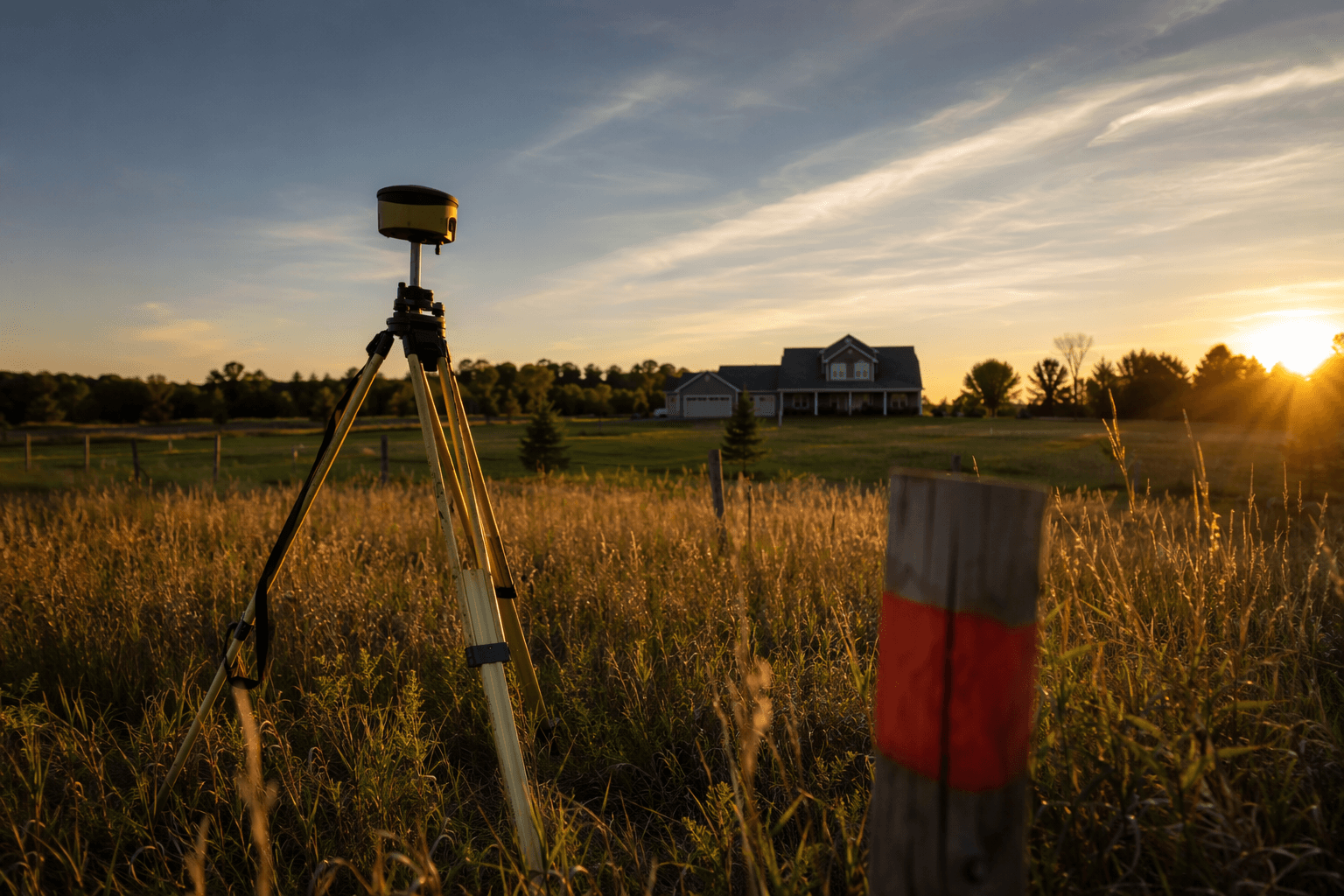
Menominee County’s land system depends on the Public Land Survey System, or PLSS, which is the framework used to organize land descriptions across Wisconsin. Parcel lines, deeds and survey monuments often have to line up with corner locations and corner tie sheets, especially in places where county, town and reservation geography meet.
Wisconsin’s State Cartographer’s Office Survey Control Finder is a free application for locating Wisconsin PLSS corners and often links users to county websites for corner tie sheets.
What the county says the map can and cannot do
The most important limitation is the county’s own warning: GIS is a guide, not a survey. For property disputes, title work and any project where exact boundary placement matters, a map can show useful context without establishing a legally binding line on the ground.
That is where residents still need to call the county or hire a survey professional. If the map, deed and fence line do not agree, the county GIS staff can help explain the parcel record, but a survey is the tool that settles the physical boundary question.
How data access and costs work
Menominee County’s Digital Data Policy lays out the practical rules for getting digital GIS data. The county sells GIS digital data under an attached price schedule, media charges are separate, purchase orders from municipalities are accepted, and prepayment is required for all other entities.
If a search needs official digital data, the county has a defined process, and if a search needs a legal boundary, the GIS page points users back to the fact that the map is not a survey.
The county traces its history to Native American settlement, early French exploration, and 19th-century lumbering and trade.
This article was produced by Prism’s automated news system from verified source data, official records, and press releases, then run through automated quality and moderation checks before publishing. The system is built and supervised by the people who set the standards it runs under. Read our full AI policy.
Did this article answer your question?