Cold Front Triggers Gale Warnings and Extended Cold in Monroe County
A late cold front drove northwest to north winds into Monroe County, prompting gale warnings and a week-long stretch of below-normal temperatures that affect boating, tourism, and vulnerable residents.

A late-afternoon cold front blasted through Monroe County waters on Jan 26, sending sustained northwest to north winds to near gale and prompting marine warnings across the Florida Keys. Gale Warnings covered the SE Gulf, Bayside/Gulfside waters, the Hawk Channel and the Straits of Florida west of Craig Key, while all other local zones were placed under Small Craft Advisories. The shift marked a sharp change from milder conditions and has ongoing implications for marine safety and local operations.
Winds from the back half of the surface trough freshened substantially, producing near gale sustained winds on reef observations and gusts to near gale. The 00z KKEY sounding captured the middle of the frontal passage, showing extremely moist but low instability in the lower to mid levels and dry air beginning around 500 mb. GOES-19 Nighttime Microphysics imagery later revealed gaps in the early overcast. Observed temperatures tumbled into the mid 60s the evening of the frontal passage, with dew points in the upper 50s creating a noticeably drier and colder sensible environment than 24 hours earlier.
The cold air mass behind the front, combined with one or possibly two reinforcing fronts, has a strong potential to keep temperatures well below normal for the duration of the week. Forecasts at the time of the passage called for overnight lows near the upper 50s and daytime highs in the upper 60s, with additional periodic wind surges likely as subsequent frontal impulses cross the region. Winds were expected to remain elevated through the night following the passage and to ease by the late morning of Jan 27 as breezes veered to the north to northeast; however, forecasters warned those easings could be temporary.
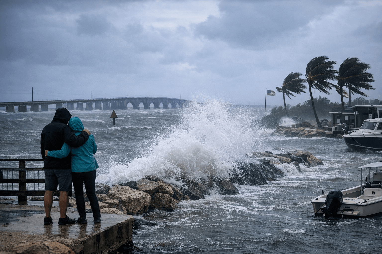
The immediate local impact is concentrated on maritime activity and outdoor commerce. Charter fishing, dive operations, and private boat traffic face hazardous seas that may become rough to very rough during wind surges. Ferry and inter-island transit schedules may see disruptions, and marinas should prepare for increased wind and wave action. Onshore, colder, drier air raises short-term risks for the county’s outdoor workforce, the unhoused population, and seasonal tourism operators who rely on predictable weather windows.
For county officials and emergency managers, the event underscores the need to coordinate marine advisories with harbor masters, tourism partners, and outreach services for vulnerable residents when reinforcing fronts arrive. Residents should monitor local advisories and expect a cooler, blustery stretch through the week. The story now shifts to how reinforcing fronts evolve and how quickly winds and temperatures normalize, with continued attention needed on marine safety and community support for those most affected.
This article was produced by Prism’s automated news system from verified source data, official records, and press releases, then run through automated quality and moderation checks before publishing. The system is built and supervised by the people who set the standards it runs under. Read our full AI policy.
Did this article answer your question?