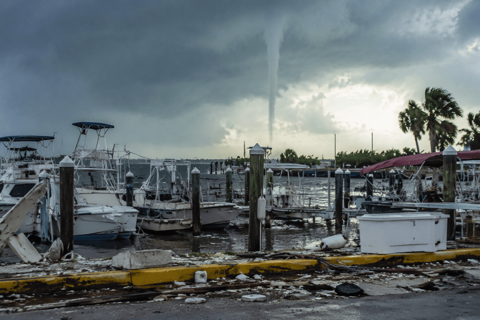
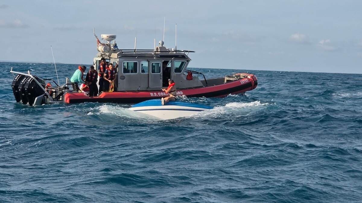
Marine warning issued for Straits of Florida, boaters urged to seek shelter
A special marine warning covered the Straits of Florida from Ocean Reef to Craig Key until 3 a.m., with thunderstorms racing north at 20 knots.

National Weather Service Key West issued a special marine warning for the Straits of Florida from Ocean Reef to Craig Key and the west end of Seven Mile Bridge, telling boaters to seek shelter before conditions worsened. The warning was in effect until 3 a.m. EDT and covered the offshore waters where sudden squalls can turn a routine run into a dangerous overnight crossing.
The alert came as strong thunderstorms were moving northwest to north at 20 knots, with wind gusts near 40 knots or greater possible. National Weather Service language for a similar Keys storm warned of gusts above 34 knots, higher waves, frequent lightning and heavy downpours, a combination that can quickly cut visibility and make it difficult to keep a boat under control.
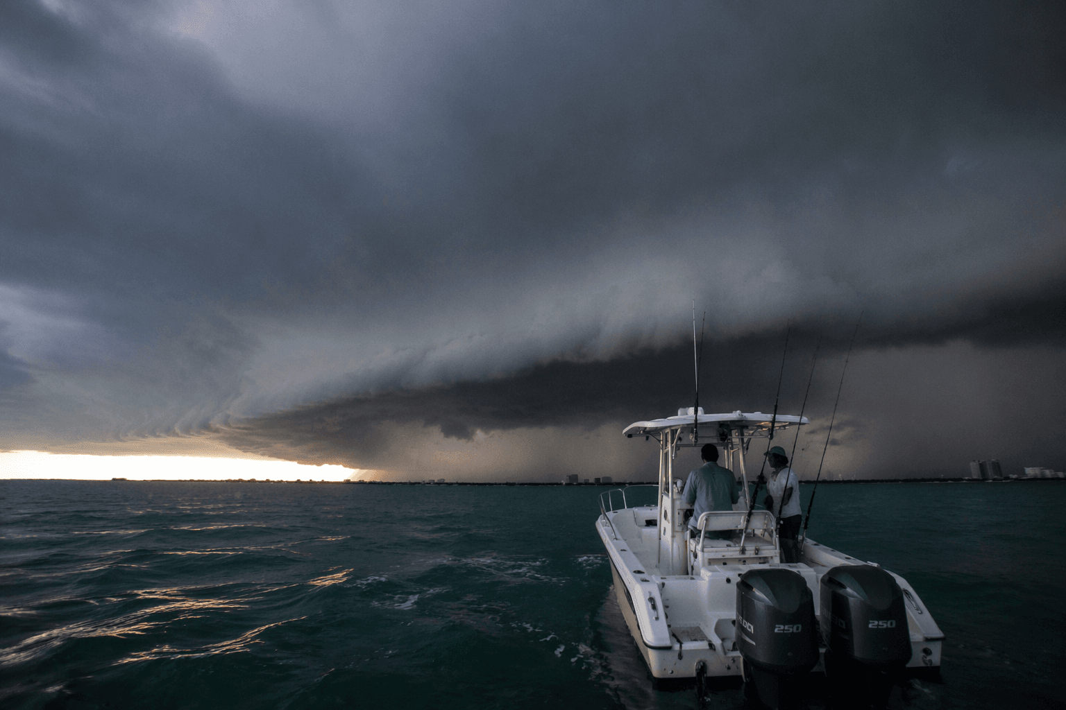
The warning zone stretched across Hawk Channel, Bayside and Gulf side waters near the Upper Keys, Florida Bay and the Straits of Florida from Ocean Reef to Craig Key out 20 nautical miles. For mariners running between Ocean Reef, Key Largo and the Seven Mile Bridge corridor, the immediate call was to get off the water, delay departure or move to safe harbor before the line of storms arrived.
That threat unfolded against an already active overnight marine pattern. National Weather Service Key West’s marine forecast for July 14 said a ridge axis across Central and South Florida was driving gentle to moderate east to southeast breezes, with winds tending to peak during the evening and overnight hours. Seas in the Straits of Florida were forecast at 2 to 4 feet, occasionally reaching 5 feet, with a slight chance of showers and thunderstorms.
The broader forecast also pointed to a large area of Saharan dust over the Keys, a factor expected to keep conditions relatively rain-free through at least the middle of next week. Even so, the warning showed how fast a localized storm can override the larger pattern, especially in the narrow waters between Ocean Reef and Craig Key where the Gulf Stream runs close to the islands.
National Weather Service coastal waters forecasts for the area include the Florida Keys National Marine Sanctuary, and the approximate shoreward edge of the Gulf Stream as of July 12 sat about 2 nautical miles southeast of Carysfort Reef Light off Ocean Reef and 3 nautical miles southeast of Molasses Reef Light off Key Largo. That offshore setup, combined with nighttime wind peaks and fast-moving thunderstorms, left little margin for boaters caught between a storm line and the islands.
This article was produced by Prism’s automated news system from verified source data, official records, and press releases, then run through automated quality and moderation checks before publishing. The system is built and supervised by the people who set the standards it runs under. Read our full AI policy.
Did this article answer your question?