MBARI robot maps seafloor beneath Arctic sea ice near Utqiagvik
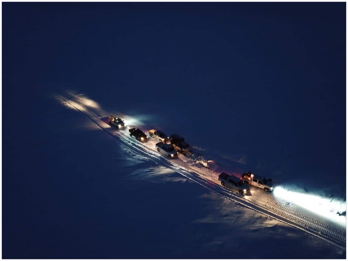
MBARI’s 30-kilogram robot made its first under-ice run off Utqiagvik, mapping seafloor hazards beneath nearly seven feet of Arctic sea ice.
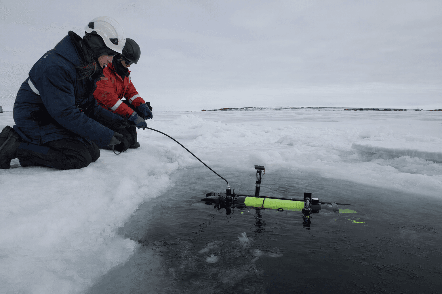
Beneath about two meters of sea ice off Utqiagvik, MBARI’s portable MOLA robot traced the Arctic seafloor with onboard sonar and imaging, a test that could sharpen navigation, offshore planning and hazard mapping on the North Slope.
The March 2026 expedition was the first time MBARI deployed the MOLA autonomous underwater vehicle in a polar environment and the first time it ran under ice. Working in shallow, confined conditions offshore Utqiagvik, the robot completed multiple dives and showed reliable navigation while collecting high-resolution maps of the bottom below nearly seven feet of sea ice.
That matters in a place where the seafloor is not just geology, but working ground for villages, vessels and future industrial activity. MBARI says the surveys can help scientists study benthic ecology and under-ice ecosystems, while the kinds of seafloor features seen in the region, including pingos, craters, slide scars and mud volcanoes, also carry geohazard implications for coastal and offshore planning. For local decision-makers, detailed bathymetry can help identify safer vessel routes, flag unstable areas before infrastructure is sited, and improve decisions about where to place or avoid marine operations near the coast.
The fieldwork was funded by the North Pacific Research Board and carried out with the University of Alaska Fairbanks, the North Slope Borough Department of Wildlife Management and Michigan Technological University. MBARI Postdoctoral Fellow Pushyami Kaveti led the Arctic expedition, while MBARI Principal Engineer Giancarlo Troni leads the CoMPAS Lab that built the robot.
MBARI says CoMPAS Lab spent 18 months developing the MOLA AUV as a lower-cost, portable platform for high-resolution ocean mapping. The vehicle is 45 centimeters wide, 72 centimeters long and weighs 30 kilograms, small enough to be deployed where larger systems would struggle. MBARI says its design specifications and software are intended to be open-source, so other marine scientists can adapt the platform for their own work.
For Utqiagvik and the wider North Slope, the value is practical: better maps can help crews plan offshore logistics, support erosion monitoring along a coastline already under pressure, and give communities and agencies more precise information before making decisions that affect travel, science and future project activity.
This article was produced by Prism’s automated news system from verified source data, official records, and press releases, then run through automated quality and moderation checks before publishing. The system is built and supervised by the people who set the standards it runs under. Read our full AI policy.
Did this article answer your question?