25-Mile Kayak Camping Trip Highlights South Fork Kentucky River Route
Wolfe Creek to Beattyville is more than a scenic float: the 25-mile paddle brings launch points, camping, and tourism traffic into Owsley County.
The 25-mile South Fork Kentucky River route gives Owsley County a practical river trip, not just a pretty view. Launch at Wolfe Creek, camp along the water, and finish in Beattyville over two days, with Booneville sitting squarely on the corridor that makes the whole trip possible.
Where the float starts, and how it runs
The route begins at the Clay and Owsley County line at Wolfe Creek Boat Ramp, then carries paddlers down the South Fork Kentucky River toward Beattyville. That makes it one of the most locally grounded outdoor trips in eastern Kentucky, because the same river that shapes daily life in Booneville also serves as the backbone for a longer camping float.
The South Fork itself is a true county-spanning waterway. The Kentucky Department of Fish & Wildlife Resources says it starts at the confluence of the Red Bird River, Goose Creek, and Bullskin Creek in Clay County, then flows north through Owsley County to its meeting point with the North and Middle Forks in Lee County. Along the way it passes through Oneida, Booneville, and Beattyville, which helps explain why the route has value beyond recreation alone.
For paddlers, the big appeal is scale. A 25-mile kayak-camping trip is long enough to feel like a real expedition, but still close enough to home to fit a weekend or a planned overnight. It is the kind of trip that can draw anglers, campers, and people who want more than a short afternoon float.
What to expect on the water
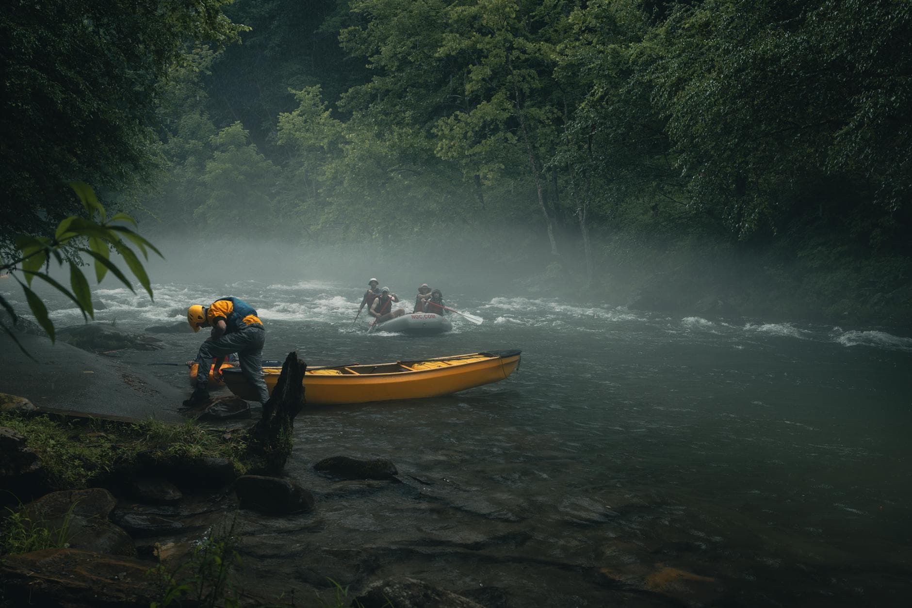
The South Fork is not a technical whitewater run, but it is not a passive drift either. KDFWR describes the river as relatively broad, with shallow to medium depths, mud banks, rock bars, and occasional riffles. That combination matters because it affects where you launch, where you stop, and how much attention you pay to changing water conditions.
Those river features also shape the pace of the trip. Mud banks can make landings messy, rock bars can expose shallow sections, and riffles can add movement where the current tightens. In practical terms, that means the route rewards careful planning and a willingness to adjust, especially when carrying camping gear.
The fishery adds another layer of appeal. KDFWR says anglers on the South Fork can expect smallmouth bass, spotted bass, rock bass, channel catfish, and muskellunge. For a paddling trip, that means the river is not just scenery passing by the boat, but a working fishery that can turn an overnight float into a fishing trip as well.
If fishing is part of the plan, the upper Kentucky River system, including the South Fork and its tributaries, carries a two-fish daily creel limit and an 18- to 26-inch protective slot limit for walleye. That is the kind of rule that matters on a camping trip, where people may be combining paddle time, bank fishing, and a meal around camp.
Launch points that make the route usable
The trip works because Owsley County and Booneville already have public access on the river. Booneville’s city site lists both Fish Creek Boat Ramp and Wolf Creek Boat Ramp as South Fork access points, and KDFWR keeps detailed directions for each site. That makes the route less of a one-off adventure and more of a public access corridor that people can return to.
Fish Creek Boat Ramp is reached by taking KY-11 south of Beattyville into Booneville, turning left onto KY-30, crossing the South Fork, then immediately turning left onto Fish Creek Road. KDFWR says the ramp is about 2.0 miles ahead on the left. That route is useful for anyone trying to stage a pickup, scout a campsite, or meet a shuttle.
Upper Wolf Creek Ramp, also tied to the Wolf Creek access, is reached from Booneville by going south on KY-11 for 6.4 miles, turning left onto Upper Wolf Creek Road, then taking the next right onto Lower River Road. The site is on the right after crossing the creek. For local paddlers, that kind of plainspoken access detail is often the difference between planning a trip and skipping it.
KDFWR’s broader access guide underscores the point. The state says its Fishing and Boating Access Guide lists more than 900 places statewide to fish, launch a boat, or put in a canoe, and the South Fork fits into that larger system. In Owsley County, that access network is what turns the river from a boundary line into a usable community asset.
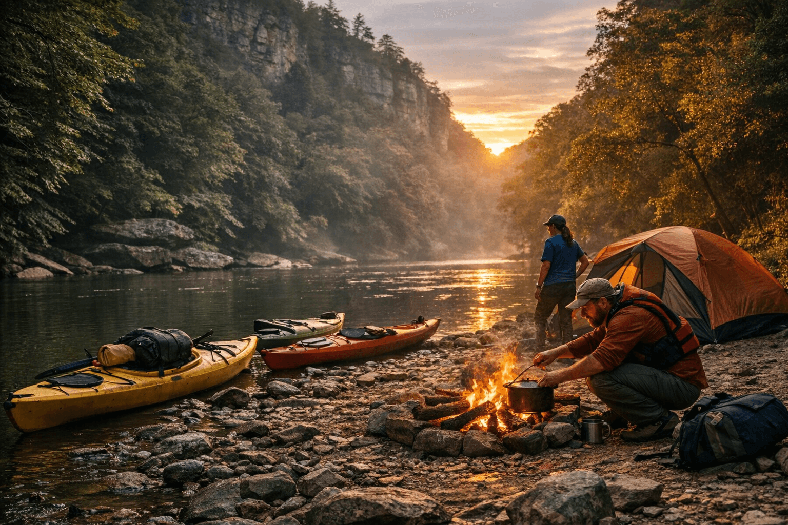
Camping, shuttles, and the local tourism payoff
The trip is being positioned as an overnight group outing, not just a solo paddle. One 2026 event listing says it includes shuttle transportation, riverside camping, and dinner, which removes some of the barriers that usually keep people from trying a multi-day float. Another tourism listing lays out the route more clearly: launch from Wolfe Creek, paddle to Fish Creek on day one, then continue to the Beattyville Boat Ramp on day two.
There is also an optional pre-event campout at Fish Creek Boat Ramp, and camping gear is transported for participants. Those details matter because they show this is being packaged as a ready-made experience, with logistics handled in a way that makes the trip accessible to people who do not want to arrange every piece themselves.
That packaging has a direct local-dollar angle. The Beattyville Enterprise version of the story says the trip is made possible by Lee County Tourism, Beattyville Main Street, Crazy Kayakers Adventures Club of Ohio, Kentucky River Authority, Lee and Owsley County Conservation, the Owsley County Fiscal Court, the Lee County Fiscal Court, the City of Booneville, and the City of Beattyville. When those groups line up behind a river trip, they are treating the South Fork as an economic asset, not a scenic backdrop.
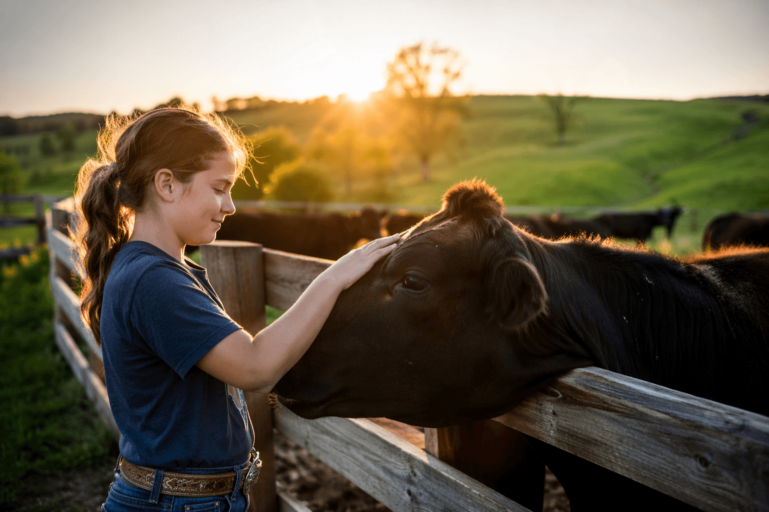
For Booneville, that matters. The city sits on the river corridor, and the Owsley County Historical Society says Booneville was once known as Boones Station and Moores Station before it was incorporated in 1846. The town’s river-centered history makes this kind of recreation a natural fit, especially in a county where the 2020 Census counted 4,051 residents and 2023 estimates put the population at 4,001. In a county that small, even modest visitor traffic can have a visible effect on local spending.
Why the route matters now
A USGS monitoring site at Booneville tracks the South Fork in Owsley County with a drainage area of 722.0 square miles, which shows how much land drains into the same river corridor paddlers are using. That scale helps explain why the South Fork still shapes land use, river access, and public awareness in and around Booneville.
The route also gives Owsley County something practical to point to when talking about tourism. It is not a vague promise of outdoor potential. It is a named launch point, a defined two-day float, public ramps at Fish Creek and Wolf Creek, known fish species, camping logistics, and a partnership list that already includes county governments and local tourism groups.
For residents, the real value is simple: the South Fork can still be used, not just admired. For visitors, the trip offers a straightforward way to experience one of eastern Kentucky’s most recognizable river corridors. For Booneville and Owsley County, it is the kind of repeatable, low-cost outdoor asset that can keep drawing people back as long as the river, the ramps, and the local partnerships stay open.
This article was produced by Prism’s automated news system from verified source data, official records, and press releases, then run through automated quality and moderation checks before publishing. The system is built and supervised by the people who set the standards it runs under. Read our full AI policy.
Did this article answer your question?