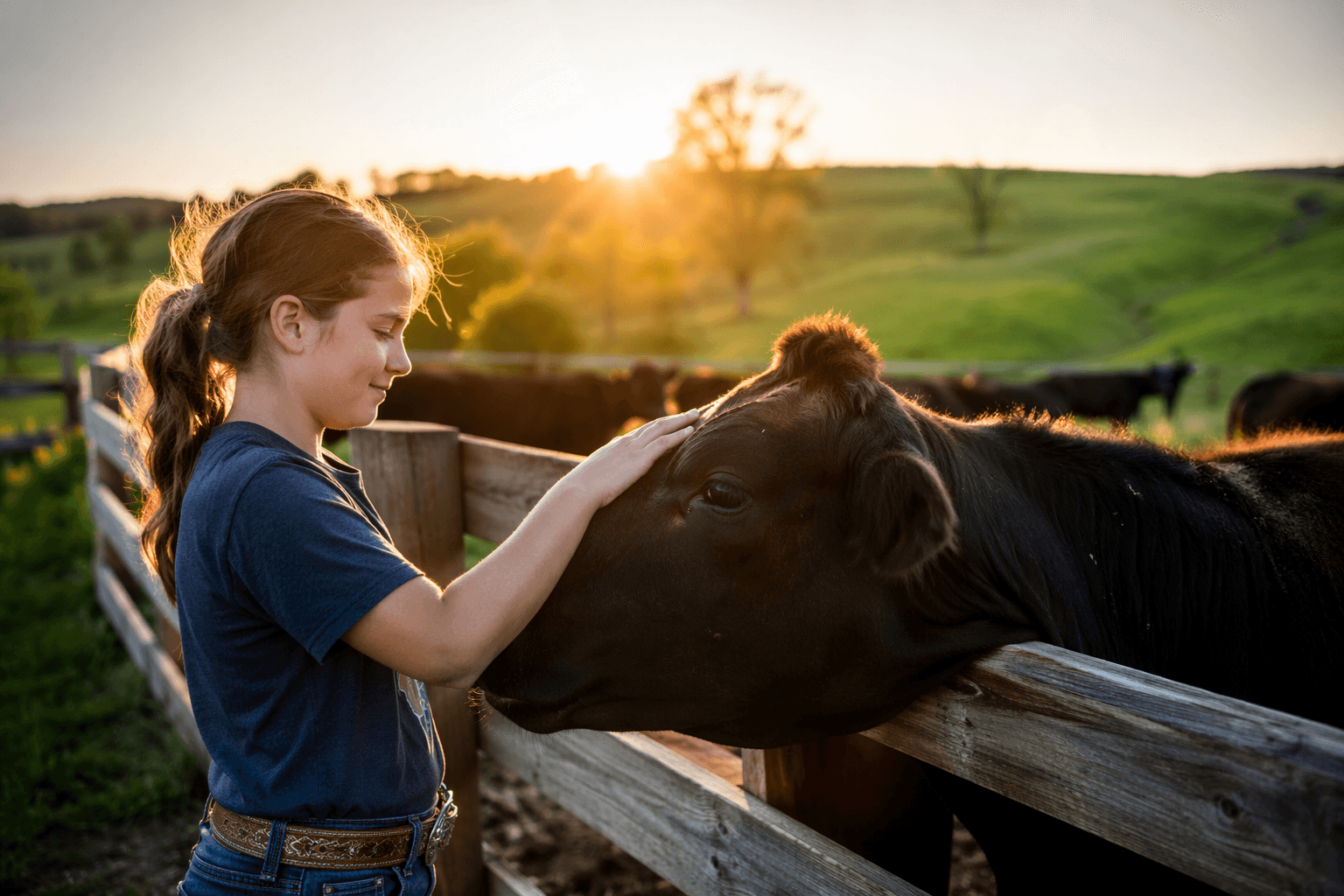
Owsley County Offers River Access, Trails, and Year-Round Outdoor Recreation
A $7.4 million federal grant is building a national rally training center on Owsley County's 200-acre AOT site, set to open in 2026 alongside the county's free river access and trails.
A $7.4 million ARISE grant from the Appalachian Regional Commission recently locked in funding for the most significant outdoor infrastructure project Owsley County has seen in decades. That investment, secured in part by Owsley County Judge/Executive Zeke Little Jr., state Rep. Chris Fugate, and Kentucky Senate President Robert Stivers, is transforming the Appalachian Overland Triangle's 200-plus-acre site near Old Landing into a nationally recognized motorsports and adventure hub with a 2026 target opening. The grant doesn't change what residents already have access to: free river put-ins within 12 to 19 miles of Booneville, forestry backroads suited to hiking and mountain biking, a recreation center that doubles as an emergency shelter, and a community calendar dense with low-cost events. But it does signal that the county's outdoor assets are about to carry much more weight.
South Fork Kentucky River: What to Expect Before You Go
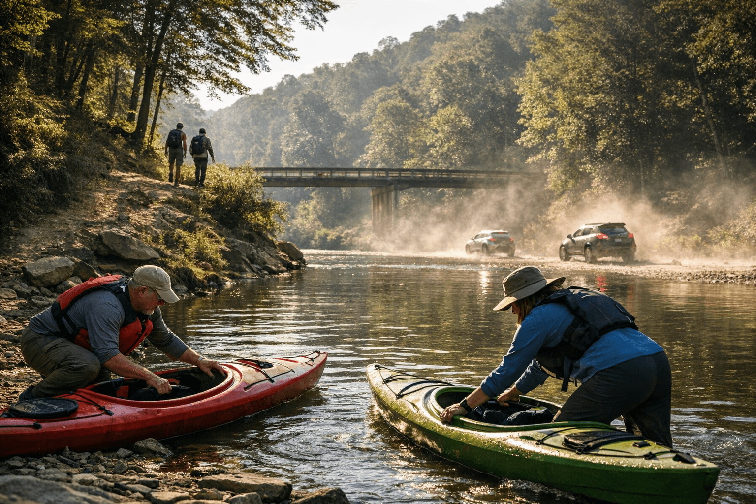
The Kentucky Department of Fish and Wildlife Resources maintains several public access points along the South Fork, and knowing which site fits your plans will save a wasted trip. The Bishop Bend School Road access, off KY-11 about 12 miles south of Booneville, is the closest to town. A small dirt parking area accommodates a handful of vehicles. The site works for canoe and kayak launches and limited bank fishing, though adjacent private property restricts where anglers can walk. Further south, the Cedar Valley Road access sits roughly 19 miles from Booneville and is reached by a gravel-and-dirt road; parking is again limited and there are no facilities whatsoever. Neither site has restrooms. Budget extra time if you're hauling boats on a trailer and plan for a roadside stop before you leave Booneville.
The most developed launch in the corridor is the Oneida Ramp, north of Oneida Elementary School off Newfound-Oneida Road. It offers a concrete single-lane boat ramp and a large paved parking lot, making it the most accessible option for paddlers with trailers, families with strollers, or anyone with mobility limitations. It is still without restrooms, but the paved surface and the structured ramp geometry make it the least demanding put-in in the area.
Water levels on the South Fork can shift dramatically with rainfall. The USGS National Water Information System maintains a real-time stream gauge on the South Fork at Booneville; check current levels before any float trip. The stretch from Bishop Bend southward to the Oneida area is best suited for canoes, kayaks, and small john boats at normal flows. Cell coverage is unreliable along most of the river corridor and essentially absent in the deeper hollows. Download offline navigation and let someone know your float plan before you leave; calling for help from the water may not be possible.
Ticks are active from late spring through early fall on forested riverbanks throughout eastern Kentucky. Wear long pants and sleeves on the banks, apply repellent, and do a full-body check after every outing. Summer heat adds real risk along low-canopy stretches of the river; bring more water than seems necessary, especially for children.
Appalachian Overland Triangle: A 200-Acre Site With a National Mandate
The AOT site near Old Landing has hosted off-road events and outdoor recreation gatherings for several years, drawing visitors from across the region to its mixed terrain of trails, cleared competition areas, and camp-friendly acreage. What changes in 2026 is scale. The American Rally Association is establishing its national training center on the property, housed in a 60,000-square-foot facility with shop bays and classrooms, supported by a 1.4-mile off-road course built for manufacturer and team testing. The project is a tri-state initiative linking Kentucky, West Virginia, and Ohio under the Backroads of Appalachia organization, and it is specifically designed to rebuild rural economies by turning adventure tourism into a recurring economic engine for counties like Owsley.
That word "recurring" matters. Unlike a one-time festival, a national training center generates repeat visits from teams, manufacturers, and rally officials over the full calendar year. For local businesses in Booneville, the closest town to the site, sustained visitor traffic rather than sporadic event weekends is the actual economic opportunity.
Until the full facility opens, the AOT continues to host events on a schedule set by organizers; some areas require event registration and entry fees. Check the Appalachian Overland Triangle's website for current event listings before making the drive. The site sits near Daniel Boone National Forest, which makes it natural to pair an AOT event with time on nearby forest roads.
Booneville Recreation Center and Neighborhood Parks
The Owsley County Recreation Center is a zero-commute option for Booneville residents and a short drive for those coming in from the county's hollows. Youth sports practices, community fundraisers, school athletic warmups, and civic meetings cycle through the facility across all four seasons. It also functions as a designated emergency shelter when severe weather moves through, and eastern Kentucky's spring and summer thunderstorm season means that function gets real use. For current youth programming calendars, the Owsley County School District's social pages are the most reliable source, as schedules shift seasonally.
Neighborhood parks scattered through Booneville provide no-cost green space for informal play, community picnics, and low-key gatherings. These spaces are the most friction-free outdoor option in the county, requiring no gear, no drive, and no advance planning.
Trails, Hollows, and Backroads
Owsley County's trail network is not polished. There are no interpretive signs, developed trailheads, or mapped loop systems on the scale of Red River Gorge. What the county offers instead is quieter: deep hardwood hollows, forested ridgelines, and old logging roads that reward unhurried exploration. Local forestry roads are used by hikers and mountain bikers who are comfortable navigating without formal infrastructure. Respect private property boundaries carefully, as much of the land in Owsley's hollows is privately owned and signage is sparse. Carry a printed map or download offline navigation before entering remote terrain.
The backroads are particularly striking during fall foliage season, when the mixed hardwoods hit their color, and in early spring, when wildflowers emerge on the hollow slopes well before leaves fill the canopy.
Community Events and Seasonal Calendar
Church bazaars, school fundraisers, farmers market days at the Owsley County High School farm sites, and library programs for children run throughout the year and form the most consistent free programming the county offers. The farmers market operates during the growing season and provides a direct connection to local agriculture and foodways. Spring drives the busiest stretch on the community calendar: cleanups, school sports events, and small festivals that depend on Owsley's tight volunteer networks to operate.
These events represent a real draw for anyone who wants to understand the county rather than just pass through it. They are low-cost or free, family-appropriate, and offer access to local knowledge and community relationships that no trail map can replicate.
Safety and Practical Planning Before You Leave Booneville
Owsley County rewards preparation and punishes improvisation. Gas stations, restaurants, and lodging options are limited county-wide, so fill the tank, pack food, and identify the nearest emergency services before heading into the backcountry. Medical and emergency services are based in Booneville, with regional trauma centers in larger nearby communities.
Before any outdoor outing:
- Check the USGS real-time stream gauge for the South Fork at Booneville before paddling
- Download offline navigation maps; GPS and cellular coverage fail in deep hollows and along much of the river corridor
- Pack significantly more water than expected; summer heat combined with physical activity in low-canopy terrain raises heat illness risk quickly
- Treat tick exposure as a certainty from late April through October; do a full-body check after every outing
- Confirm event schedules and any access fees for AOT before driving out, as operations vary by event
The opening of the ARA National Rally Training Center in 2026 will bring new attention to Owsley County from motorsports communities across the country. The South Fork river access, the backroads, and the community events calendar are already here, already free, and already worth the drive from Booneville.
This article was produced by Prism’s automated news system from verified source data, official records, and press releases, then run through automated quality and moderation checks before publishing. The system is built and supervised by the people who set the standards it runs under. Read our full AI policy.
Did this article answer your question?