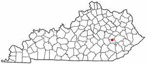
Owsley County profile highlights Booneville, forests and local landmarks
Booneville and the South Fork shape daily life in Owsley County, where forest land, waterfalls and local landmarks give the county its clearest sense of place.

Booneville at the center of Owsley County
Booneville is the anchor point that gives Owsley County its civic shape, its gathering place, and much of its day-to-day identity. As the county seat, it is where local services, events, and public conversations naturally come together, even in a county where the landscape spreads out far beyond town limits. That small center matters because Owsley is not built around a large commercial hub; it is built around a place people know, return to, and use as a reference point.
From Booneville, the county reads outward through water, forest, and hollowed ridges. In a place this small, the town is not separate from the county’s character. It is part of how residents describe where they live, where they go for errands and civic life, and where the county’s identity becomes visible to outsiders.
The South Fork and the landscape that defines daily life
The South Fork of the Kentucky River is one of the county’s most recognizable features, and it helps explain why Owsley County feels the way it does. Water is not just scenery here. It is a guide to recreation, travel, and the broader geography of the county, shaping how people move through the land and how they experience it season by season.
The county’s wooded hollows and public forest land deepen that sense of place. The Daniel Boone National Forest gives Owsley a landscape that is both practical and symbolic: practical because it supports outdoor use, and symbolic because it marks the county as part of a larger Appalachian forested region. Together, the river, the woods, and the hollows create the backdrop for much of the county’s recreational life.
Outdoor spaces that define how people use the county
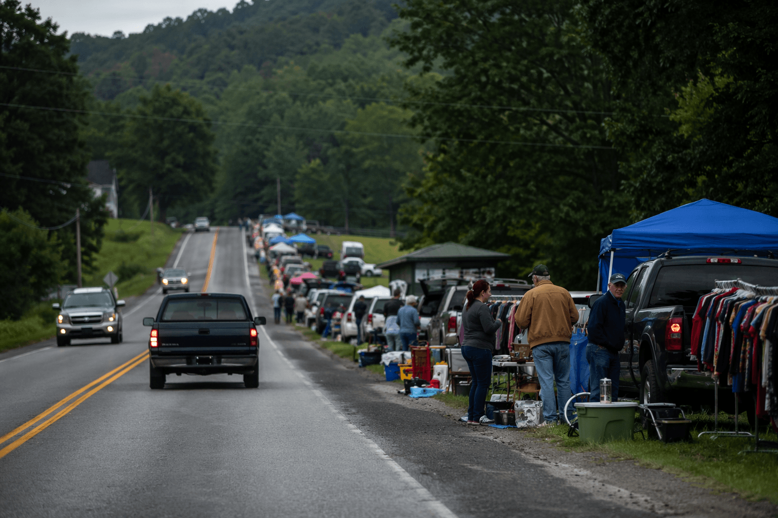
Owsley County’s appeal comes in large part from the land itself. The county profile points to activities that fit the terrain naturally, including canoeing, tubing, hiking, and riding ATVs. Those uses are not random additions to the landscape; they are direct expressions of it. The river invites water-based recreation, while the hills and wooded stretches make room for trail use and motorized exploration.
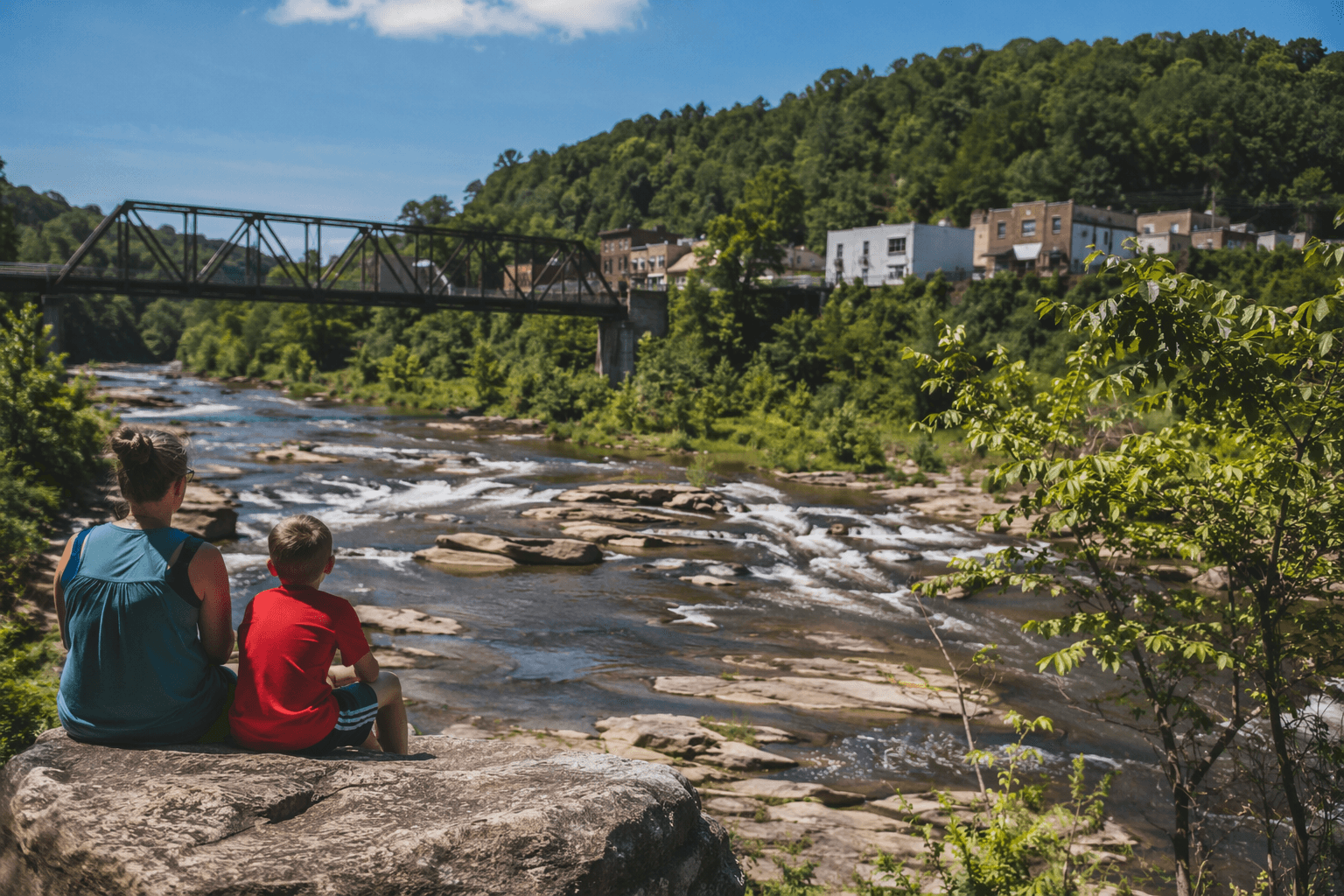
This matters because recreation in Owsley County is tied closely to local geography rather than to large-scale development. The county’s outdoor spaces are part of everyday life and part of its public image. They offer residents a way to experience home through the land, and they give visitors a clear reason to understand the county as more than a dot on the map.
- Canoeing and tubing fit the South Fork’s role in the county’s identity.
- Hiking and ATV riding reflect the county’s wooded terrain and public forest access.
- Forest and river scenery help turn ordinary travel into a visible reminder of place.
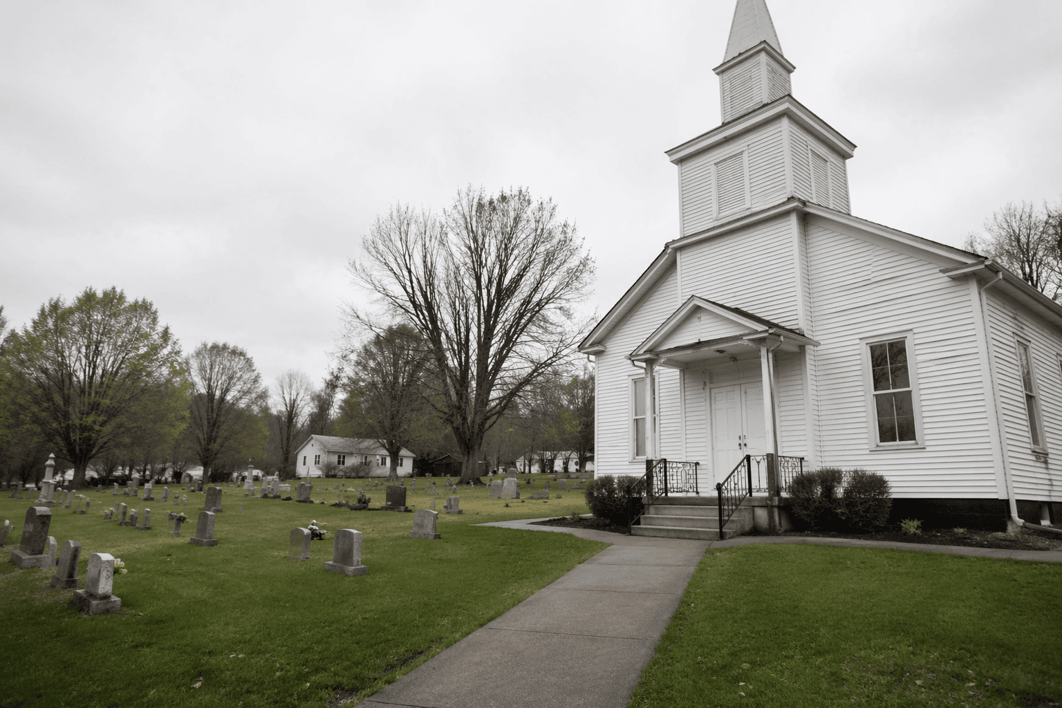
Landmarks that carry local memory
Among Owsley County’s best-known attractions is the Abraham Lincoln Relief Sculpture, a landmark that stands out because it combines cultural memory with local recognition. In a small county, one distinctive site can do a great deal of work. It becomes a meeting point, a reference in conversation, and part of the county’s broader story about who it is and what it values.
Other places such as Pioneer Village, Faith Hill, and the county’s waterfalls add another layer to that identity. These are not just recreational stops. They help form a map of local pride, where landmarks, scenery, and folk tradition sit side by side. In a county like Owsley, that kind of variety matters because it gives residents more than one way to describe home.
These places also show why local landmarks still carry weight now. They help preserve memory, support modest heritage tourism, and give the county visible markers that distinguish it from neighboring places. When people speak about Owsley County, they are often speaking through these sites as much as through its government or its roads.
Why place and identity remain connected
Owsley County’s profile works because it treats geography as identity, not background. Booneville, the South Fork, Daniel Boone National Forest, and the county’s landmark attractions all fit into the same story: a small Appalachian county with a clear center, a strong natural setting, and a collection of places that help residents understand where they live. That combination gives the county a coherence that is easy to overlook if the focus stays only on numbers or institutions.
The county’s character is shaped by the way its landmarks and settlement patterns interact. Booneville concentrates civic life. The forest and river spread that life outward into recreation and open space. The landmarks, from the Abraham Lincoln Relief Sculpture to waterfalls and Faith Hill, give the county recognizable touchpoints that translate local memory into places people can point to.
A compact county with a clear sense of self
Owsley County is small, but it is not vague. Its strengths lie in the clarity of its place-based identity: Booneville as the county seat, the South Fork as a defining natural feature, and the forested landscape as the setting for everyday life and outdoor recreation. Add in the county’s well-known attractions, and the result is a place that can be understood quickly but not superficially.
That is what gives Owsley County its staying power. The county’s roads, water, public forest land, and local folk-art attractions fit together into one rural Appalachian landscape that still feels legible to the people who live there. Booneville remains the center, but the county’s wider story is written in the woods, on the river, and at the landmarks that continue to carry its name.
This article was produced by Prism’s automated news system from verified source data, official records, and press releases, then run through automated quality and moderation checks before publishing. The system is built and supervised by the people who set the standards it runs under. Read our full AI policy.
Know something we missed? Have a correction or additional information?
Submit a Tip