Chavies: A Perry County Community Preserved in a Century of Records
Chavies has appeared in federal records since 1914, and a $10.7M EDA grant targeting the community in 2024 proves it still shapes how Perry County plans its future.
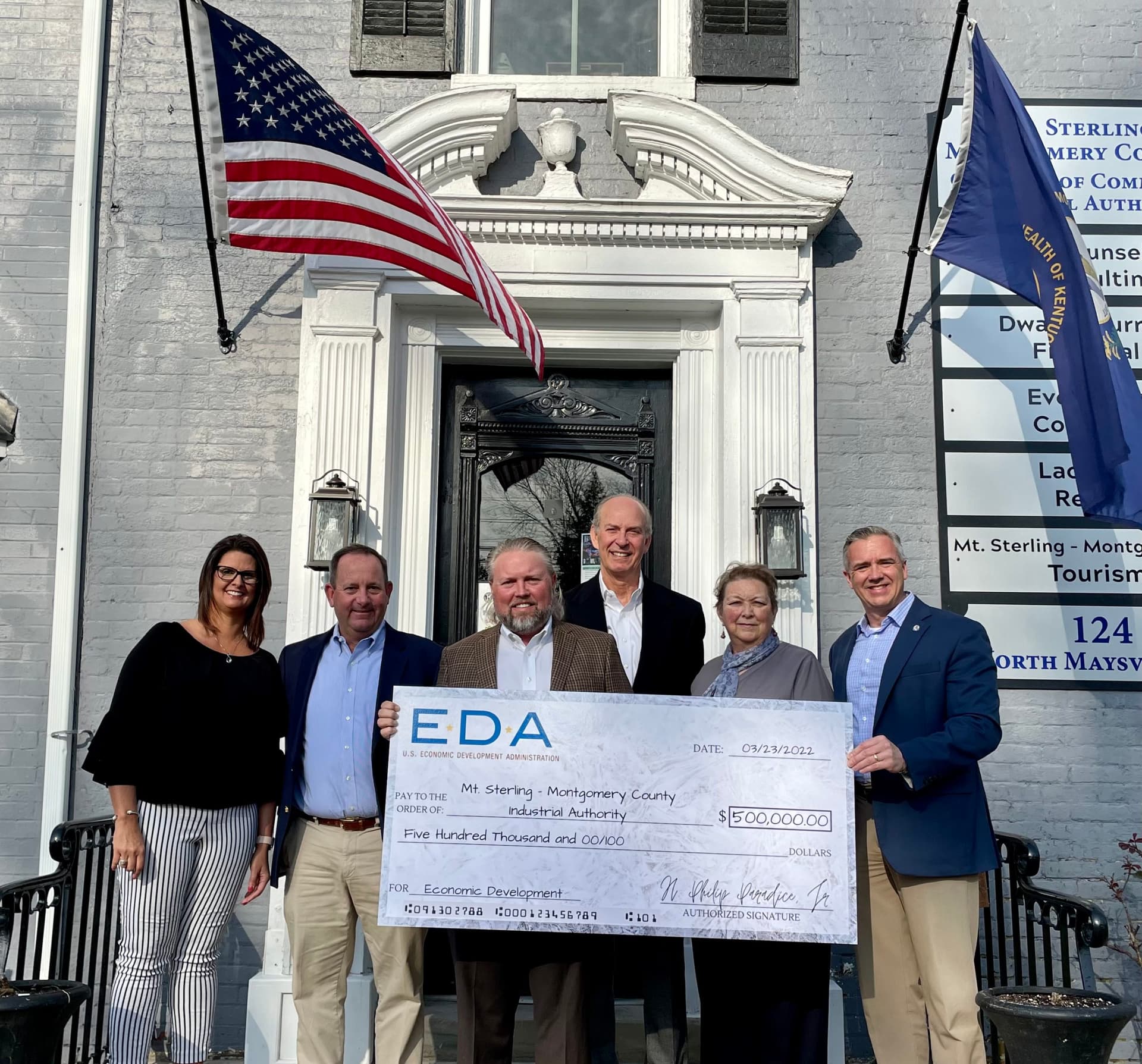
When Congressman Hal Rogers announced a $10.7 million federal grant from the Economic Development Administration in 2024 to extend a water transmission line from Buckhorn directly to the Coalfields Regional Industrial Park in Chavies, he framed it plainly: "This is a major project that includes building a new water treatment plant and extending new lines from Buckhorn to Chavies, and this investment from EDA puts us on the path to construction." That sentence treated Chavies exactly as it has been treated for more than a century, as a named, mappable, administratively real place that government systems build around. The community's staying power in the official record is not accidental. It is, in fact, the story.
A Postal Address Before There Were Paved Roads
The earliest documentary confirmation of Chavies as a distinct community appears in the 1914 Report of the Postmaster General, which recorded a star mail route running from Buckhorn to Chavies. Star routes were contracted rural delivery lines, awarded only when a settlement had enough population and commerce to justify regular service. The Buckhorn-to-Chavies designation in 1914 tells us that federal postal administrators, working from population data and community petitions, had already drawn a boundary around Chavies and declared it a destination. That distinction carried practical weight: it gave residents an address recognized by institutions beyond the county seat and made Chavies legible to outside systems of commerce, government, and communication at a time when eastern Kentucky's road network was barely formed.
34,641 Tons: The Industrial Footprint in State Records
Coal placed Chavies firmly inside the documented industrial geography of eastern Kentucky. A 1936 Kentucky Geological Survey and State Department of Mines report listed Chavies Coal Co. by name and recorded a production figure of 34,641 tons for that entry. That number is more than a historical curiosity. It situates a specific company, at a specific location, producing a specific, verifiable volume of coal in a year when the Depression was still grinding through Appalachia's mining towns. Production records of this kind are among the most reliable primary sources for confirming where economic activity happened, because they were filed for regulatory and tax purposes, not for posterity.
The company's presence extended into legal records as well. In *Johnson v. Chavies Coal Co.*, decided by the Kentucky Court of Appeals in 1957, the court described Chavies Coal Co. as having taken over assets connected to Coneva, weaving the company into the documented chain of property transfers and corporate succession that defines so much of Perry County's mid-century industrial history. A name that shows up in both state mining reports and appellate court decisions is one that planners, historians, and attorneys can anchor to a physical place with confidence.
The Camera as Archive: FSA Photography Along KY-28
The human dimension of Chavies entered a different kind of record through Farm Security Administration photography. Library of Congress holdings include FSA images documenting an abandoned coal tipple and miners' homes near Chavies in Perry County, with the caption noting that some residents "still remain on relief," a detail that captures the community at its most economically exposed. These photographs, taken as part of the federal government's Depression-era and wartime documentation effort, are not merely evocative. They are georeferenced historical evidence. The fact that a federal photographer was assigned to document conditions specifically at Chavies confirms that the community was large enough, and its circumstances significant enough, to warrant national attention. For anyone researching family history tied to the Perry County coal camps, the FSA collection at the Library of Congress represents a visual record that no county ledger can replicate.
The Name in Active Use: From Road Signs to the USPS Finder
Chavies did not fade into informal usage after the coal economy contracted. Perry County's road index today includes Chavies Dunraven Road, Chavies Dunraven Cemetery Road, and Chavies School Road, infrastructure designations that require a named community anchor to make sense on maintenance schedules and emergency dispatch maps. The county also lists Wendell Ford Airport at a Chavies address, placing a piece of active regional aviation infrastructure under the community's postal designation.
The USPS location finder currently shows an active Chavies Post Office on KY-28. That office serves roughly 640 residents with a median income of $28,393, according to postal service data, and an estimated 1,022 packages pass through it each year. Those are not the numbers of a ghost town. They are the profile of a living rural community whose name functions every day in shipping logistics, address verification software, and emergency routing systems that depend on zip code and locality data to work correctly.
2024: Sewer Lines, Infrastructure Planning, and the Weight of a Place Name
The most direct translation of Chavies's documented history into present-day consequence appears in two recent public actions. A 2024 public notice for the Chavies Sewer Extension Project described the project area along Kentucky Highway 28 from Haddock Fork Road toward the KY-15 intersection, a corridor that anyone who drives that stretch of eastern Perry County will recognize immediately. The project was partly triggered by flood damage, placing it in the continuum of infrastructure recovery that has defined so much of Perry County's post-2022 experience.
The EDA water grant targeting Chavies follows the same administrative logic. When a grant writer submits a project application naming Chavies as a service zone, every layer of the federal review process, from eligibility mapping to environmental review to congressional sign-off, depends on Chavies appearing as a coherent, bounded community in authoritative records. The 1914 postal route, the 1936 mining report, the FSA photographs, and the active USPS designation are not relics sitting in an archive. They are the paper infrastructure that makes it possible for county engineers, utility planners, and federal agencies to agree on where Chavies begins and ends.
What the Record Means for Families and Grant Writers
For families tracing property ownership or genealogy through Perry County's coal-camp era, the Chavies record is unusually complete. Mining company ledgers, postal-route schedules, state production reports, appellate court filings, and federal photographs covering roughly eight decades are all accessible through public archives, and they all point to the same KY-28 corridor. That consolidation is rare for a community of this size in eastern Kentucky, where many comparable settlements survive in only one or two documentary categories.
For economic development practitioners, the implication is equally concrete. Communities with this depth of official documentation are better positioned for historic preservation nominations, for broadband and utility planning grants that require demonstrated service zones, and for any federal program that scores applications partly on the basis of documented community need. Chavies has been answering that need in the record since at least 1914; the question now is whether the planning infrastructure around it matches the weight of the history underneath it.
Know something we missed? Have a correction or additional information?
Submit a Tip