Flash flood warnings issued for Perry County amid heavy rain
Thunderstorms dropped up to 2 inches on southeastern Perry County, with Daley, Viper, Smilax and other low-lying spots in the flash flood warning area.

Heavy thunderstorms pushed flash flood warnings across southeastern Perry County and east central Leslie County, with Daley, Viper, Smilax and nearby hollows in the warning area. The National Weather Service office in Jackson posted Doppler radar showing bands of heavy rain moving over the region as runoff built fast in eastern Kentucky’s steep terrain.
At 3:09 p.m. EDT, between 1 and 2 inches of rain had already fallen, with as much as 1 additional inch still possible. The warning named the places most exposed to quick flooding: Big Rock, Yeaddiss, Daisy, Big Fork and Cutshin, along with smaller creeks and low-lying road crossings where water can rise faster than drivers expect.
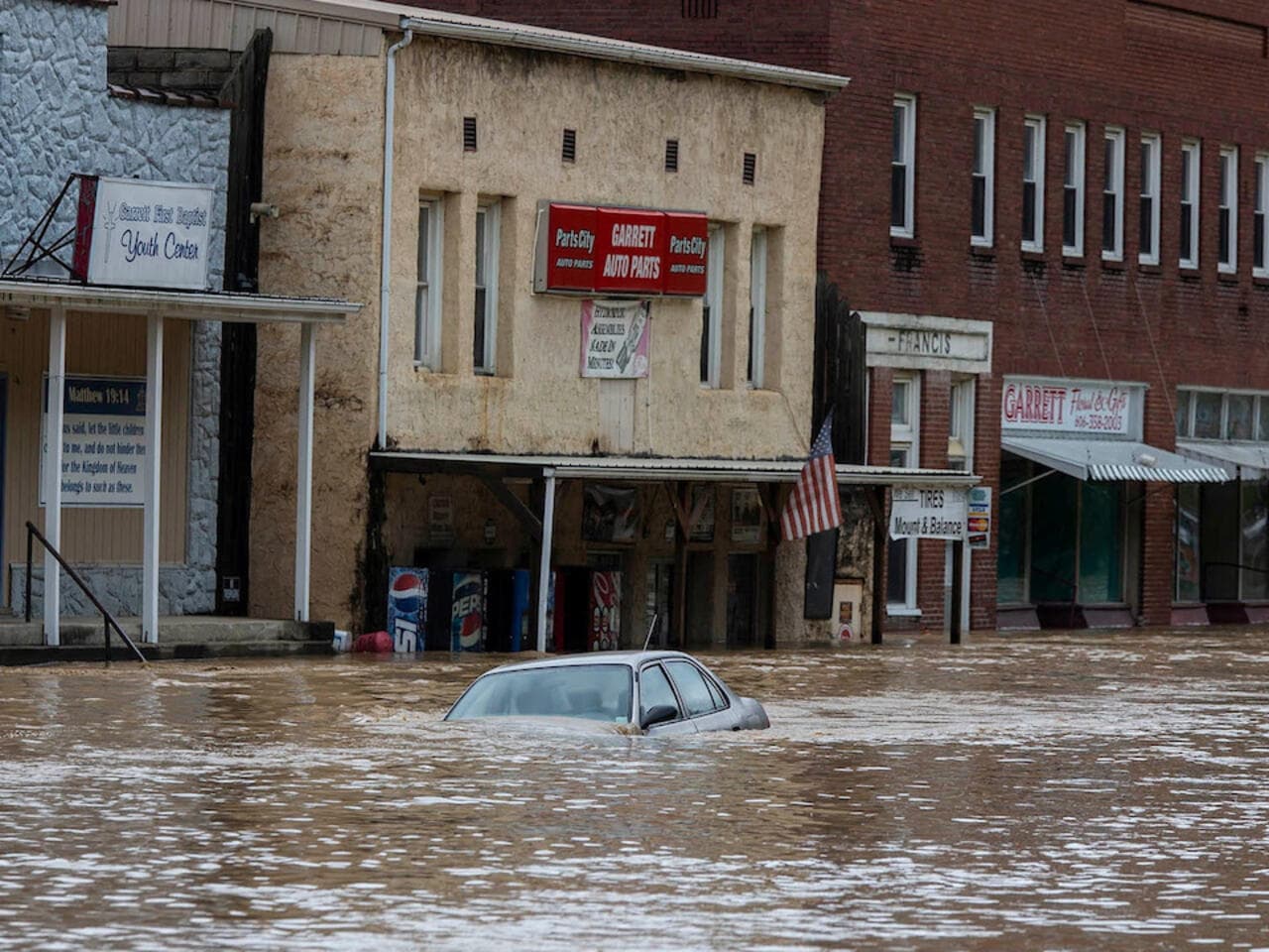
A later warning product issued at 5:17 p.m. EDT extended the flash flood warning through 5:15 p.m. EDT and said flash flooding was ongoing or expected to begin shortly. Much of Kentucky had already been under a Flash Flood Watch since Thursday, a sign that repeated rounds of rain were setting up a broader flood threat even before the warning was issued for Perry County.
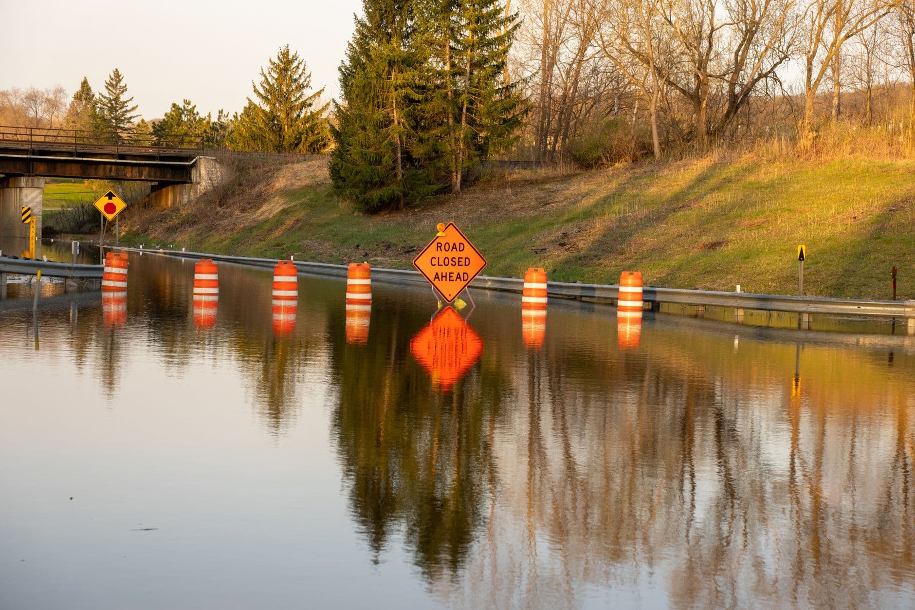
The National Weather Service Jackson forecast page still showed active flood-related alerts in the region at 6:44 p.m. EDT Sunday, including a Flash Flood Warning, Flood Advisory and Flood Watch. Later that evening, the Jackson office cancelled the flood watch for portions of east central, northeast, south central and southeast Kentucky.
This article was produced by Prism’s automated news system from verified source data, official records, and press releases, then run through automated quality and moderation checks before publishing. The system is built and supervised by the people who set the standards it runs under. Read our full AI policy.
Did this article answer your question?