Perry County braces for dangerous flooding as Hazard river rises
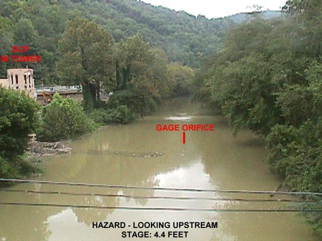
Floodwater warnings for downtown Hazard turned concrete as NOAA said Main Street floods at 34.6 feet and most of town is covered at 37.5 feet.
Gov. Andy Beshear declared a state of emergency in Kentucky on June 27 as severe weather and widespread flooding pushed the commonwealth into emergency response mode, with the Office of the Governor saying up to 7 inches of rain were possible in some areas and the threat was expected to continue through 11 p.m. EDT. Beshear urged drivers to stay off roadways after dark because of dangerous conditions and limited visibility, while Bullitt, Madison, Meade, Mercer and Spencer counties had already declared local states of emergency.
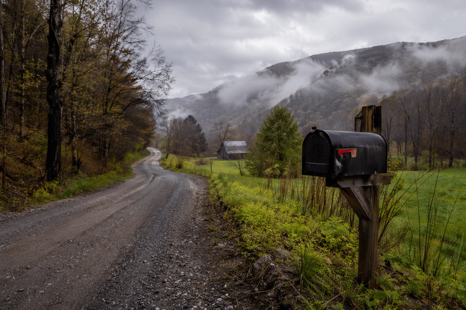
For Perry County, the most immediate warning came from the North Fork of the Kentucky River gauge at Hazard. NOAA’s flood-impact notes say that at 33 feet, major flooding occurs and much of the business district is covered. At 34.6 feet, Main Street is flooded in front of the First National Bank building. At 37.5 feet, flooding would exceed the highest stage on record and most of Hazard would be covered.
Those numbers describe a downtown flood that can reach storefronts, cut off deliveries, disrupt commutes and block access to homes and public services. In a city where Main Street and the business district sit close to the river, the gauge readings were not abstract thresholds. They signaled the point where routine travel, school runs, supply drops and daily work could stop as water rose through the lowest parts of town.

The danger was not confined to Hazard. Kentucky Emergency Management says flooding can affect just one neighborhood or spread across several counties or states, and its flood-readiness guidance tells residents to keep track of nearby waterways, rivers and dams. The agency also recommends flood insurance through the National Flood Insurance Program for property owners, renters and businesses, a reminder that flood damage can hit homes as hard as commercial property.
The scale of the storm had already turned deadly across Kentucky. The Associated Press reported that at least four people had died in the flooding, underscoring how quickly the situation worsened as heavy rain moved through the state.

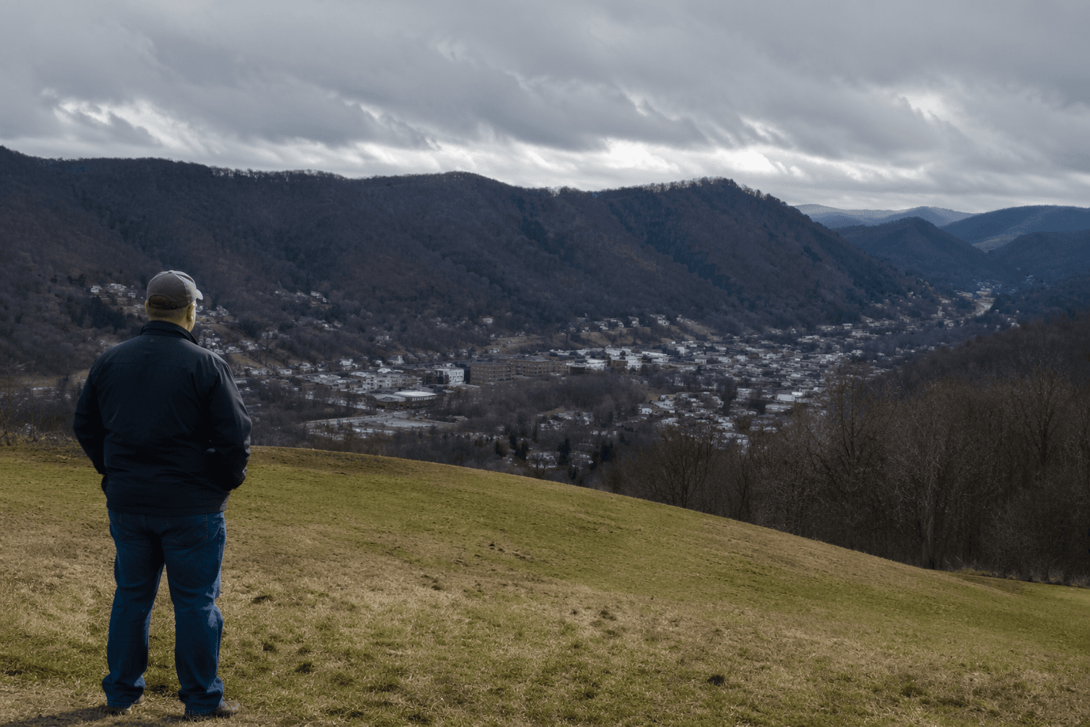
Perry County’s flood risk also sits inside a long eastern Kentucky pattern. National Weather Service historical material says the North Fork of the Kentucky River sweeps through Hazard in one of the worst flood-prone corridors in the region’s history, and the 1957 flood produced unprecedented peak discharges on the North Fork and many records that still stand today.
This article was produced by Prism’s automated news system from verified source data, official records, and press releases, then run through automated quality and moderation checks before publishing. The system is built and supervised by the people who set the standards it runs under. Read our full AI policy.
Did this article answer your question?