Perry County explains how disaster damage gets assessed and documented
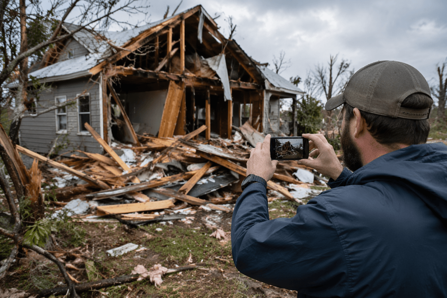
Perry County’s damage surveys can decide whether storms unlock outside aid, so residents need to photograph every wrecked home, road, culvert and utility line fast.
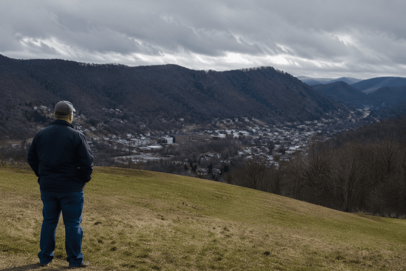
A missing roof photo or an unreported washed-out culvert can weaken Perry County’s case for state and federal disaster aid. The county’s assessment totals help determine whether a disaster is severe enough to seek outside help, and that paperwork can shape whether state and federal money reaches Hazard, Vicco, Buckhorn, Chavies and the smaller hollows that tie them together.
How Perry County turns storm damage into aid
Perry County starts with preliminary assessments to judge whether the damage is serious enough to qualify for a disaster declaration. Jerry Stacy, Perry County’s emergency manager, described that sequence at a Perry County Fiscal Court meeting on Feb. 10, 2026, saying the county checks whether it has enough damage to qualify and, once declared, must go to each site and record it in survey 123 so the state can see the damage.
State or tribal officials generally collect initial damage-assessment information and usually have 30 days from the start of an incident to decide whether federal assistance may be needed under FEMA’s framework. If the damage appears to exceed the recovery capacity of the state, tribe or territory, officials can request a formal Joint Preliminary Damage Assessment. Those assessments can be done in person or virtually.
For Perry County residents, that means the first photographs and site notes after a flood or severe storm are not just useful for insurance claims. They also help build the record officials need to show the scale of the event to Frankfort and, if necessary, to Washington.
What to photograph before cleanup starts
The strongest damage file is specific, local and visible. After a storm, photograph the property as it looked before repairs, debris removal or temporary fixes change the scene. The goal is to show what was damaged, where it sits and how it affects daily life in Perry County.
Capture these items if they are affected:
- Homes from the outside, including roofs, siding, porches, foundations and windows
- Interior flooding, soaked floors, damaged walls and ruined belongings
- Driveways, private roads and washed-out shoulders
- Public roads, culverts, ditches, bridge approaches and sinkholes
- Wells, septic systems and visible utility lines
- Fallen trees, mudslides, landslides and debris piles that block access
- Damage near landmarks such as the road network around Hazard, Vicco, Buckhorn and Chavies
- Any temporary housing need if the home cannot be occupied
Take wide shots first so the location is clear, then close-ups that show the depth of the damage. If a culvert has failed or a road has slipped, include enough of the surrounding area to show how the problem affects travel, mail delivery, emergency response and utility service.
Where the information goes
In Perry County, the local assessment work runs through Perry County Emergency Management and then into the state system. Kentucky Emergency Management area managers deploy to incident sites, assess damages, identify needs and advise local officials on state and federal assistance programs. Perry County sits in KYEM Area 8, based in Prestonsburg, which also serves Breathitt, Floyd, Johnson, Knott, Lawrence, Leslie, Letcher, Magoffin, Martin, Pike and Wolfe counties.
When county staff document damage in survey 123 and state officials review the impacts, the local record becomes part of the case for aid. If residents later need individual assistance, the county’s damage picture also helps show whether Perry County belonged in the declaration and whether more counties should be added.
The February 2025 flooding showed how that chain works in practice. On Feb. 24, 2025, President Donald Trump approved an expedited major disaster declaration for 10 Kentucky counties including Perry. The declaration opened public assistance for local governments and individual assistance for residents in the affected counties. Two days later, Gov. Andy Beshear visited flood-affected residents in Perry and Knott counties, and his office said additional counties could be added if further damage assessments warranted it.
Why speed matters when the county is counting damage
Perry County’s place in eastern Kentucky’s flood-prone terrain makes timing important. The county has dealt with repeated emergency declarations, and preliminary damage assessments are the tool used to determine the impact, magnitude and resulting needs in FEMA records tied to the 2023 disaster.
A Housing Development Alliance update identified Perry County as among the hardest-hit areas, put the peak number of Eastern Kentuckians without power at more than 40,000, and said Buckhorn Lake State Resort Park in Perry County was taking displaced residents.
How recovery dollars followed the damage record
On April 25, 2025, Gov. Beshear announced more than $8 million in Perry County funding tied to recovery and housing projects. That announcement included money for homes at the Skyview neighborhood in Hazard. That same spring, the state also said the Perry County Fiscal Court would receive additional millions for sewer and housing-related recovery work in flood-damaged areas.
The county’s documentation does not stop at the declaration itself. It becomes part of the case for housing, sewer work, public infrastructure and mitigation projects that shape whether residents can move back up the hill, reopen a business or keep a road passable the next time heavy rain hits.
This article was produced by Prism’s automated news system from verified source data, official records, and press releases, then run through automated quality and moderation checks before publishing. The system is built and supervised by the people who set the standards it runs under. Read our full AI policy.
Did this article answer your question?